2016 is a special year for the United States National Park Service as they celebrate their 100th anniversary. What better way to commemorate this milestone than to visit one of their amazing parks this year?
Maybe you should consider The Grand Canyon National Park located outside of Flagstaff, Arizona. This is one of my favorite parks to visit in the US for several reasons, but here are my top five:
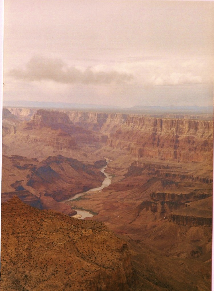
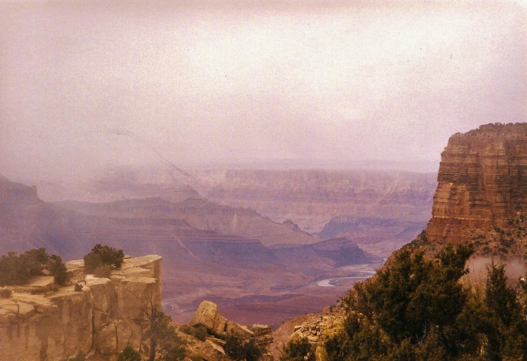
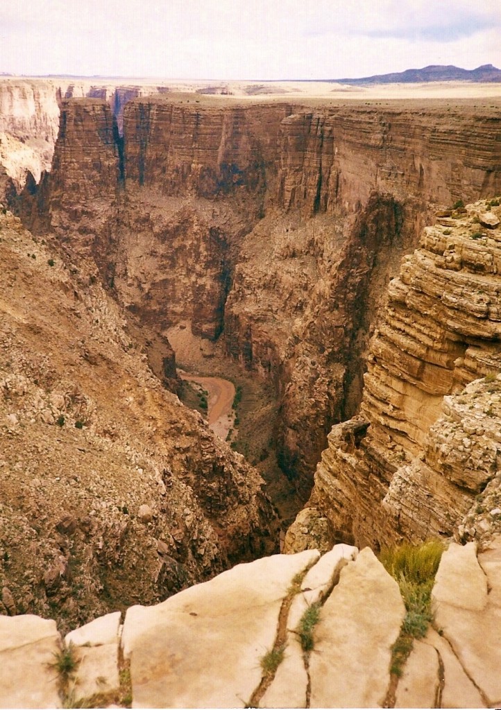
The Winding Colorado River, Grand Canyon
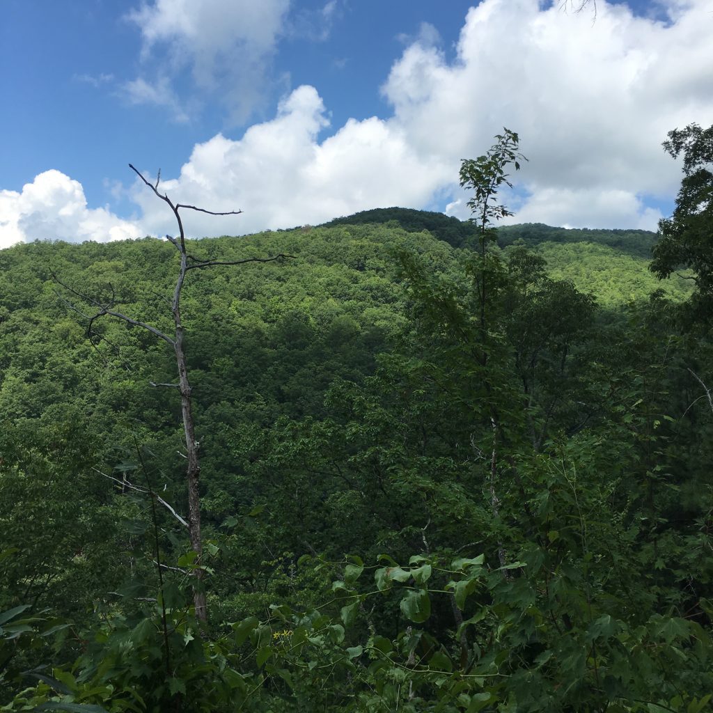
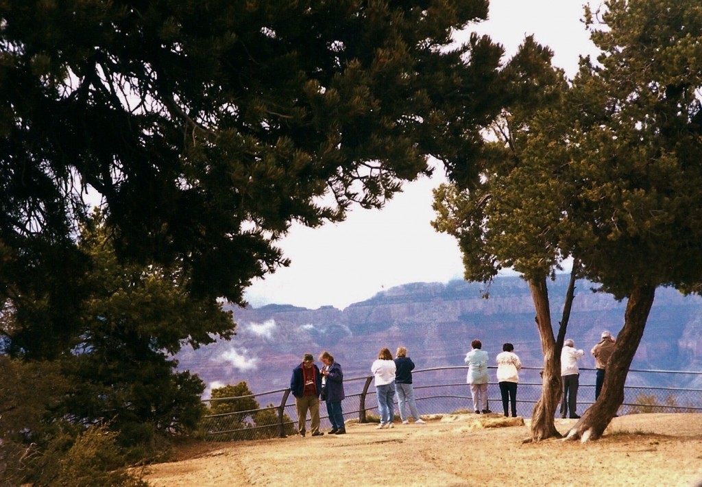
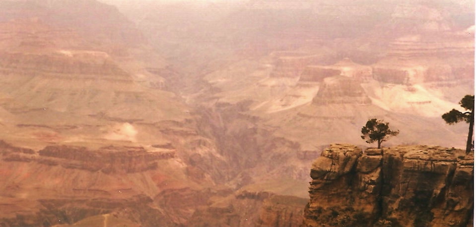
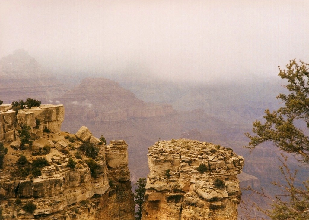
The Scenery and Landscapes
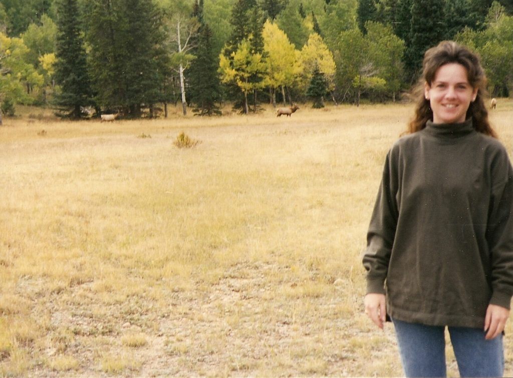
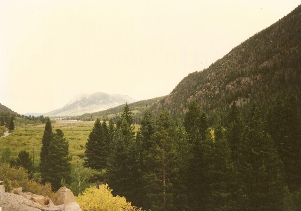
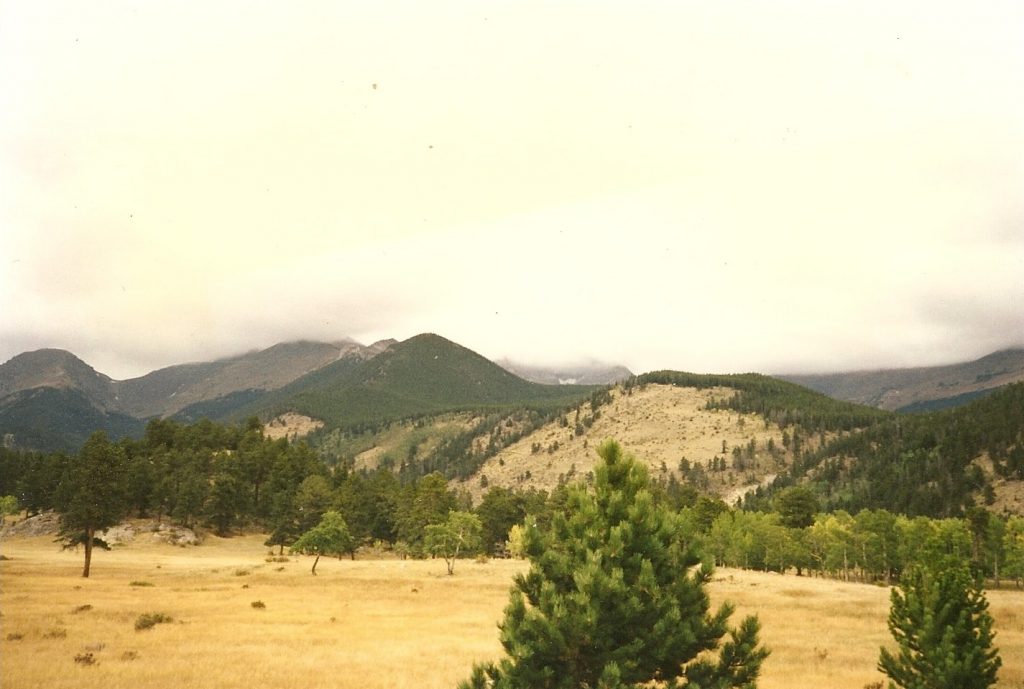
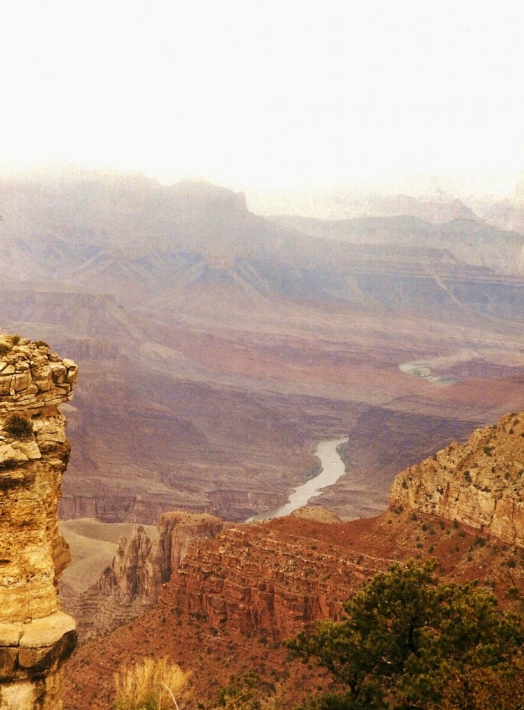
How could I even begin to describe the awe that comes from viewing the Grand Canyon? It seems unimaginable that the power of one river, the Colorado, could carve out something so beautiful over a long period of time. With a length of 277 miles and stretching 18 miles wide, this geological phenomenon attracts close to 5 million visitors each year.
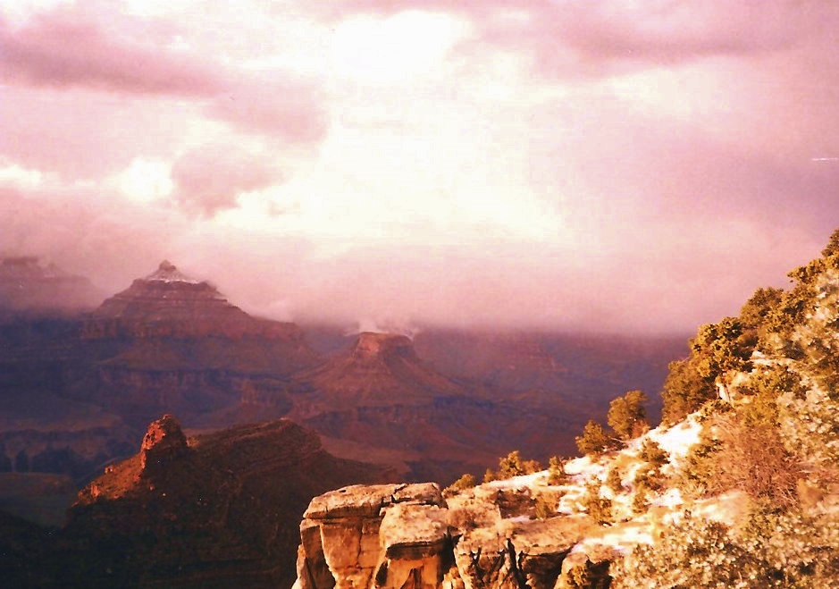
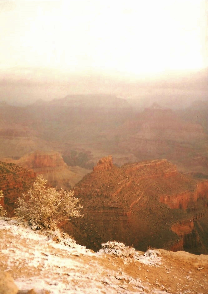
April Snow on the Grand Canyon
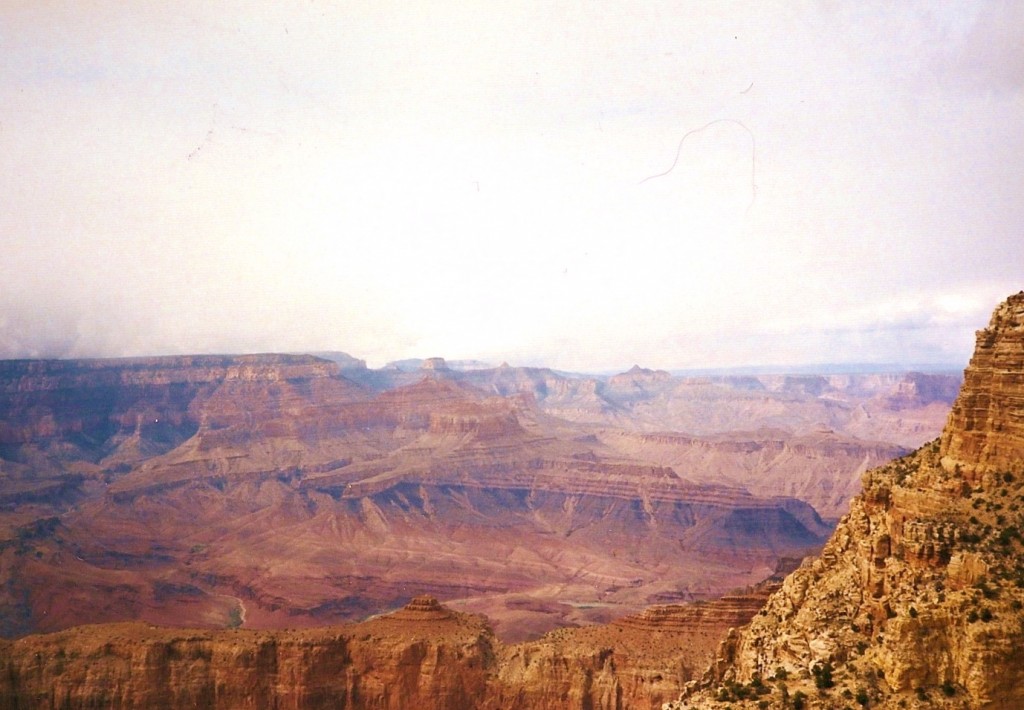
In addition to the enormity of the canyon, the layer upon layer of color is the perfect backdrop to a kaleidoscope landscape. The park is divided into two sections, the North Rim, reaching heights of about 1,000 feet over the South Rim. This difference in elevation means that the North Rim’s temperature is colder and access to this section of the canyon is limited during the winter season. During one of our visits in April, there was evidence of a recent snowfall.
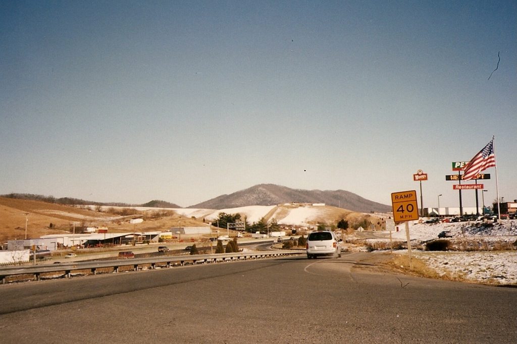
Depending on the weather, the South Rim is typically open all year round while the North Rim is generally open mid-May to mid-October.
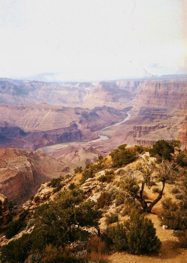
The Fabulous View of the Colorado River, Grand Canyon
History
The Grand Canyon has been inhabited for thousands of years with its first settlements erected by the Native Americans. Known by the Indians as “Ongtupqa”, this was a holy site and pilgrimages were made to this canyon and its many caves. One of the most interesting sites of Indian habitation is located at Nankoweap Creek where ancestral granaries can be found along the Colorado River. Fast forward a few hundred years and the area would eventually be visited by the Spanish and later the Americans. It would one day become a preserve established by President Theodore Roosevelt in 1906 and then declared as the 17th US National Park in the year 1919 by President Woodrow Wilson.
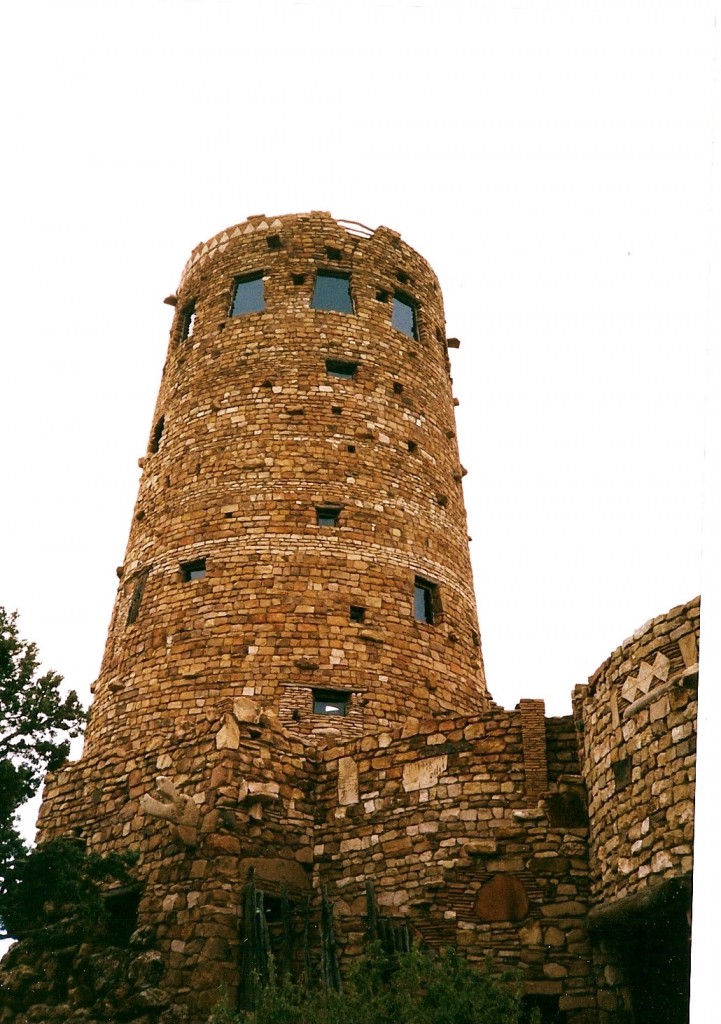
Desert View Watchtower
Driving or Tram Tour
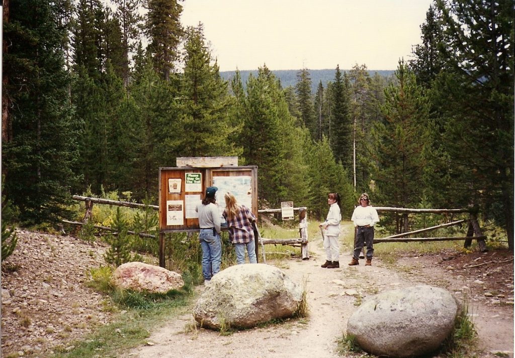
Many of the buildings, sites and attractions are located on the South Rim and are easily accessible from Grand Canyon Village. The park provides a tram on the grounds which is also very convenient, stopping at the major sites. Here are some of the points of interest on the South Rim.
- There are several structures on the South Rim that were designed by Mary Colter to include Bright Angel Lodge, Hopi House, Lookout Studio and one of my favorites, Desert View Watchtower.
- Considered the most luxurious of all of the Grand Canyon hotels is the El Tovar Hotel. It was designed by Charles Whittlesely and completed in 1905 in the style of “National Park Rustic”.
- Verkamp’s Curios was a popular place to pick up souvenirs and local arts and crafts. It was reopened in 2010 as a visitor center dedicated to the history of the Grand Canyon Village.
- Buckey O’Neill Cabin is the “longest continually standing structure”, built in the 1890s. It is currently open as a popular guest house requiring reservations many months in advance.
- Kolb Studio was built by two brothers in 1904 as a photography studio on site. The structure became an art gallery after Emery Kolb’s passing in 1976.
- One of the most interesting buildings that remains in the park is the Grand Canyon Railway Depot which is said to be one of the last log cabin train stations ever built in the US.
You can also choose to drive the route yourself which will allow you ample time to enjoy the attractions at your own pace.
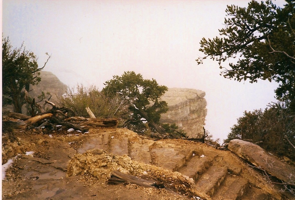
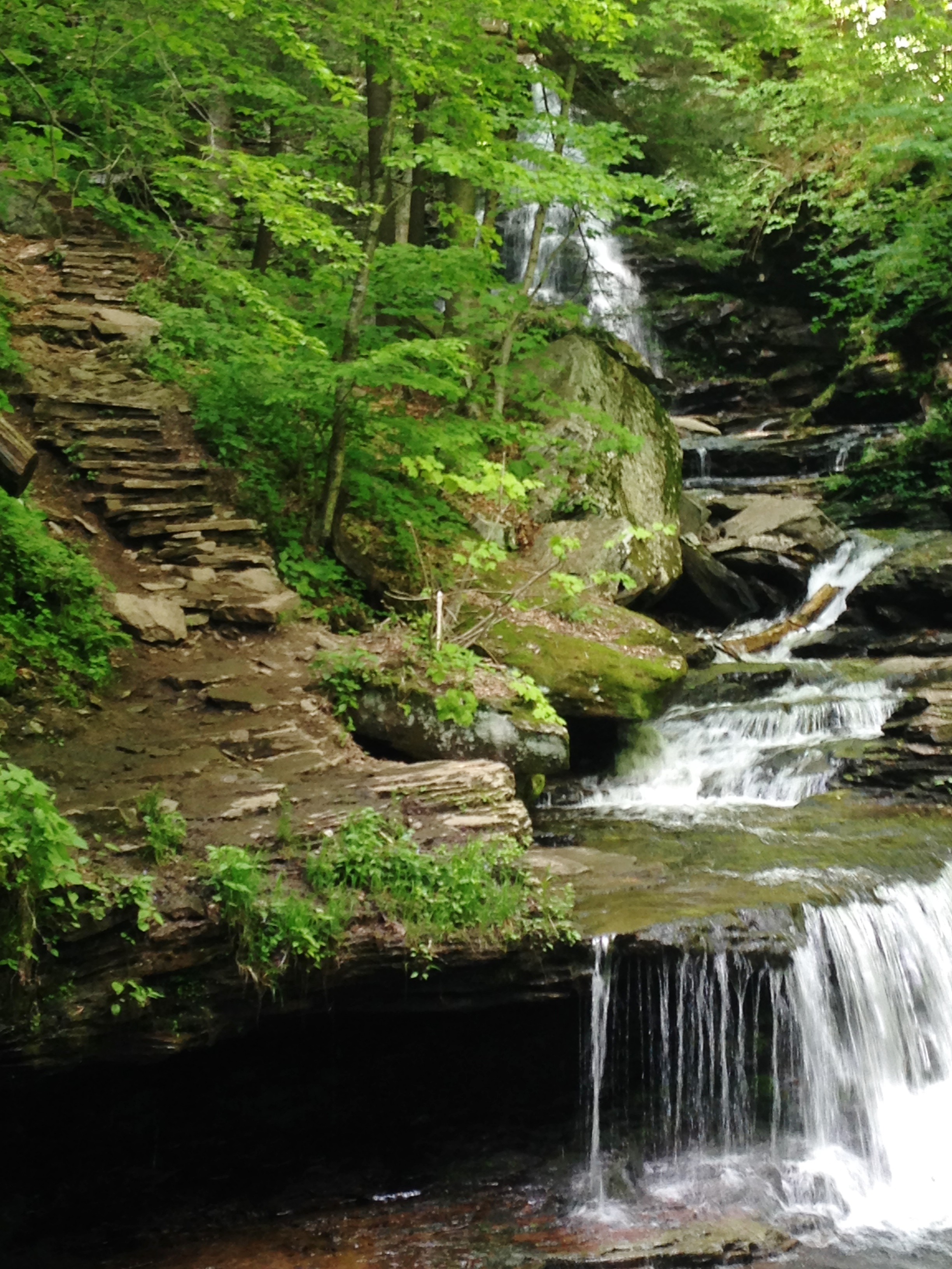
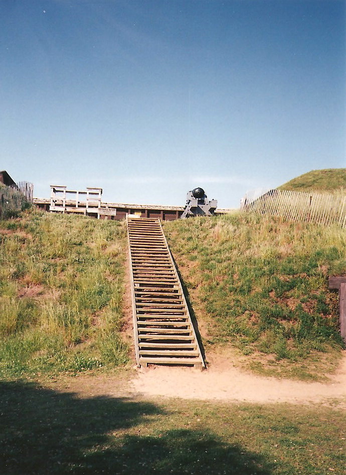
Stairs Leading down to the bottom of the Grand Canyon, Hiking
Hiking
Hiking is one of the most popular activities within the Grand Canyon. There are several trails that follow the rim of the canyon as well as take hikers deep down into the gorge, reaching the Colorado River. In addition to the strenuous activity of hiking, there are other factors to consider before hitting the trail, such as altitude and weather. Temperatures can reach over 100° F down in the gorge during the summer months and can fall way below freezing in the winter. Hikers must be aware of such effects as sunburn, dehydration and hypothermia.
Plants and Animals
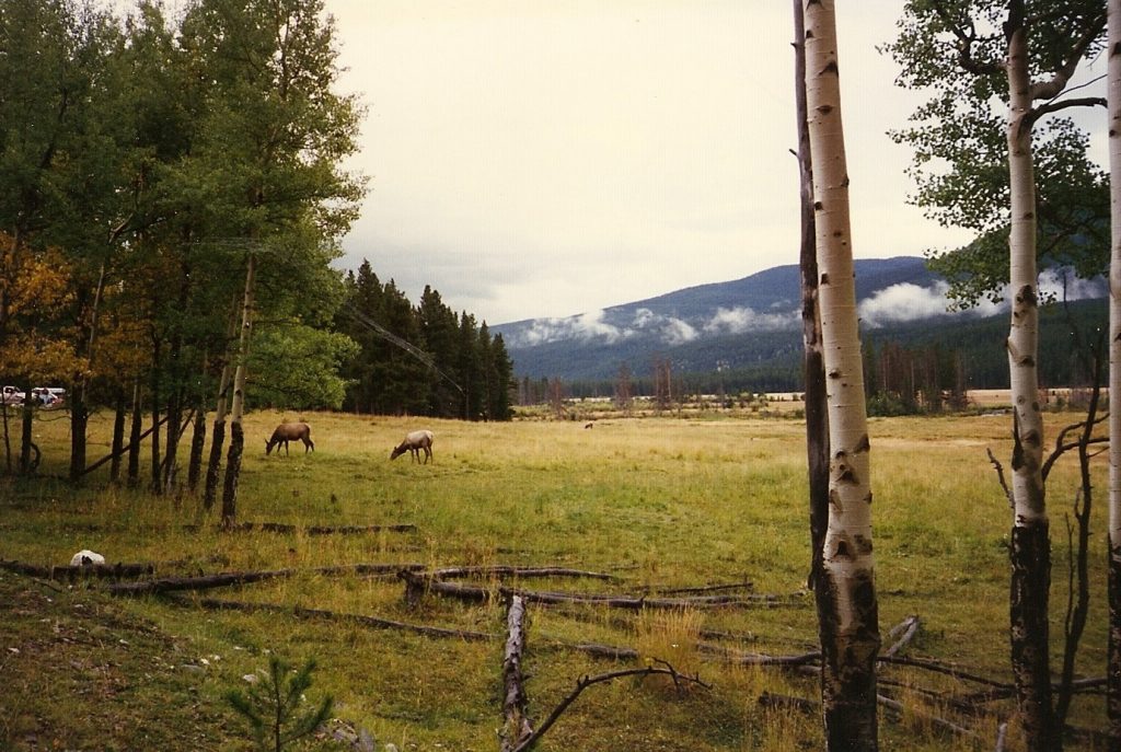
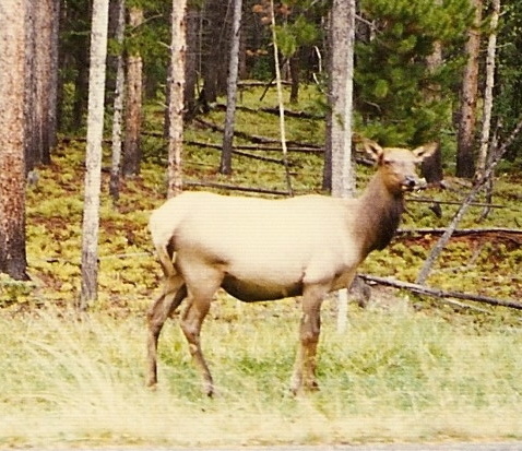
If you are a lover of plants or animals, the Grand Canyon is your paradise. According to Grand Canyon National Park, there are “approximately 1,737 known species of vascular plants, 167 species of fungi, 64 species of moss and 195 species of lichen found in Grand Canyon National Park”. I agree that the plant life is a very important part of the Grand Canyon’s ecology, but I have a greater interest in the wildlife and I am overwhelmed by the number of species that make the canyon their home. Within the park and its environs are an abundance of mammal species. In addition there are birds, fish, amphibians as well as reptiles. Here is an abbreviated list of some of the animals that have been found in the canyon:
| · Abert’s squirrels |
· Feral burros |
· Red squirrels |
| · Antelope squirrels |
· Gray foxes |
· Ringtails |
| · Beavers |
· Mountain lions, rare |
· Rock squirrels |
| · Black bears |
· Mule deer |
· Shrews |
| · Bobcats |
· Muskrats, rare |
· Spotted skunks |
| · Coyotes |
· Pocket mice |
· Tassel-eared Squirrels |
| · Desert bighorn sheep |
· Porcupines |
· Weasels |
| · Elk |
· Raccoons |
|
It is always appropriate to remain cautious should you encounter one of the wild animals at Grand Canyon. Do not feed the animals and stay far enough away to ensure your well-being as well as the animal’s safety.
Although the Grand Canyon is not the deepest canyon in the world, it certainly is spectacular. From hiking to driving, rafting to camping, there are so many other ways to explore this amazing national park. And just when you think you have exhausted all possibilities of things to do, don’t forget to catch a glimpse of this magnificent gorge by helicopter. With its colorful landscape and fascinating geology, it is one of the most interesting of all of the National Parks in the United States.
Have you had the opportunity to visit the Grand Canyon? What is your favorite activity? I would love to hear about your adventure if you would kindly leave a message in the comments section below! Many thanks for reading about my visit to the Grand Canyon and wishing you many Happy Travels!
What to See and What to Do:
Grand Canyon National Park
PO Box 129
Grand Canyon, AZ 86023
Telephone: 928 638 7888
- Admission Fee: $35 per vehicle for seven days; $30 per motorcycle for seven days; $20 per individual (biker, hiker, pedestrian) for seven days; Annual pass for Grand Canyon only: $70
- Hours: The South Rim is 24 hours a day, 365 days a year. The North Rim is closed during the winter, so check the sites website for the most recent information.
- Amenities: Shuttle system, picnicking, hiking, camping, guided tours, ranger programs, river trips, mule trips, backpacking
- Scenic View: Sunset and sunrise from most anywhere in the canyon are spectacular, but the website provides a great list of stops for enjoying sunrise and sunset. ;
- Length of Visit: Several days
- Tips for Your Visit: The park’s website has a few suggestions such as bring an extra set of keys in the event you lock yourself out because it could be a long wait for a locksmith. Major car repairs in Flagstaff or Williams, Arizona. Keep your gas tank full as the closest gas station may be quite a distance. Finally, carry plenty of water in your car, especially during the summer months.
Where to Stay:
Grand Canyon National Park
PO Box 129
Grand Canyon, AZ 86023
Telephone: 928 638 7888
There are several hotels on the South Rim to include Bright Angel Lodge, El Tovar Hotel, Kachina Lodge, Thunderbird Lodge, Maswik Lodge. There is also an RV park, Yavapai Lodge. For reservations, contact 888 297 2757. If the onsite accommodations are full, there are several hotels surrounding the Grand Canyon.
Phantom Ranch offers dormitories and cabins who are exploring the Grand Canyon by mule or by hiking. Reservations are made through Grand Canyon National Park Lodges via an on-line lottery 15 months in advance.
Where to Eat:
Grand Canyon National Park
PO Box 129
Grand Canyon, AZ 86023
Telephone: 928 638 7888
For a list of restaurants and groceries at The Grand Canyon, select the following link: https://www.nps.gov/grca/planyourvisit/restaurants.htm
What to Eat:
- Avocado Fries are sliced avocados dipped in spiced bread crumbs and deep fried.
- Chiltepin Peppers….very hot!
- Cholla, a cactus found in the area, that is boiled and the gooey acid is removed to eat directly or added to salsas.
- Cochinitos are a puffy, doughy cookie usually found in the shape of a pig. This light dessert is seasoned with molasses and cinnamon.
- Prickly Pear Cactus which is made into a candy and a sweet syrup
- Sonoran Hot Dog, popular in Phoenix and Tucson, this Mexican creation is topped with beans, onions, and tomatoes along with mayonnaise and mustard.
- Tamales!
What to Read:
- The Emerald Isle: The Epic Story of the Fastest Ride in History Through the Heart of the Grand Canyon, by Kevin Fedarko
- Grand Canyon, by Jason Chin
- The Exploration of the Colorado River and the Canyons, by John Wesley
- Over the Edge: Death in the Grand Canyon, by Michael P. Ghiglieri and Thomas M. Myers
- The Monkey Wrench Gang by Edward Abbey
- I am the Grand Canyon, by Stephen Hirst
Photo Guide for the Grand Canyon:
- South Rim Viewpoints: Yavapai Point
- Mather Point
- Desert View Drive
- Shoshone Point
- Yaki Point
- Grandview Point
- Navaho Point
- Desert View Watchtower
- Hermit Road
- Horseshoe Bend
- Bright Angel Point
- Point Imperial
- Cape Royal
- Toroweap / Tuweep
- Havasu Falls
- Best places to watch the sunset:
- Lipan Point
- Navajo Point
- Yavapai Point
- Toroweep
- Point Imperial
- Cape Royal
Disclosure: Please refer to our blog disclaimer tab for more information.
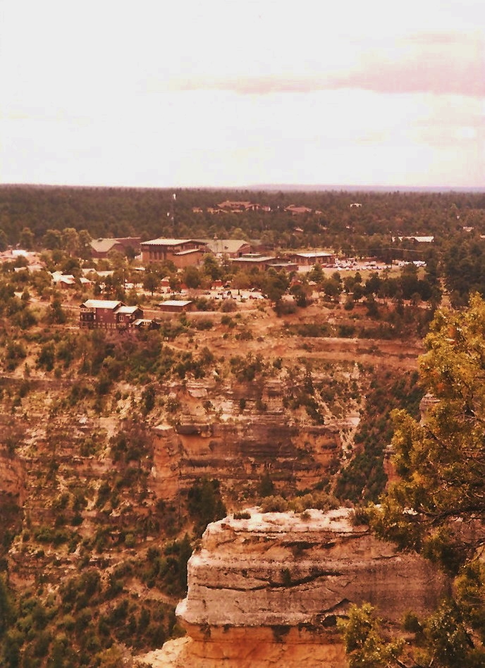
A view of the hotels at the Grand Canyon
Morning Fog in the Grand Canyon
The Grand Canyon Travels Far into the Distance
Scenic overlook from the Tour Bus
Capturing the Depth of the Grand Canyon
Trees Growing Through the Rocks of the Grand Canyon
The Colorful Grand Canyon
The Vastness of the Grand Canyon
Snow in the Grand Canyon