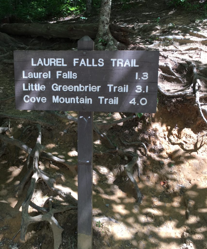
Laurel Falls is considered one of the most popular trails at Great Smoky Mountains National Park. The 2.6 mile round trip paved trail is considered easy and reaches the spectacular 80 foot high falls. For 50 cents I picked up a self-guided pamphlet which pointed out several places of interest and we set out for the trail surrounded by pine trees and oaks for an enjoyable trek through the mountain wilderness.

There are eleven markers that correlate with the trail brochure and the first stop describes the laurel plant which grows along the path. During the early summer its blooms range from pink to white. Rhododendron are also popular along the path displaying larger leaves and growing taller than the mountain laurel.

Having passed through the forest of pine, oak and hardwoods, the topography switched from ridge to ravine. Here the trail curved sharply with deep drop-offs to the left. We began to see more rocks and there were several places to take a break along the path.
We regrouped and continued upwards as the trail continued its gradual climb towards the falls. We crossed over a small creek that trickled down the hill, through large and small rocks providing water to the rhododendron, hemlock and beech plants along the trail.
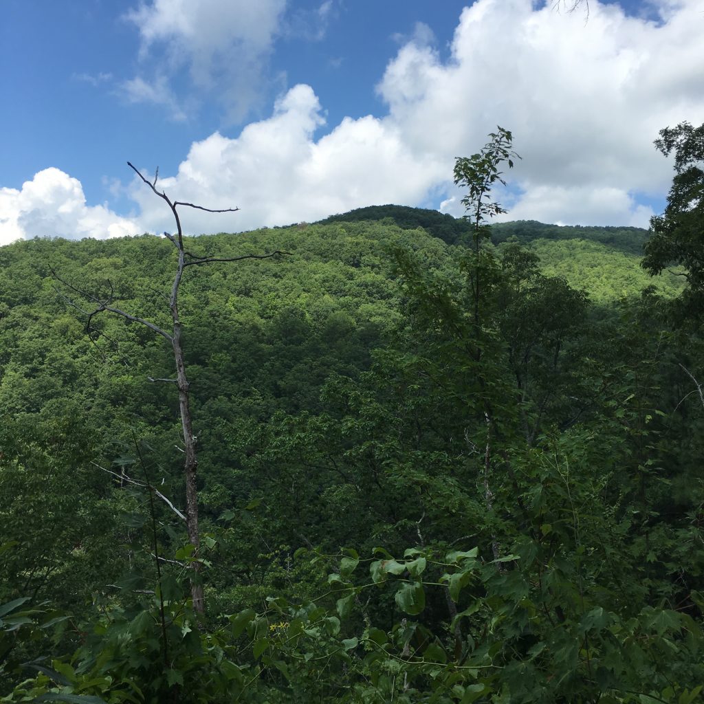
Soon, there was a break in the trees creating a “picture window” at marker number seven. The rounded peak in the distance was covered with trees and there was a sharp drop from the edge of the pavement.
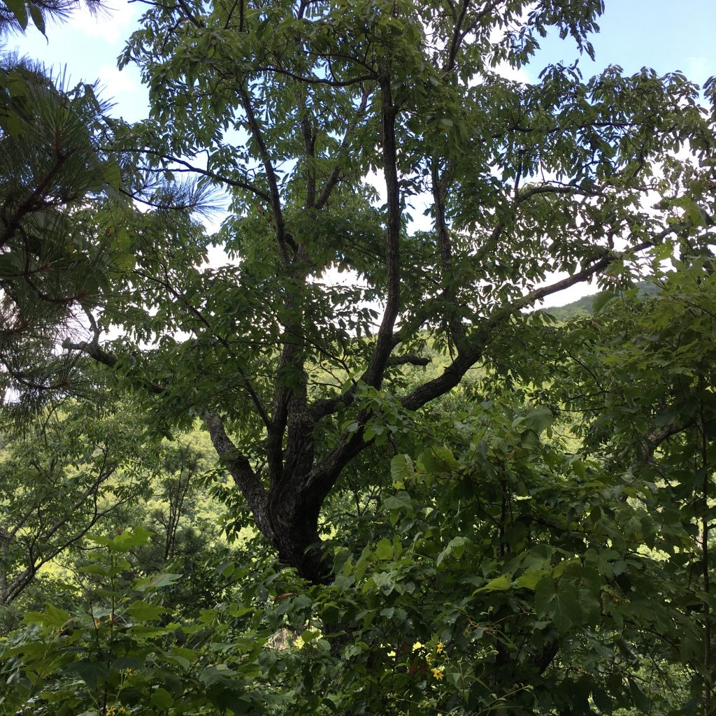
The further we continued up the trail, the more contorted the trees became due to high winds, lightning strikes and other severe weather conditions. Interestingly, the aggressive change in climate does not affect the lichen that attaches itself to rocks and trees.
The pathway changed drastically before reaching the falls. Steep cliffs dangerously hugged the narrow trail which alerted us that we were nearing our destination. We began to hear sounds of water rushing from Cove Mountain as we continued our approach and gave a sigh of relief that we had arrived safely.
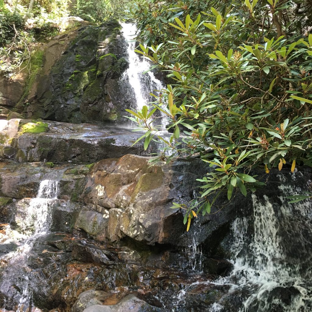
The double-drop cascade was spectacular as its light spray lit upon our faces cooling us down from the hike. The rocks were slippery and we moved with caution to allow other hikers to pass by standing in awe of its beauty. We gave ourselves about fifteen minutes to revel in our accomplishment and curiously tested the temperature of the runoff before backtracking towards the trailhead. It would all be downhill from here.
Have you hiked the Laurel Falls Trail or other trails in the Great Smoky Mountains? I would love to hear about your experience if you would kindly leave a message in the comments section below. Many thanks for checking out my hike and wishing you many Happy Travels!
What to See and What to Do:
Laurel Falls
From Sugarlands Visitor Center, turn toward Cades Cove on Little River Road and drive 3.5 miles to the trailhead where there are parking areas on both sides of the road.
Telephone: 865 436 1200
- Admission Fee: There is no charge to visit Laurel Falls as it is a part of the Great Smoky National Park.
- Hours: The park is open year around, though access to Laurel Falls may be limited during the winter months.
- Amenities: Pamphlet for hike ($.50)
- Scenic View: Spectacular views of Great Smoky Mountains throughout the hike
- Length of Visit: 1 – 2 hours, depending on whether you can walk up the steep hill
- Tips for Your Visit: Wear comfortable shoes for hiking. Wildlife, such as bears, may be wandering around the property, so be on the lookout and do not approach them. We like to visit here in the afternoon as the trees provide shade from the warmer weather.
Where to Stay:
We stayed in a rental through VRBO called the Firefly Chalet.
Where to Eat:
Bennett’s Bar-B-Que
2910 Parkway
Pigeon Forge, TN
Telephone: 865 429 2200
I ordered the Carolina Pork Sandwich and the Salad Bar.