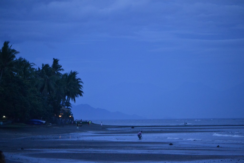
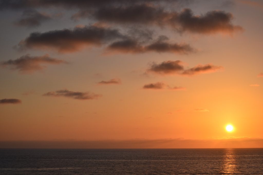
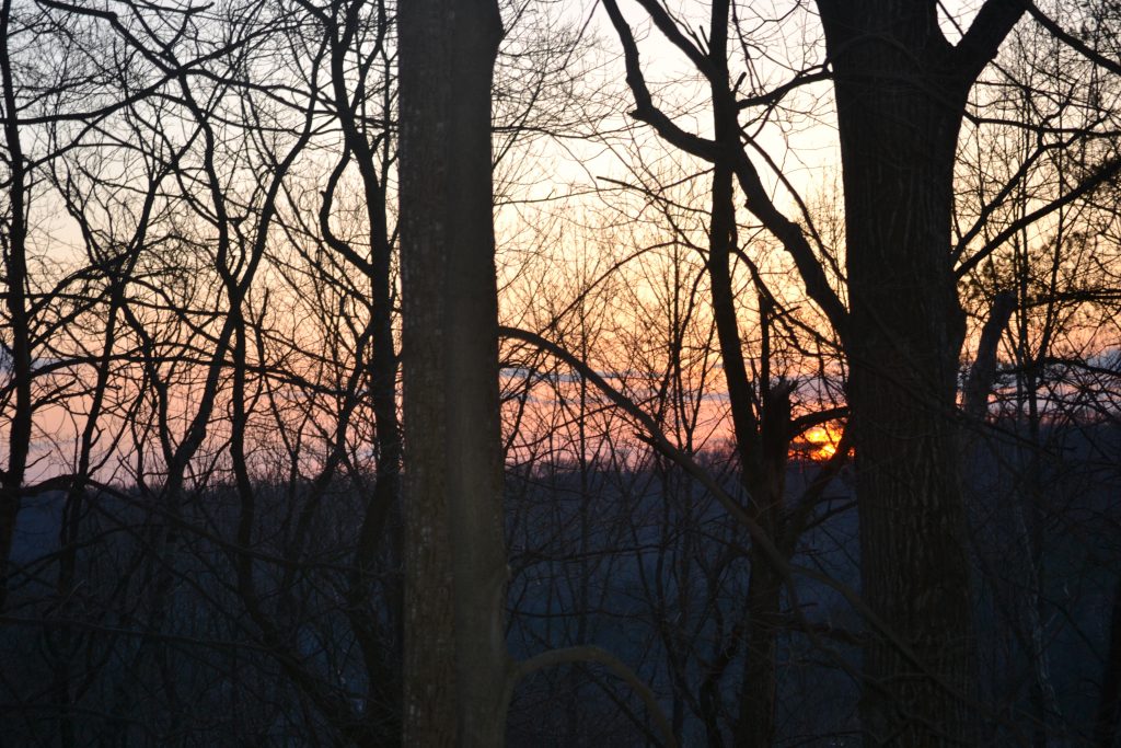
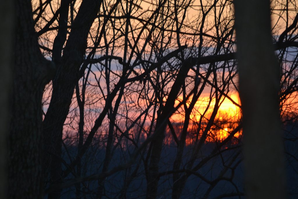
Early morning sunrise on Lovina Beach, Bali
Just as I had predicted, I had a great night’s sleep at the Aditya Beach Resort on Lovina Beach in Bali. Waking up early, I wanted to walk along the beach at dawn while the weather was still brisk and invigorating. Besides the lonely fisherman and a couple of tourists, I had the beach all to myself. I walked the short length of the coast where rowboats had been pushed up along the sand next to piles of seaweed and debris and birds were searching for their morning breakfast.
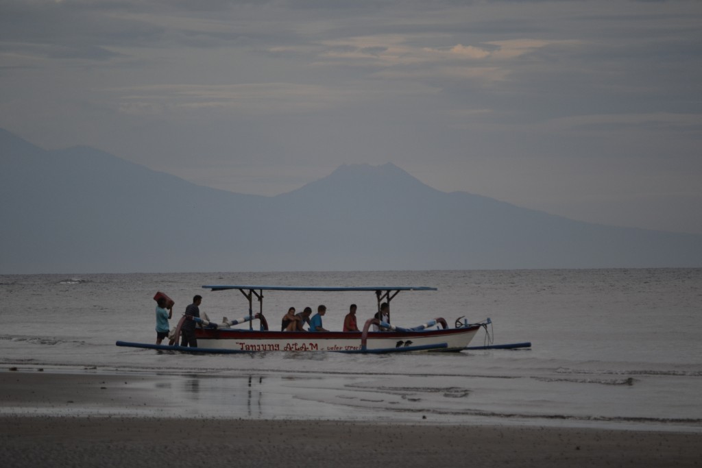
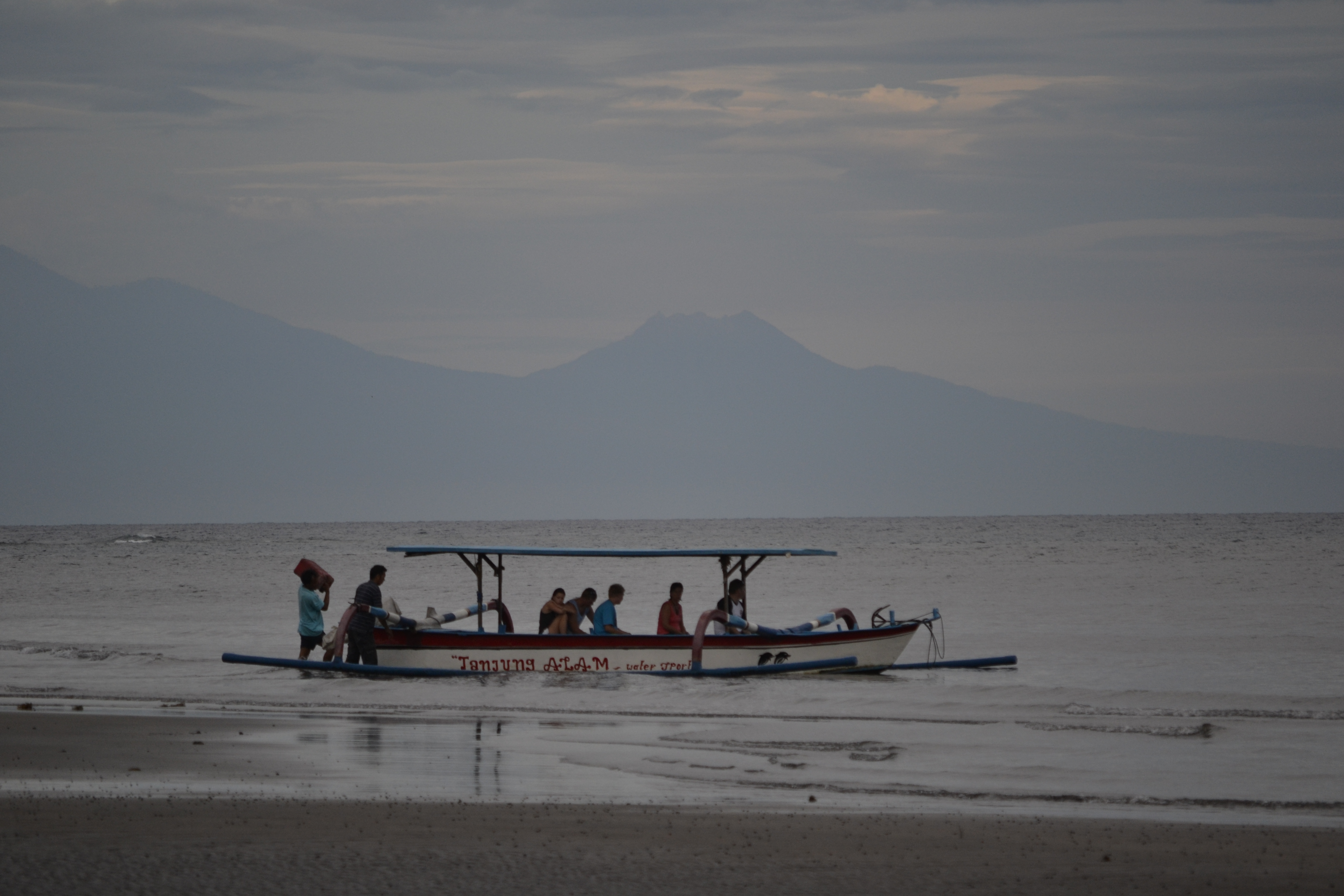
Dolphin Cruise Excursion at Lovina Beach, Bali
On my way back to the hotel, the beach began to liven up with activity. A group of sightseers were stepping into a boat for a dolphin cruise and joggers slipped past the stray dogs.
Lovina is known for its large school of dolphins and early morning cruises are a popular excursion for tourists during season. Watching the boat drift into the horizon, I met the hotel security guard, Ajit, who stopped by to say good morning. Having met him at check in last night, he offered to take me around to the local sites. Since he knows my friend Wayan, I took him up on his offer.
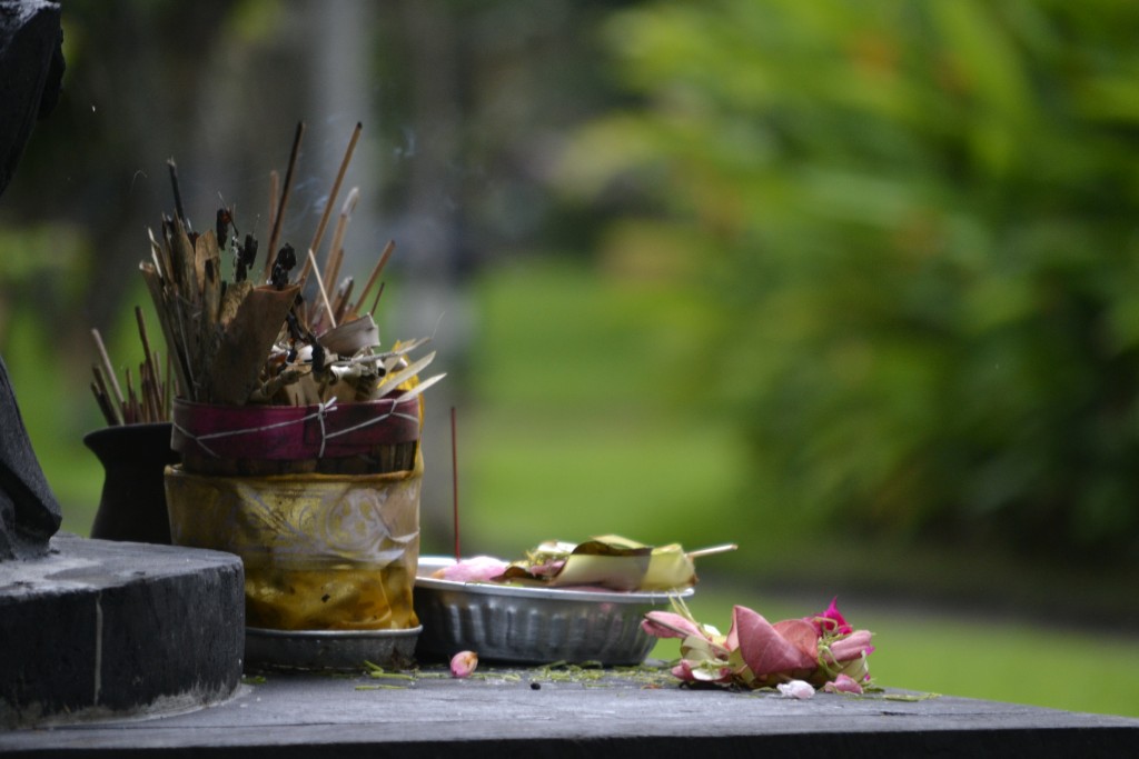
Hindu Offerings, Bali, Indonesia
I strolled back to my room to prepare for the day and noticed several pedestals that contained pieces of fruit, flower petals and burning incense. These are the offerings that the Balinese offer up to their gods throughout the day and are visible on the side of the road, sitting on small roadside shrines or near the large temples throughout the island.
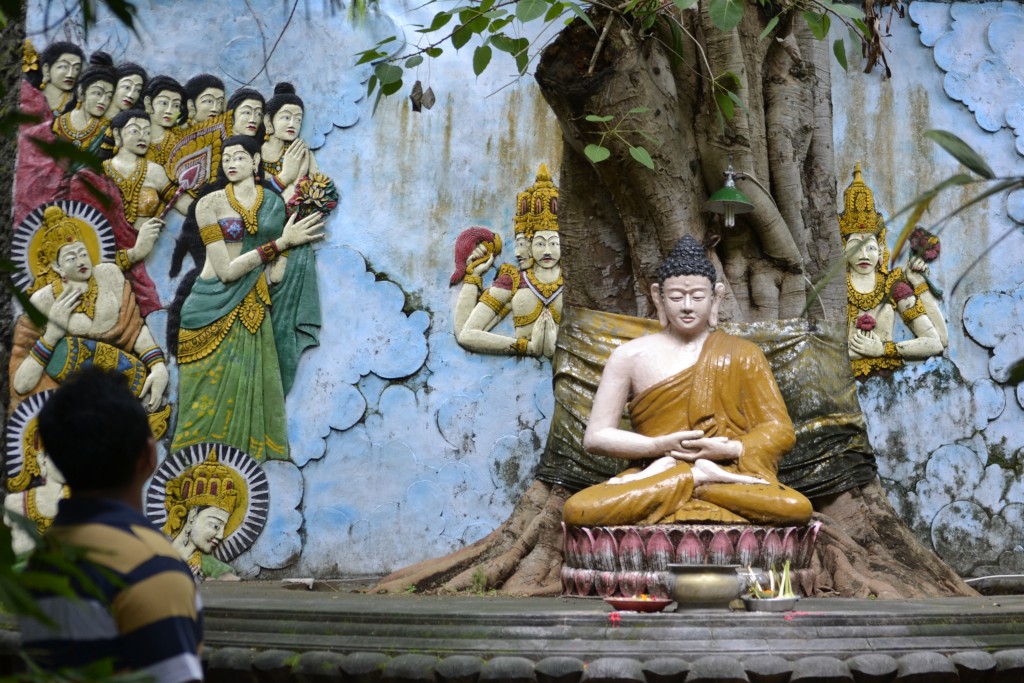
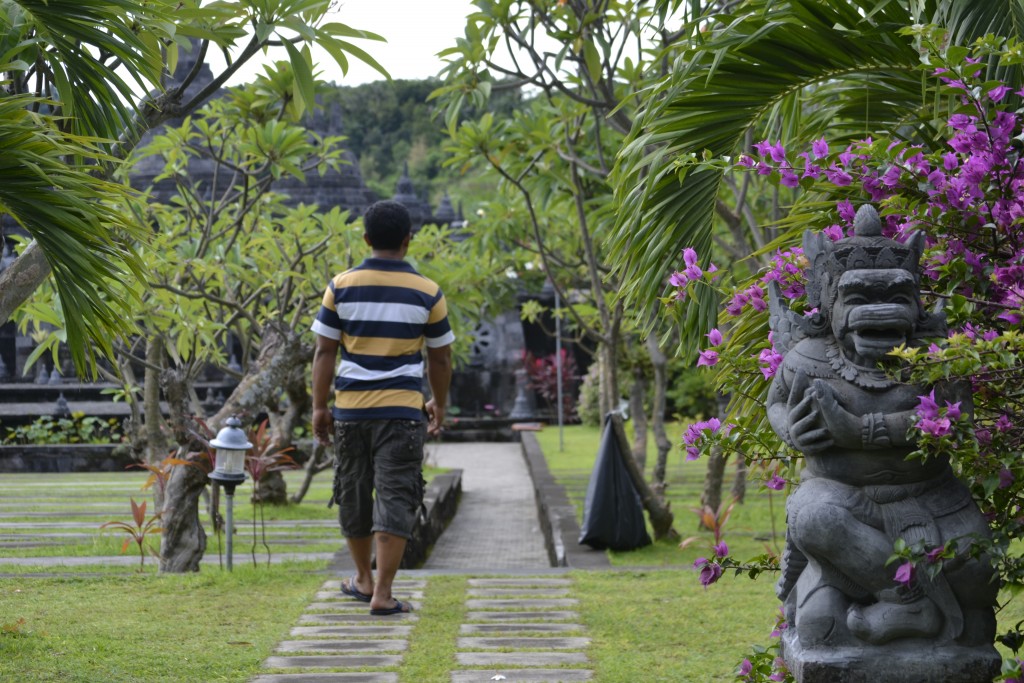
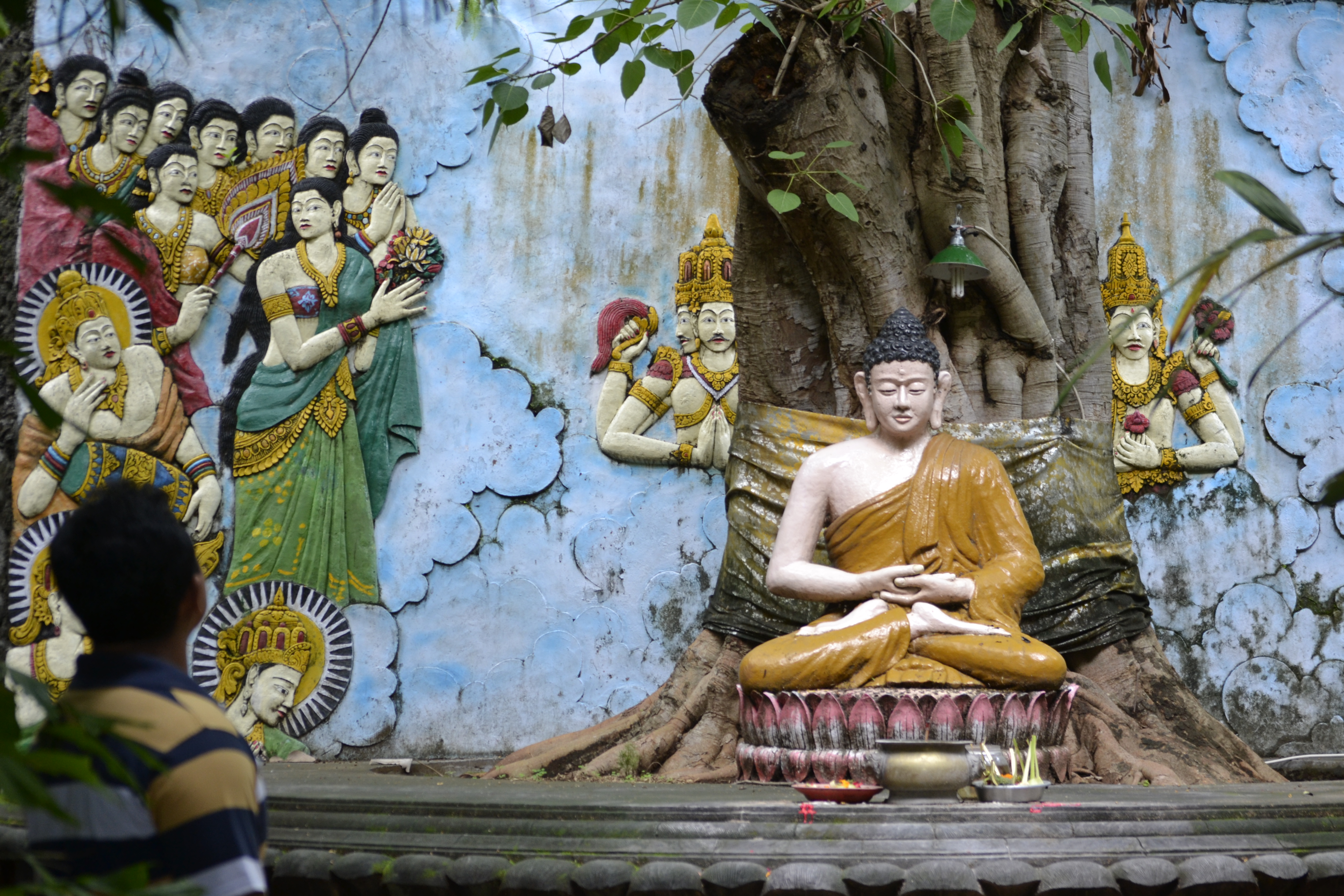
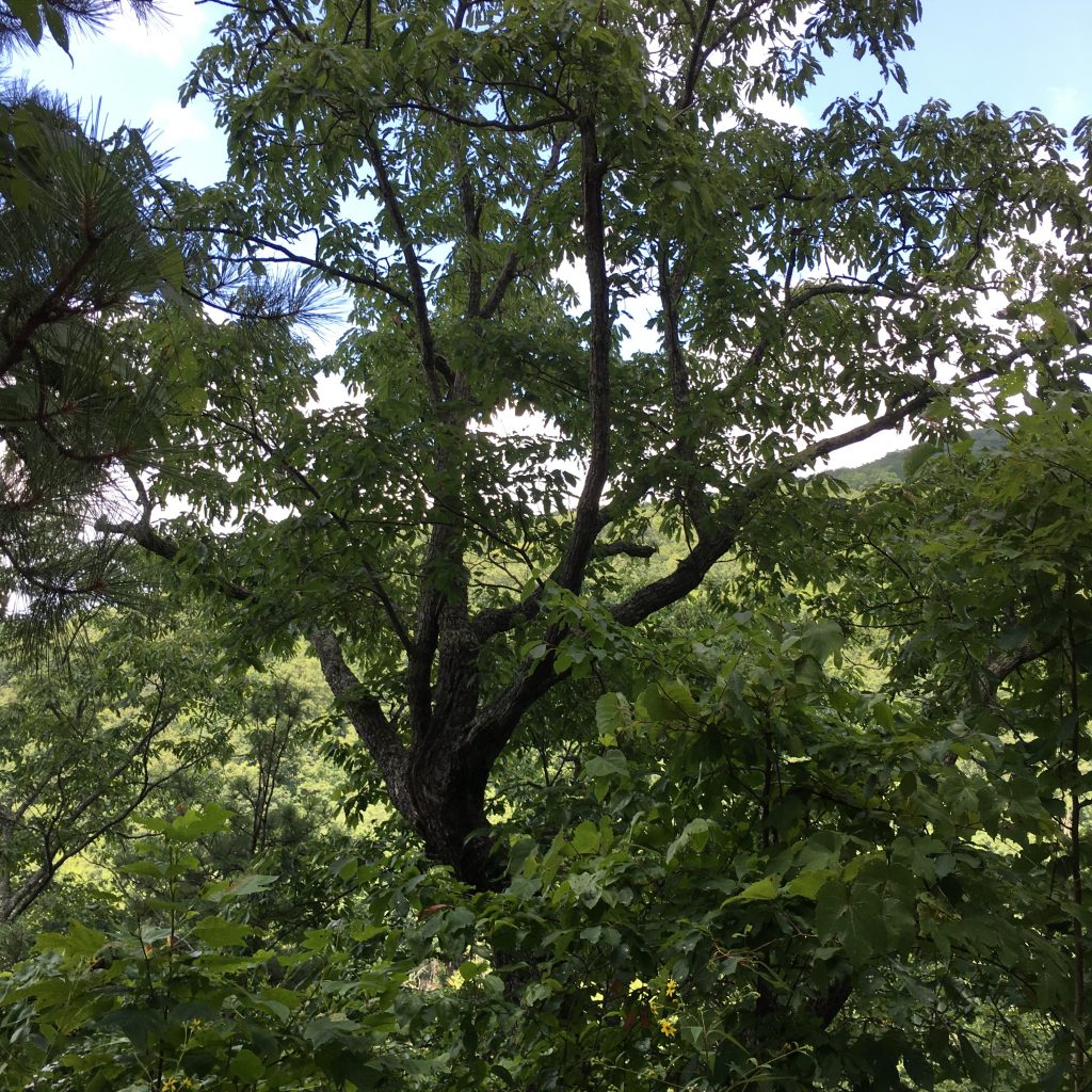
Buddhist Monestary in Northern Bali
Ajit returned on his motorcycle and I told him that I would like to visit the Buddhist Monastery. He also suggested a nearby waterfall and the hot springs, so we had a full day ahead of us.
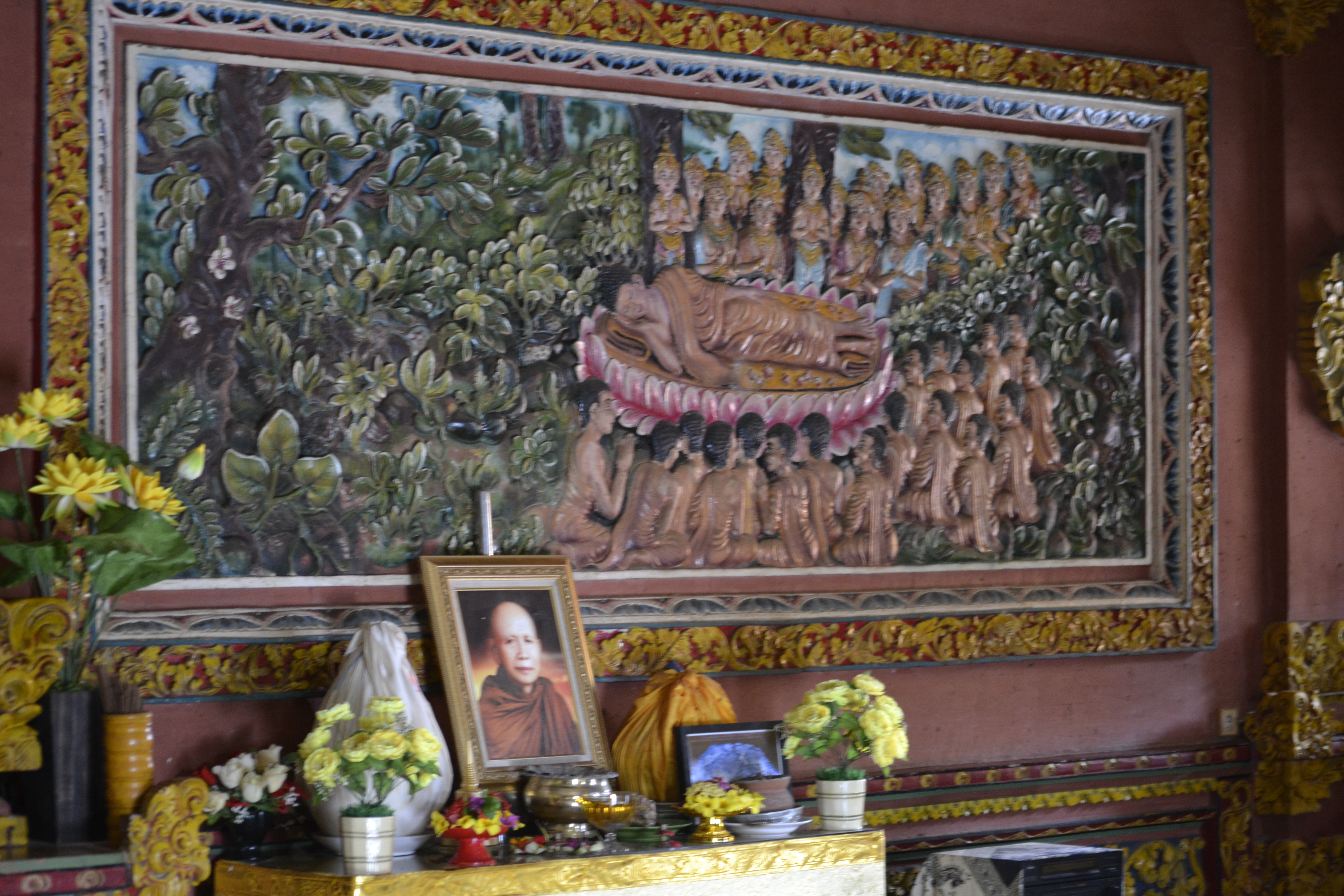
The atmosphere of the monastery is one of reverence and solitude. Although the island is predominantly Hindu, there are two active places of worship for Buddhists in Bali as well.

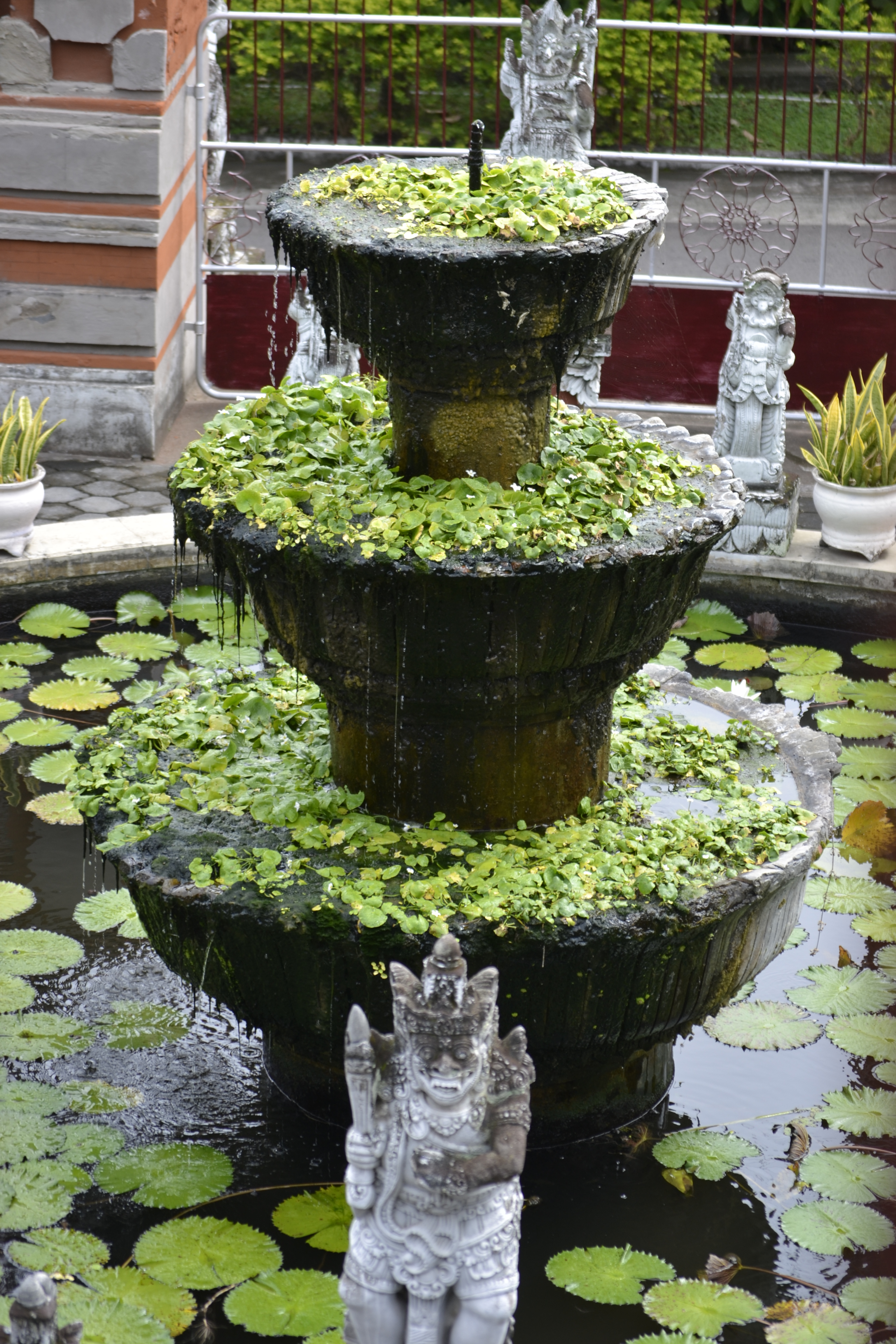
Beautiful Fountains at the Monastery
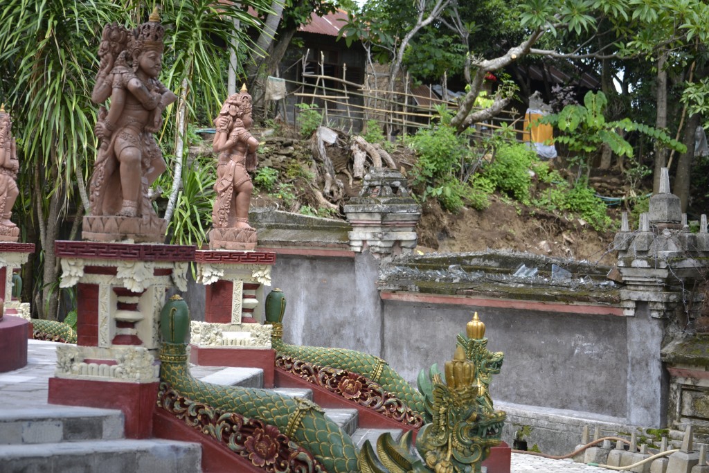
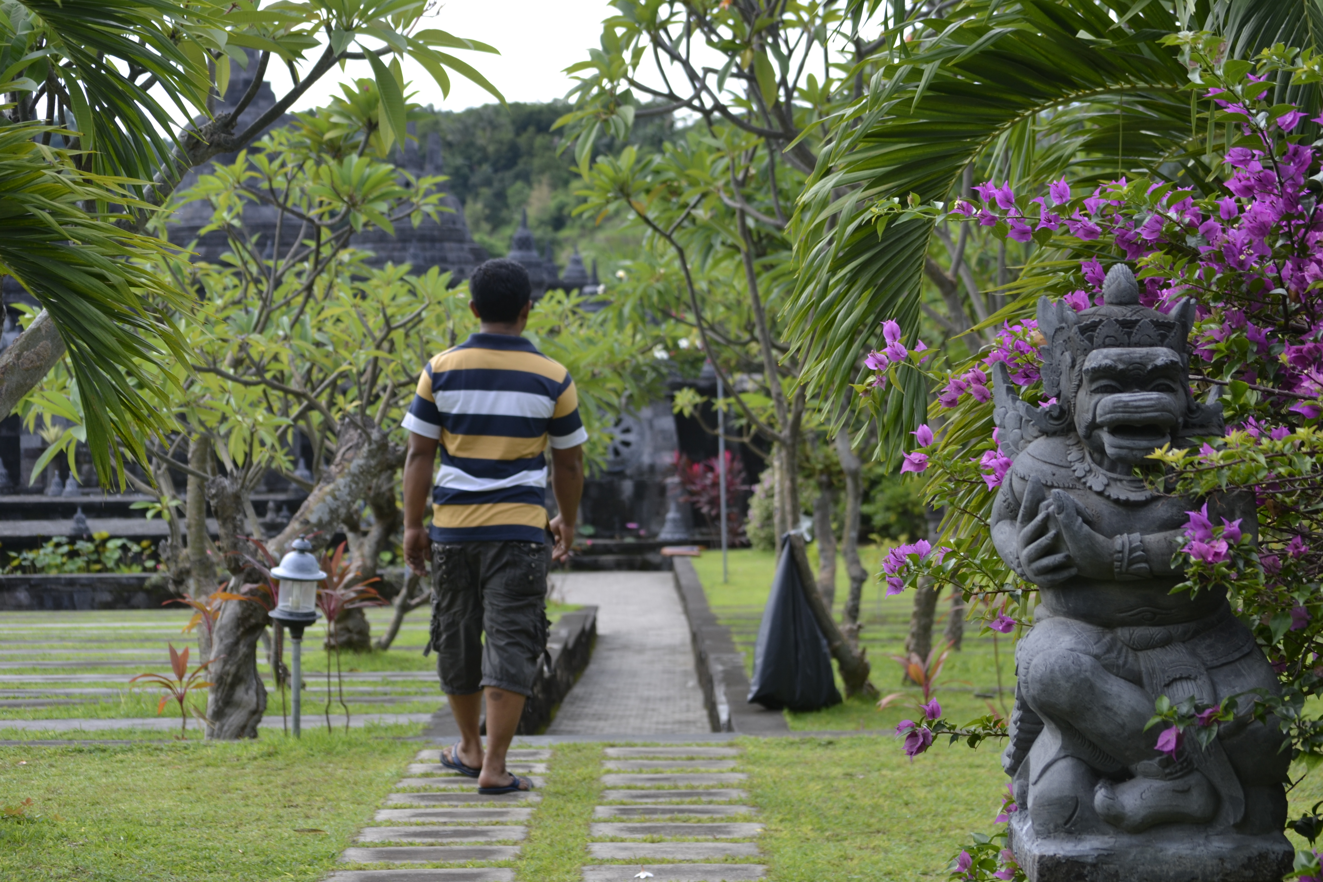
The spectacular views of the coast from the Brahma Vihara Arama Buddhist Monastery went on for miles. The tropical trees met up with the beaches of Lovina for a beautiful backdrop. The paintings and sculptures within the monastery were unusually lifelike and three dimensional.
Lily ponds and fountains gave the monastery a religious sense of calm. Protecting their surroundings, the monkey gods took a stand to ward off evil spirits. The soothing sound of water and gentle rustle of leaves from the wind were comforting as I searched for koi fish under the lily pads.
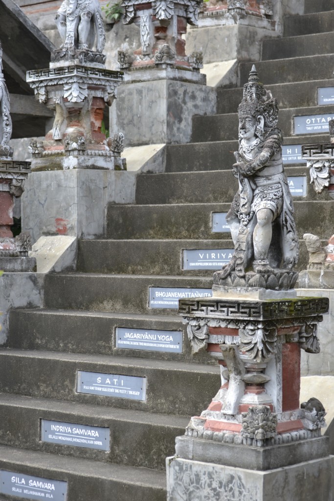
The Buddhist Eightfold Path of Enlightenment
The Eight-Fold Path is the final teaching of the Buddhist Four Noble Truths. A stairway at the monastery representing the steps of these teachings are said to lead to spiritual enlightenment and the end of suffering.
The Brahma Vihara Arama Buddhist Monastery is an exceptionally well maintained temple and open to the public as a place of worship. The grounds are exquisitely manicured and the views out towards the sea from atop of the temple are magnificent. Signs throughout the property strongly communicate that this is not a tourist attraction but rather a temple and should be treated with reverence and respect. Proper attire is required and courtesy must be given to those who visit.
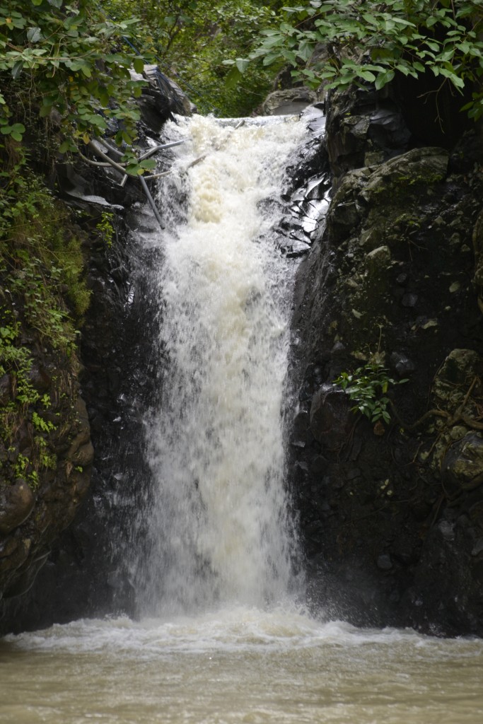
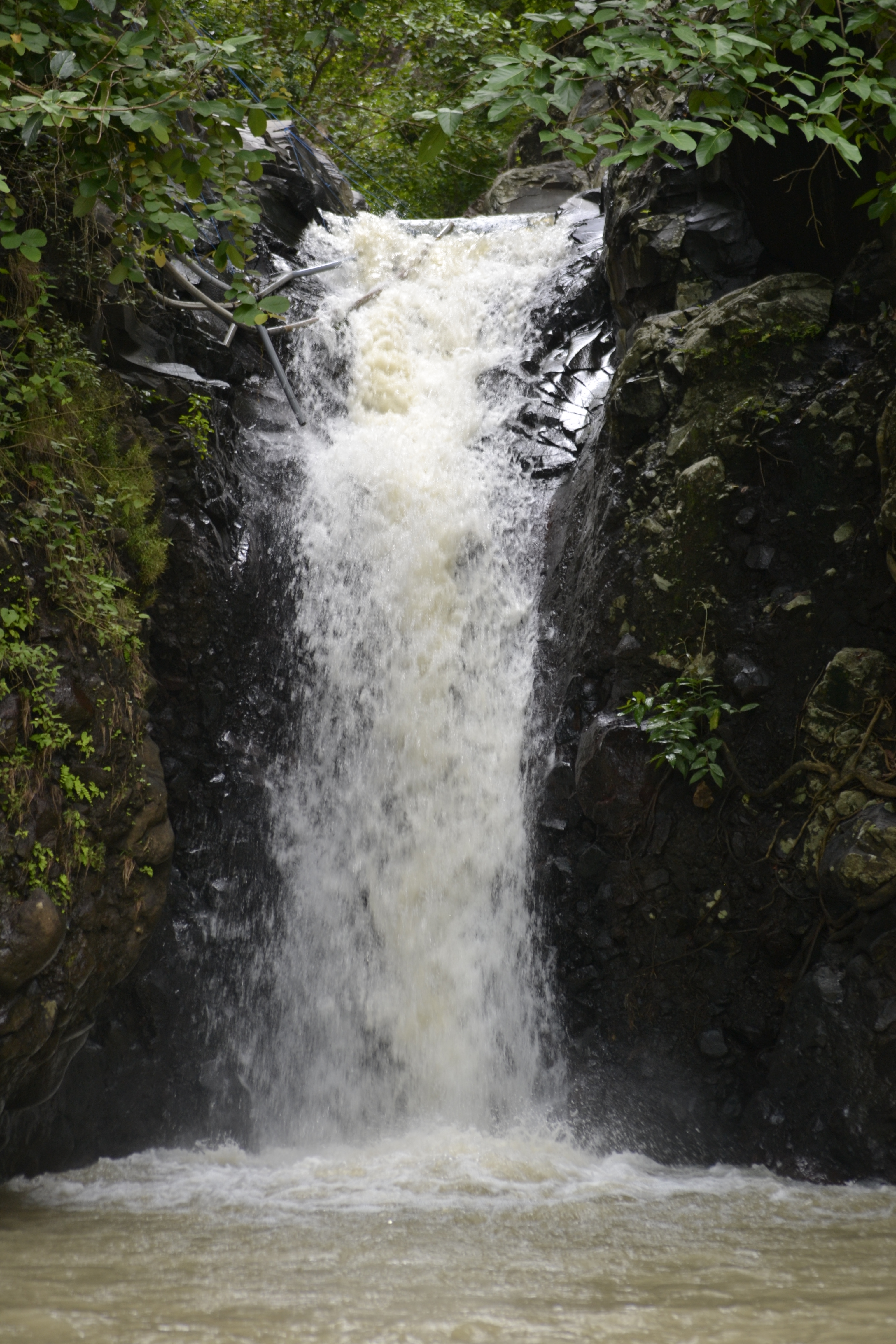
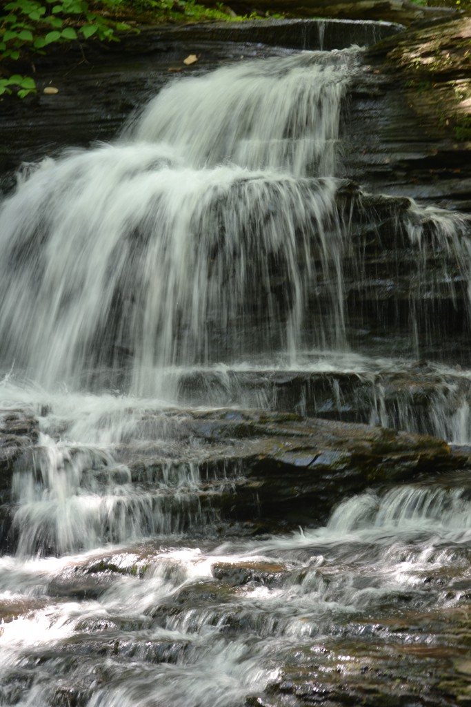
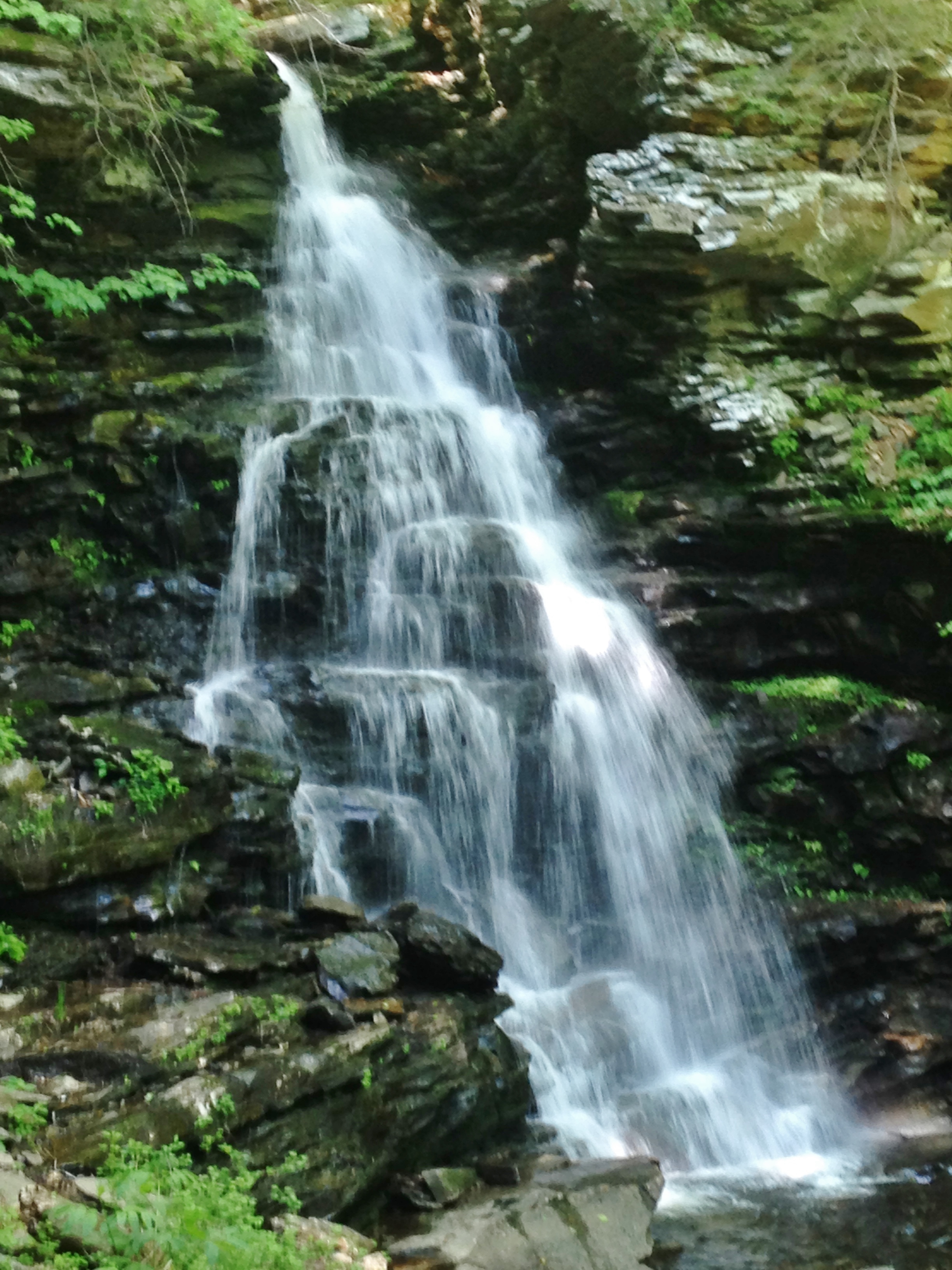
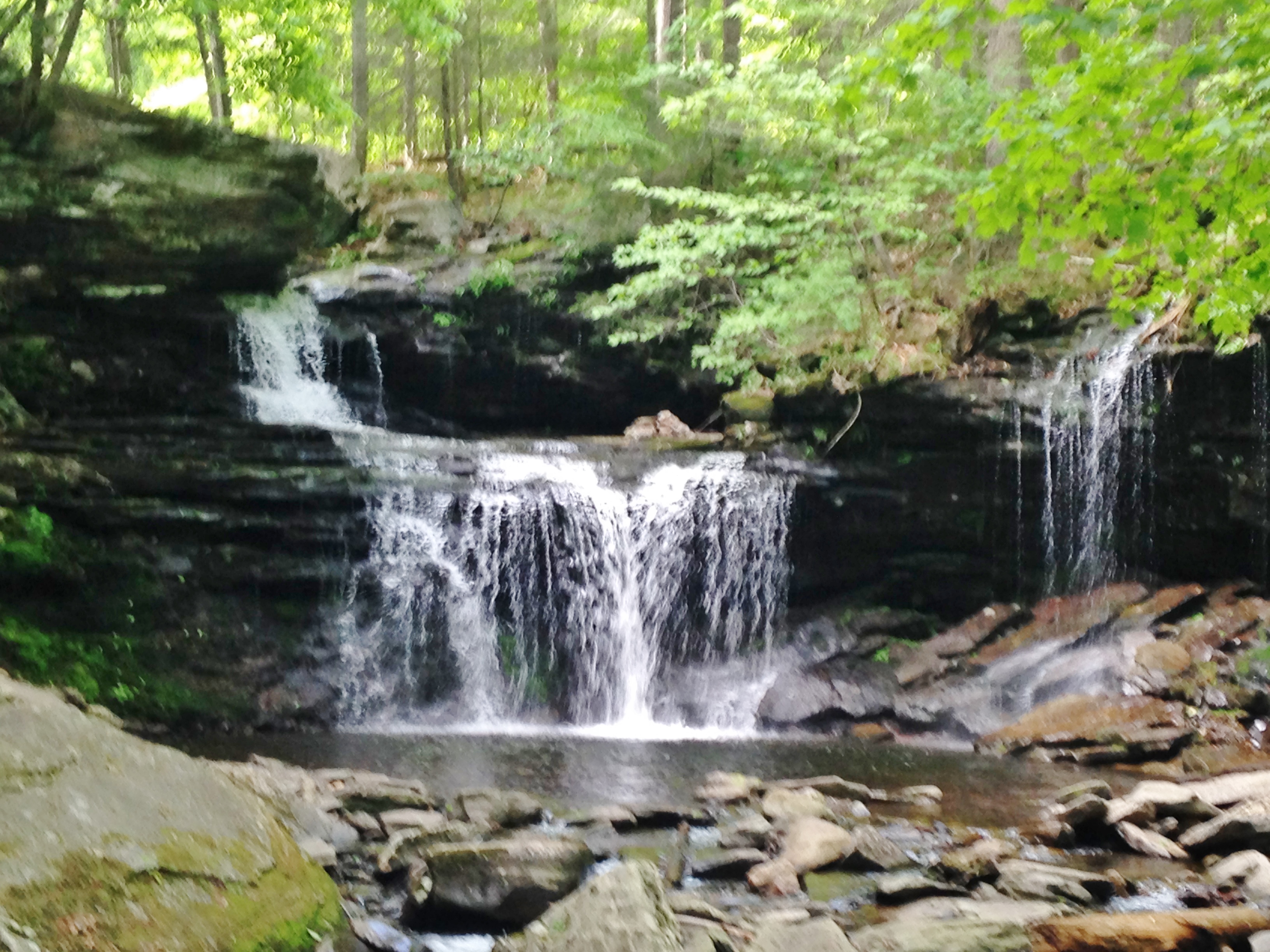
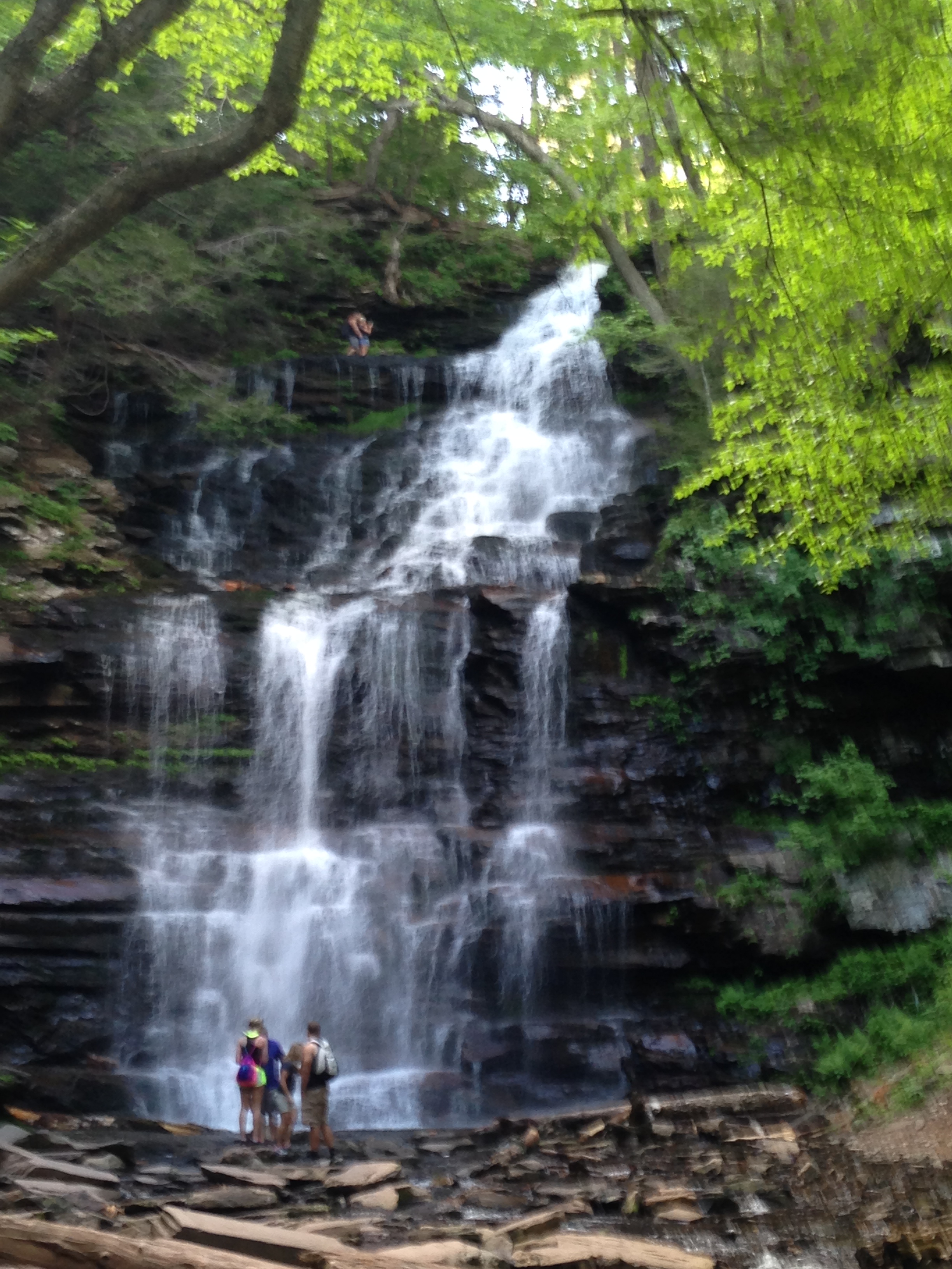
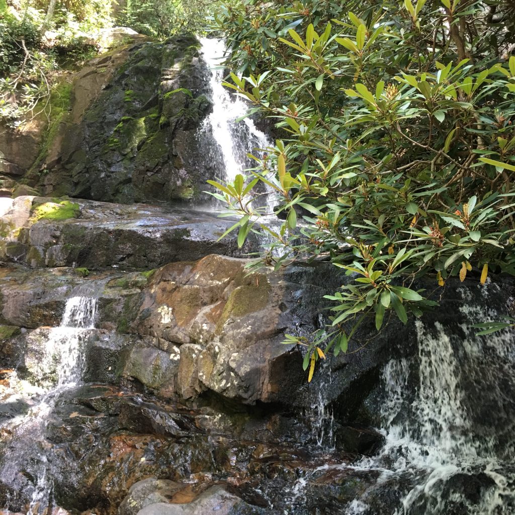
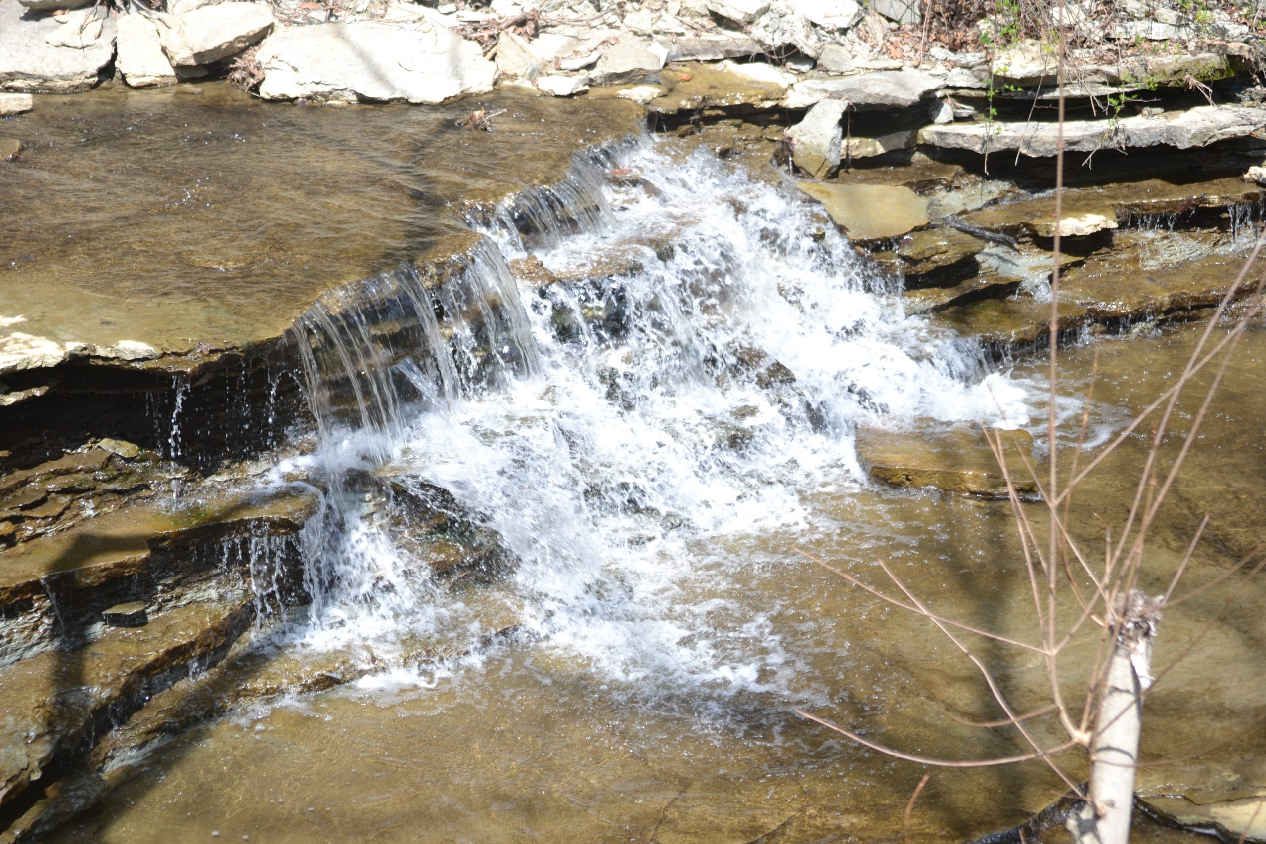
Northern Bali Waterfall
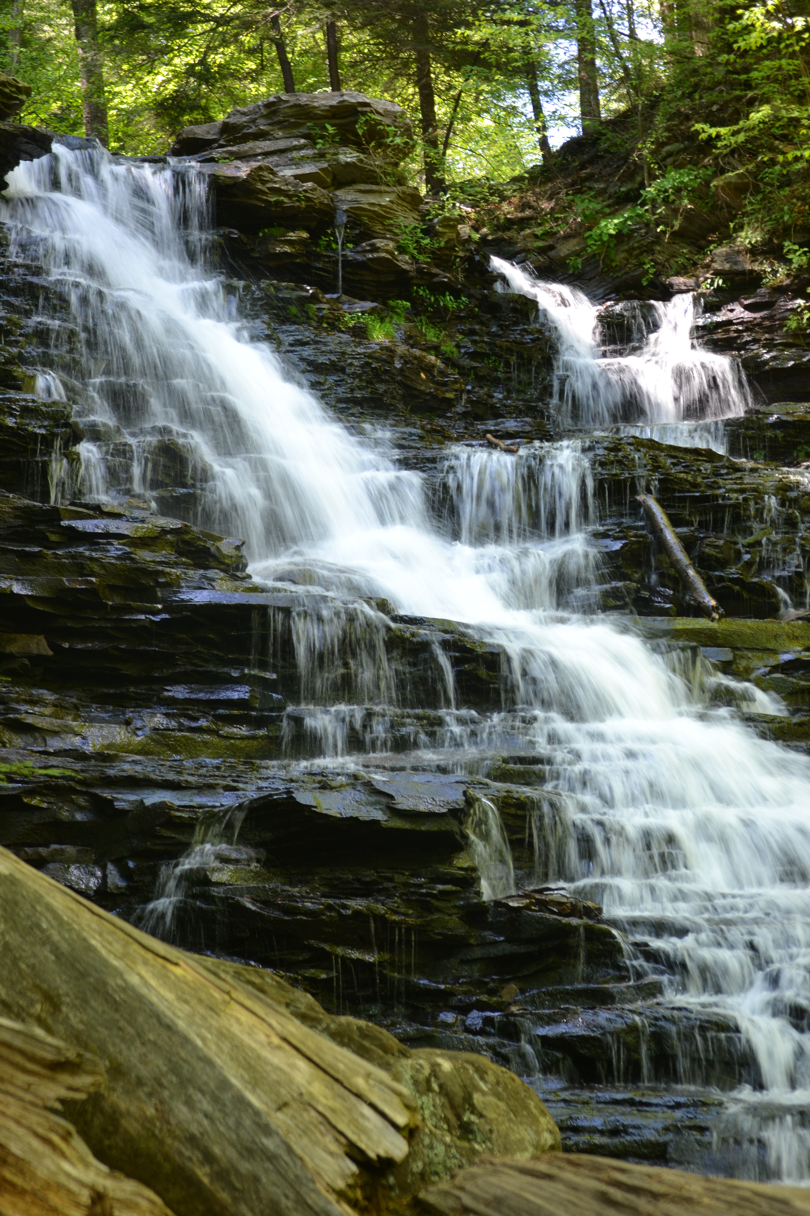
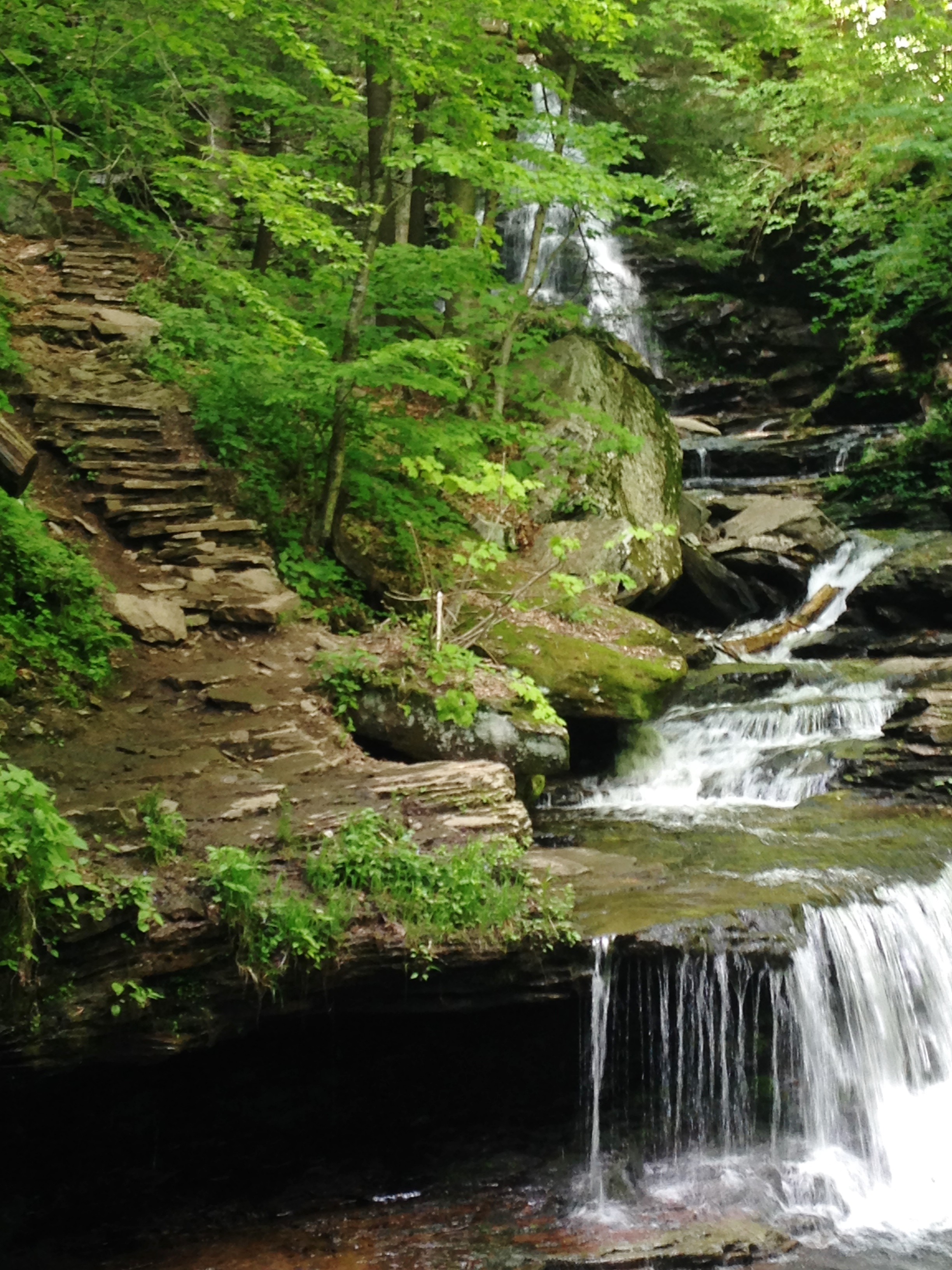
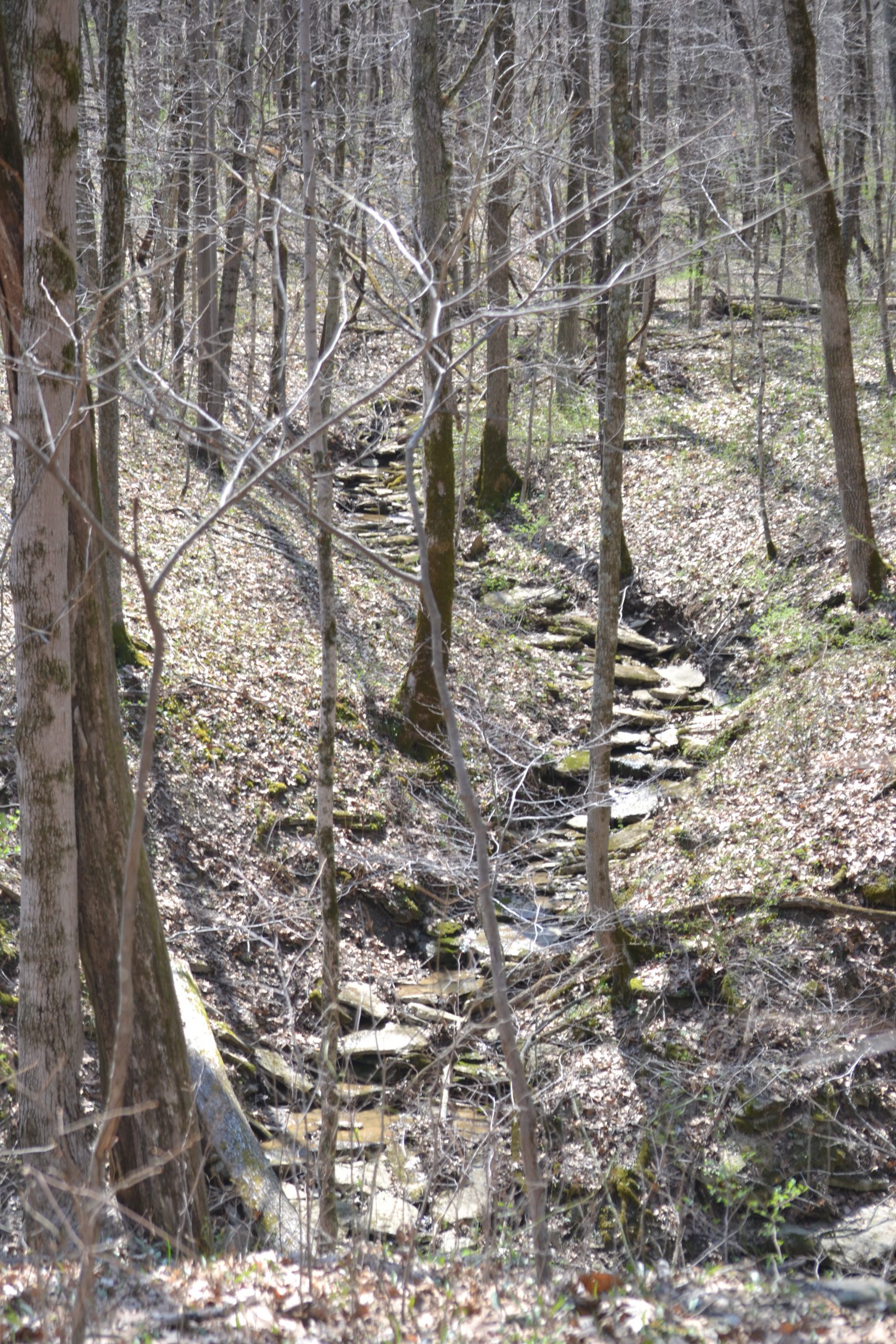
Enjoying a peaceful morning at the temple, I was ready for our next excursion, a hike to one of north Bali’s most treacherous waterfalls. Ajit explained that the falls is a local favorite and is not open to tourists. He guaranteed that this hike would be a challenge but the view would be well worth the trek.
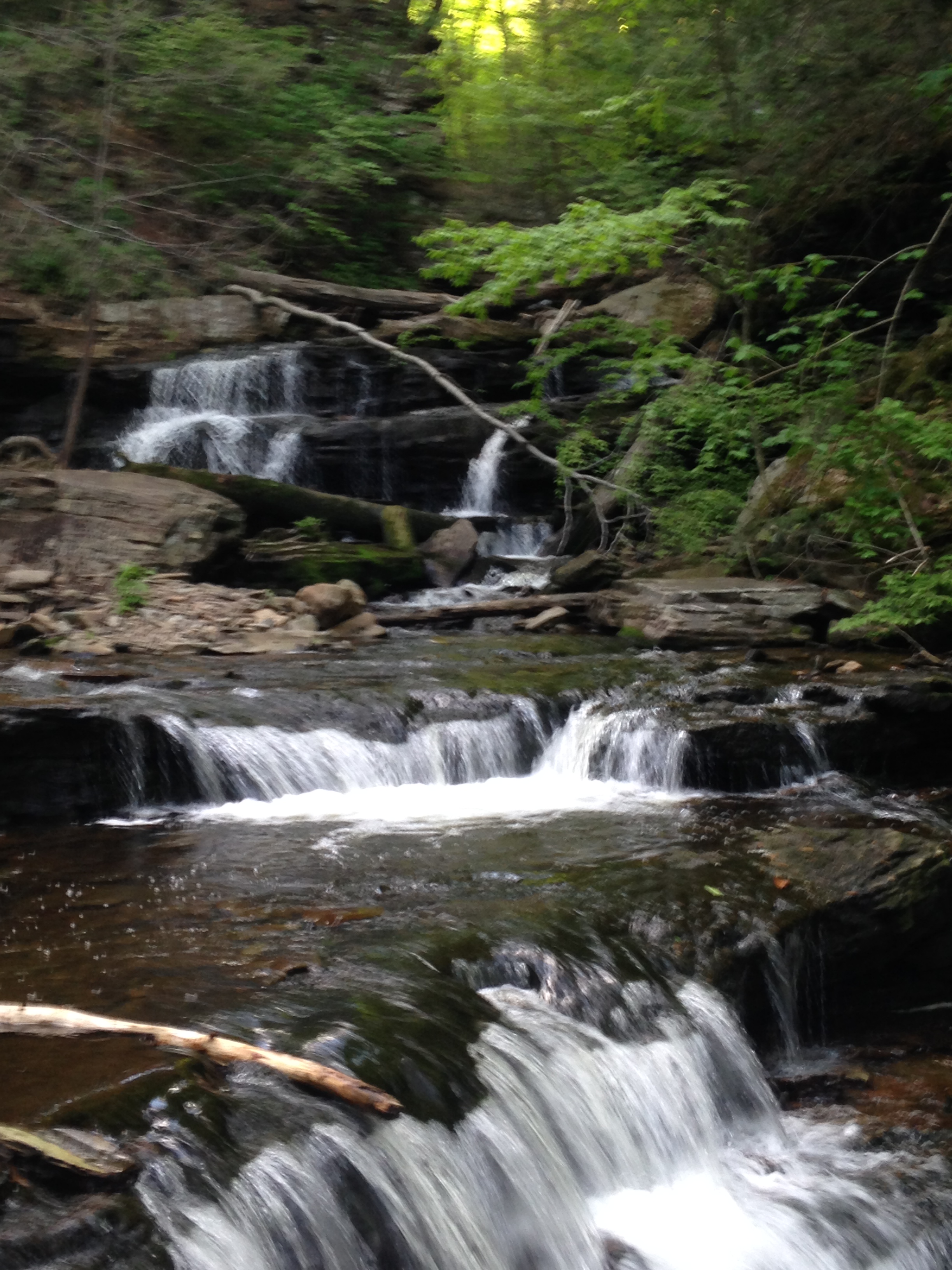
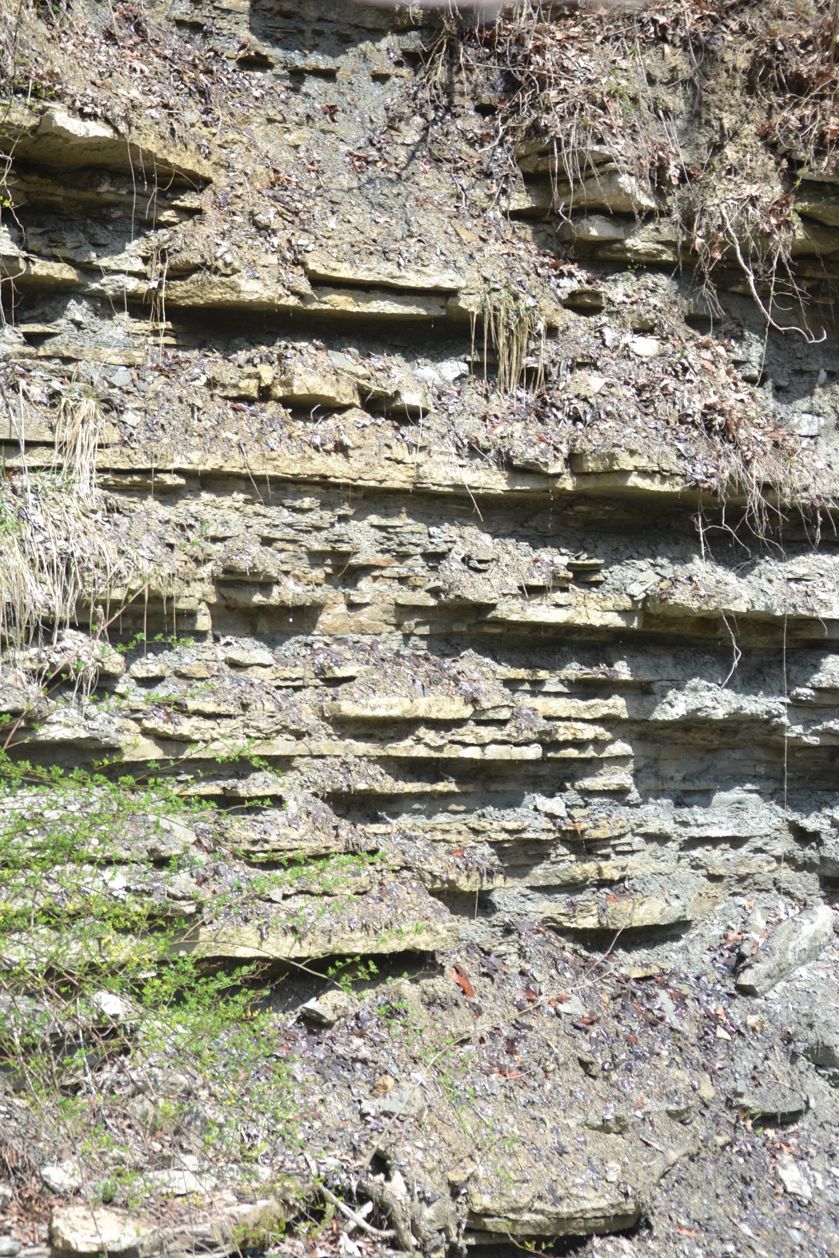
The concrete path was manageable at the start but became narrow as we closed in on the falls. The course quickly changed as the mist produced a muddy trail we were cautiously trying to avoid. Eventually the pathway disappeared and we resorted to rock hopping amidst the rushing water between the stones.

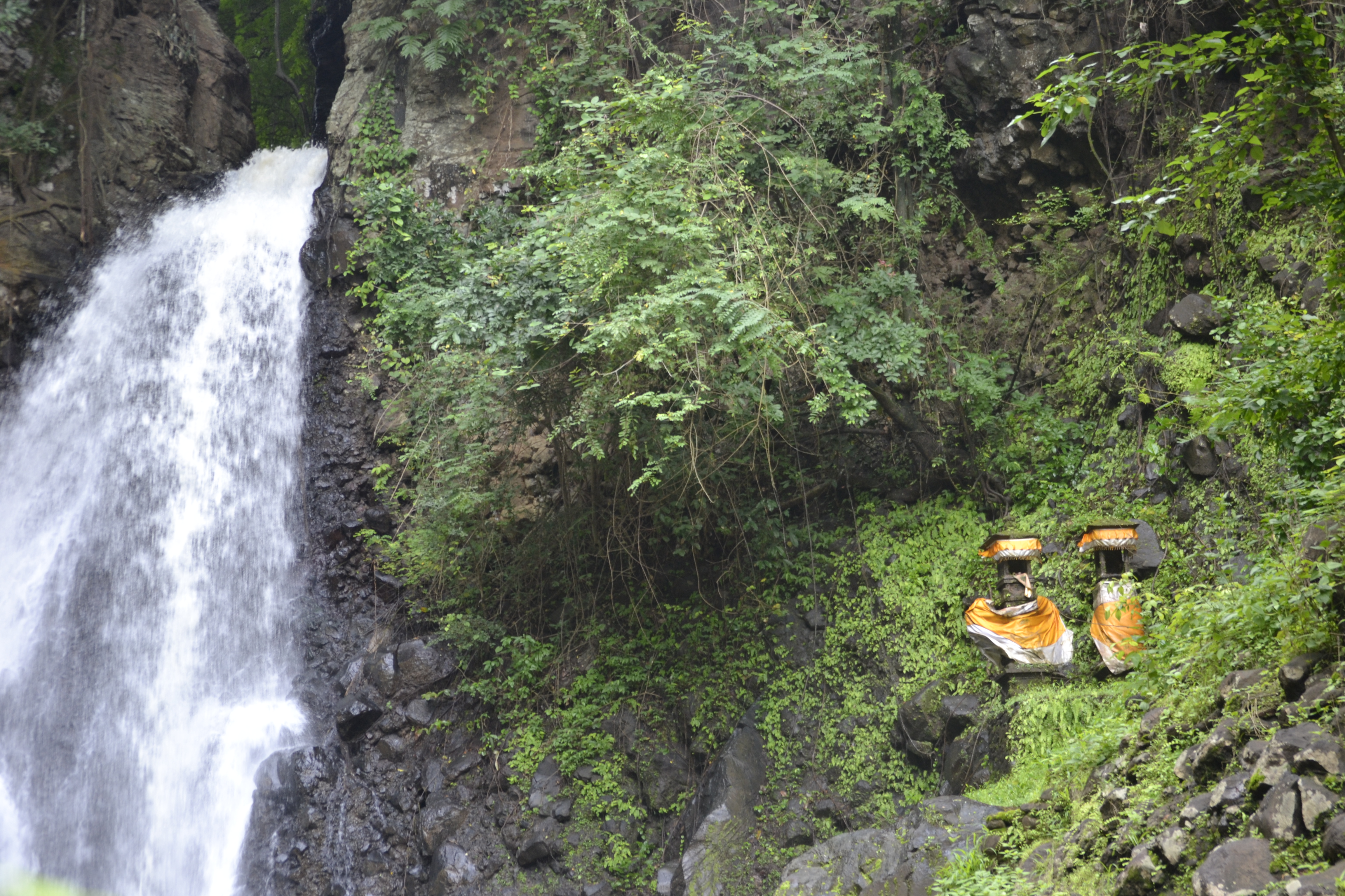
I was close to giving up and turning back when I noticed the shrines appear on the side of the hill. The water coming from the cascades was so strong and powerful that I was frightened I may lose my footing.
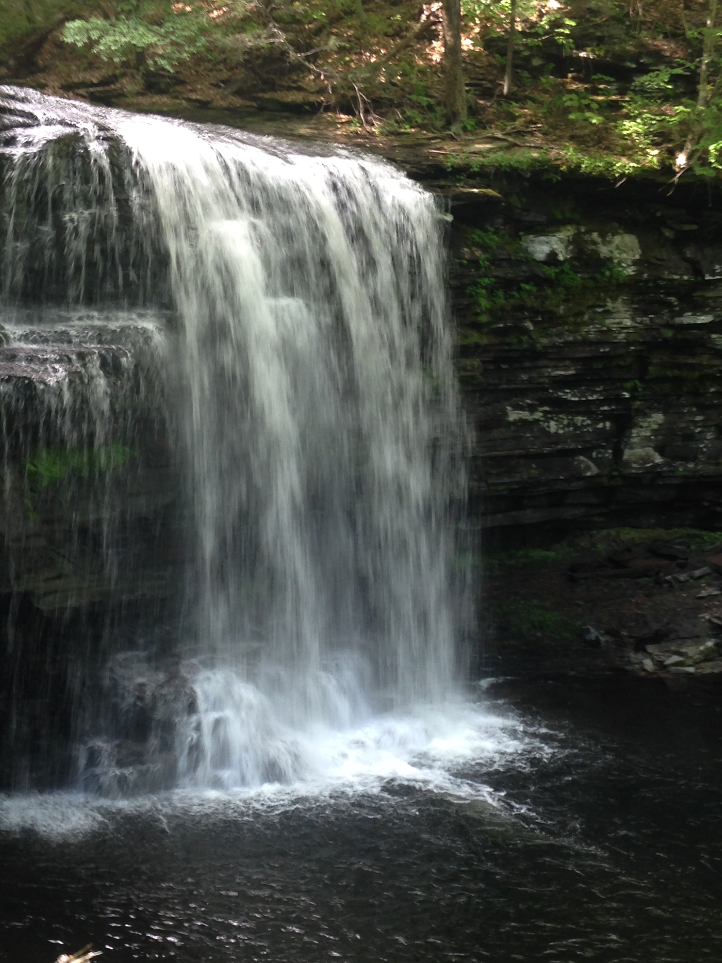
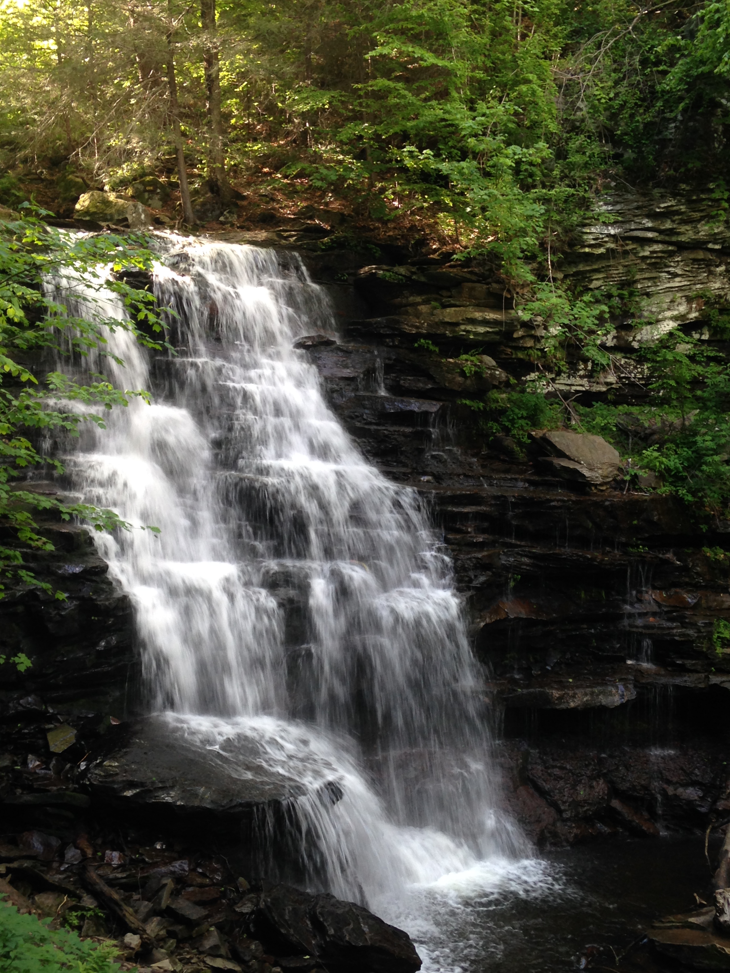
We sat for a few moments on a couple of large rocks so I could catch my breath. The mist from the falls felt so cool on my face, dampening my hair and clothes. I decided that I was ready to take a few more steps and as I rounded the corner, I was able to see the highlight of my hike, the larger of the two falls.
I wished I could have enjoyed the view for a while longer, but working to keep myself upright was draining my energy and I was ready to find security back on dry land. The hike back was not as difficult and it seemed as though we reached the entrance in half of the time it took to reach the falls.
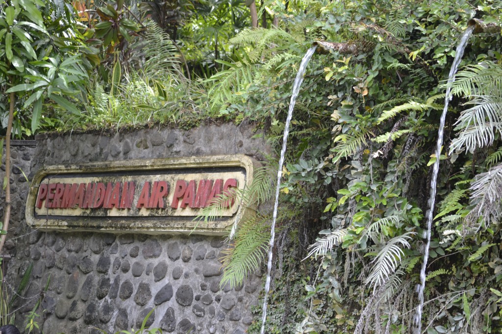
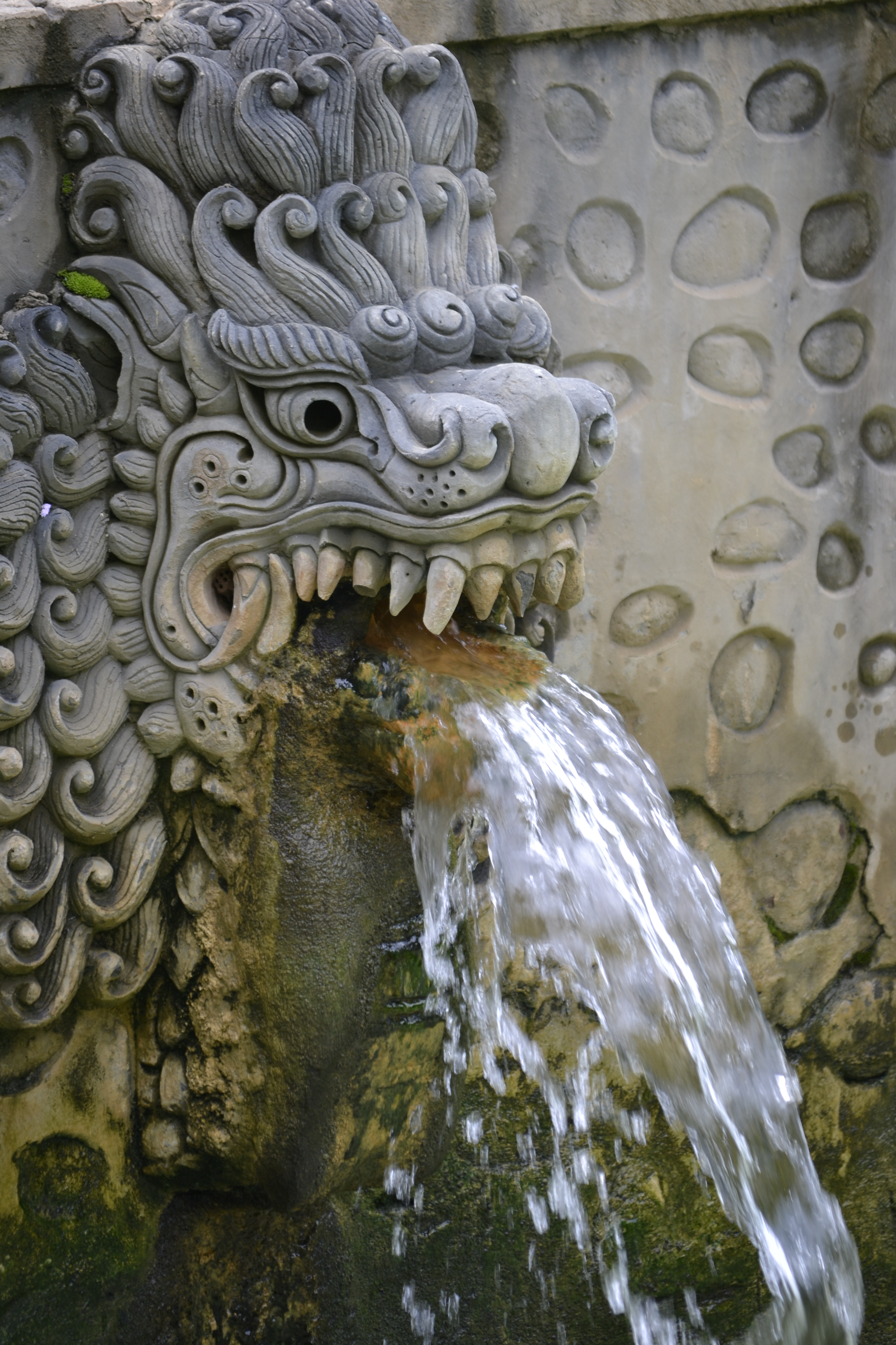
Visiting the hot springs could not have been more appropriate after a long hike. Set among the hillside there are three pools of water to enjoy a moment of rest and relaxation. The first pool at the top is the hottest while the bottom is the coolest of the three. I was looking forward to soaking in the springs.

Air Panas was built by the Japanese hundreds of years ago and is said to be therapeutic for those suffering from rheumatic disease. A steady rush of water from the mouths of mythical creatures adds to the fascinating environment of the springs.
I enjoyed the resort for a couple of hours and visited the snack bar before leaving for the hotel.
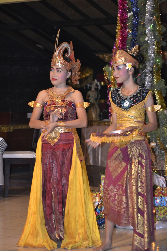
The Aditya Hotel was hosting an event that consisted of a four course meal and a program which included two young girls performing the Balinese dance of Legong. Known as one of the most popular forms of Indonesian entertainment, the dance consists of intense facial expression, body movements, and intricate finger work accompanied by Gamelan music.
The unique music and vibrant performance were entrancing. Although I was exhausted, I felt satisfied that I had accomplished so much physically, religiously and culturally in one day. I reflected back from the start of my journey and could not have been more pleased. I am ready to do it all over again tomorrow!
Have you visited northern Bali in your travels? I would love to hear about your experience if you would kindly leave a message in the comments section below! Many thanks for reading about my fun day in northern Bali! Happy Travels!
What to See and What to Do:
Brahma Vihara Arama Buddhist Monastery
Banjar Tegeha Buleleng Buleleng
Lovina Beach, North Bali, Indonesia
Banjar Air Panas – Hot Springs
Jalan Banjar, Buleleng,
Singaraja, Bali, Indonesia
Where to Stay:
Aditya Beach Resort
Jalan Raya Lovina, Lovina Beach, North Bali, Indonesia
Phone: +62 362 41059
Email: info@adityalovinabali.com
Where to Eat:
Banjar Air Panas – Snack Shop
Jalan Banjar, Buleleng,
Singaraja, Bali, Indonesia
Aditya Beach Resort – Restaurant
Jalan Raya Lovina, Lovina Beach, North Bali, Indonesia
Phone: +62 362 41059
Email: info@adityalovinabali.com
What to Eat:
- Babi Guling: Suckling pig, which is similar to BBQ pork in the US.
- Bakso Soup: Indonesian soup made with meatballs, noodles, spices, vegetables and broth
- Gado-Gado: A cold salad of vegetables served with a peanut sauce
- Nasi Goreng: Fried noodles with lots of vegetables and a choice of meat, topped with peanuts and an egg.
- Pisang Goreng: Fried Bananas, served with palm sugar, honey, flaked coconut or ice cream
- Sate Ayam: Chicken on a stick usually served with a peanut sauce
- Spring Rolls: Crispy pastry filled with minced meat and mixed vegetables and then fried, usually served with a chili sauce
What to Read:
- Balilicious, by Becky Wicks
- Eat, Pray, Love, by Elizabeth Gilbert
- A House in Bali, by Colin McPhee
- Love and Death in Bali, by Vicky Baum
- Snowing in Bali, by Kathryn Bonella
- Under the Volcano: A story of Bali, by Cameron Forbes
Photo Guide for North Bali:
- Git Git Waterfall
- Mount Batur
- Sekumpal Waterfalls
- Tamblingan Lake
- Twin Lakes Viewpoint

A photo of the Dalai Lama that was given to the monastery during his visit
Exploring the beautiful grounds of the monastery
Buddhist Statues

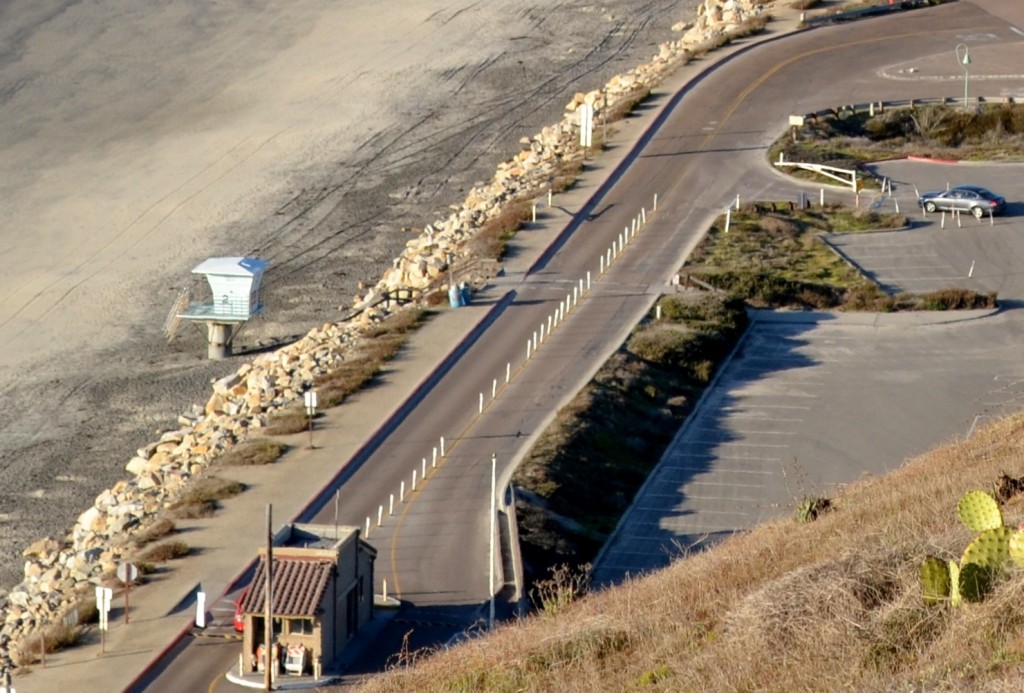
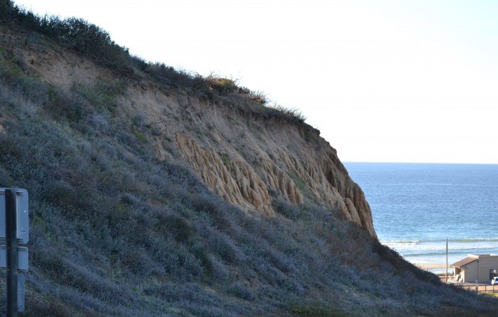
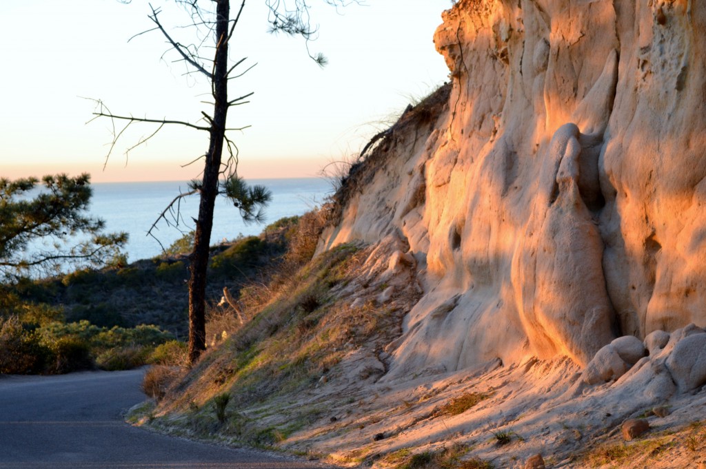
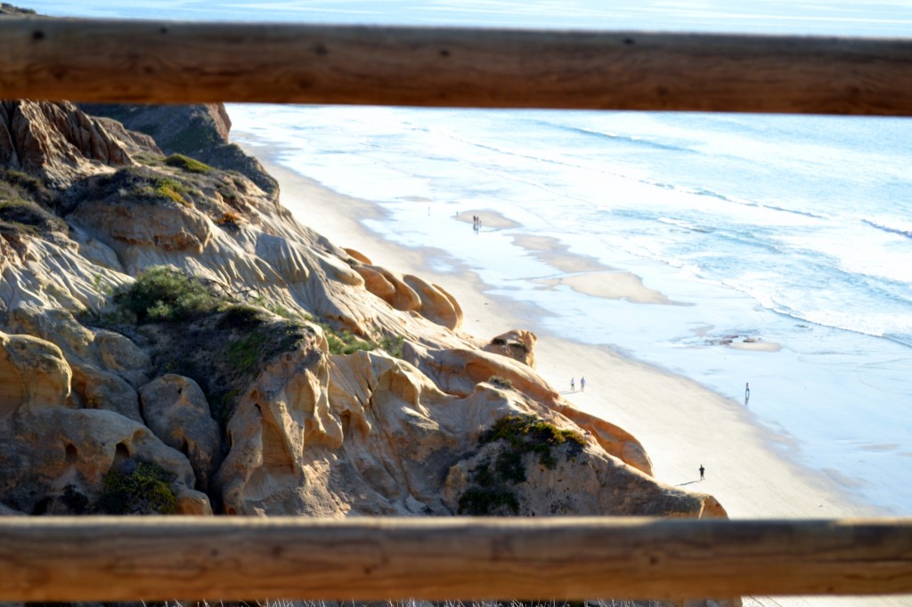
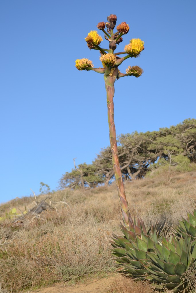


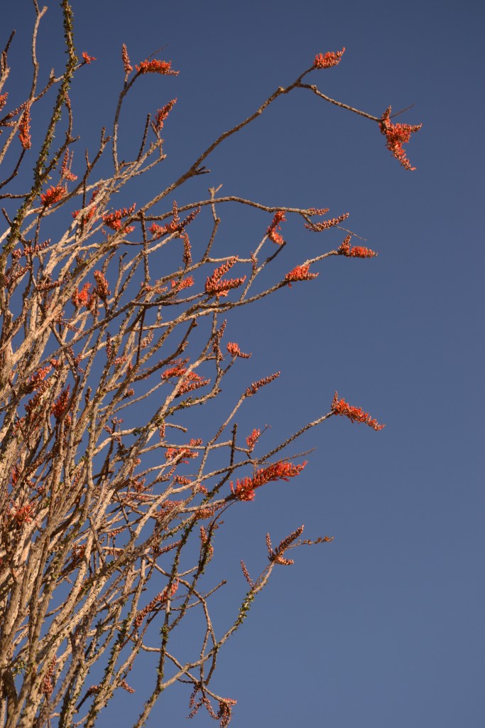
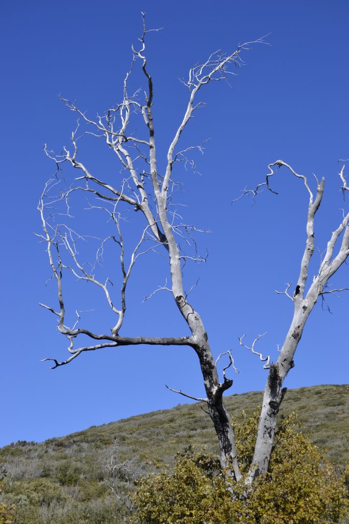
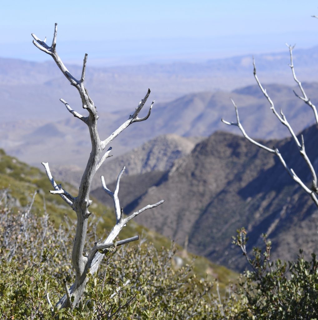
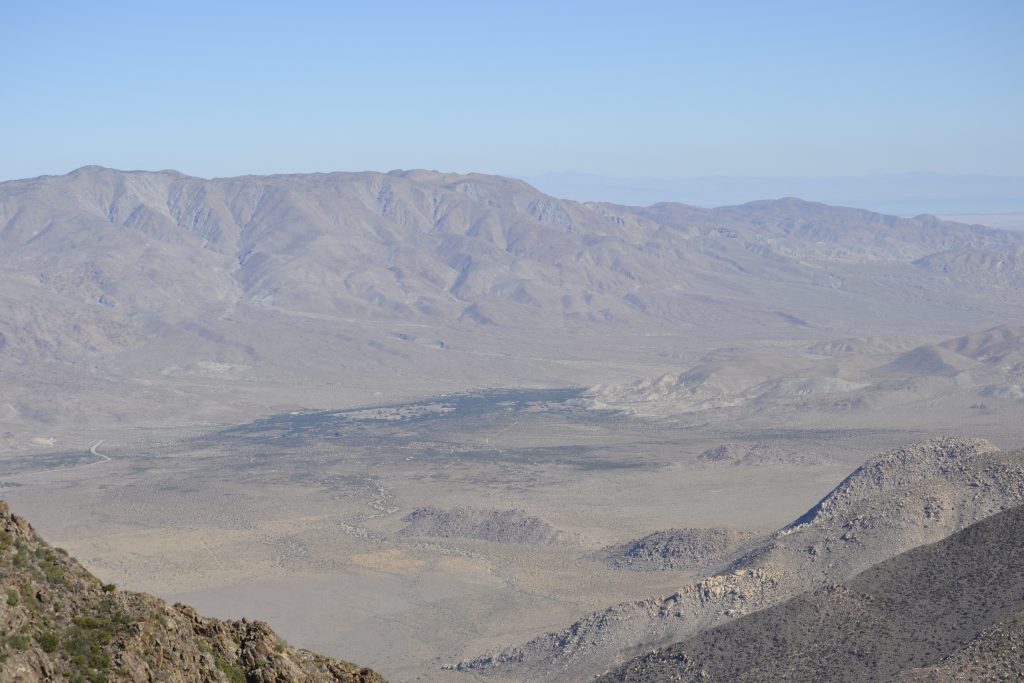
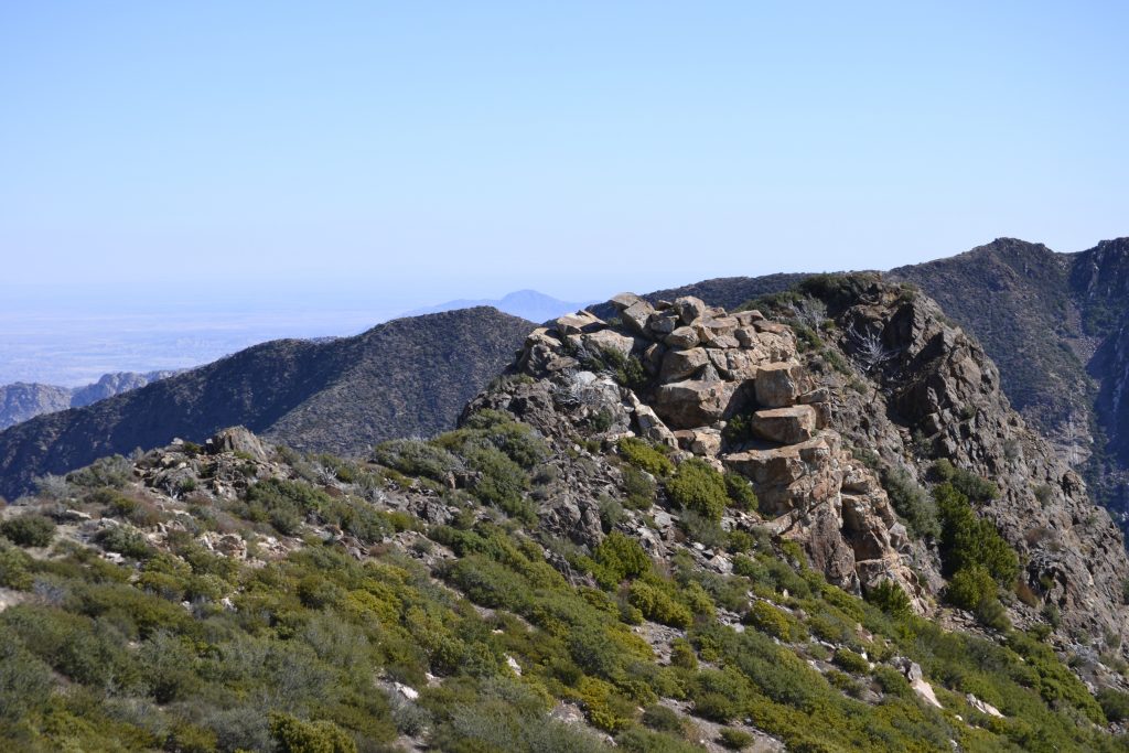
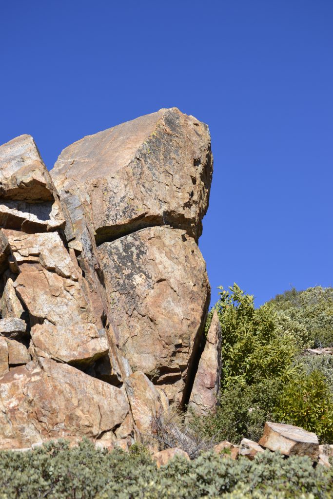
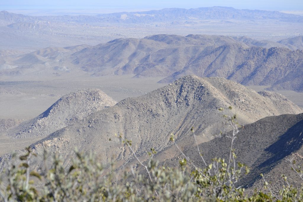
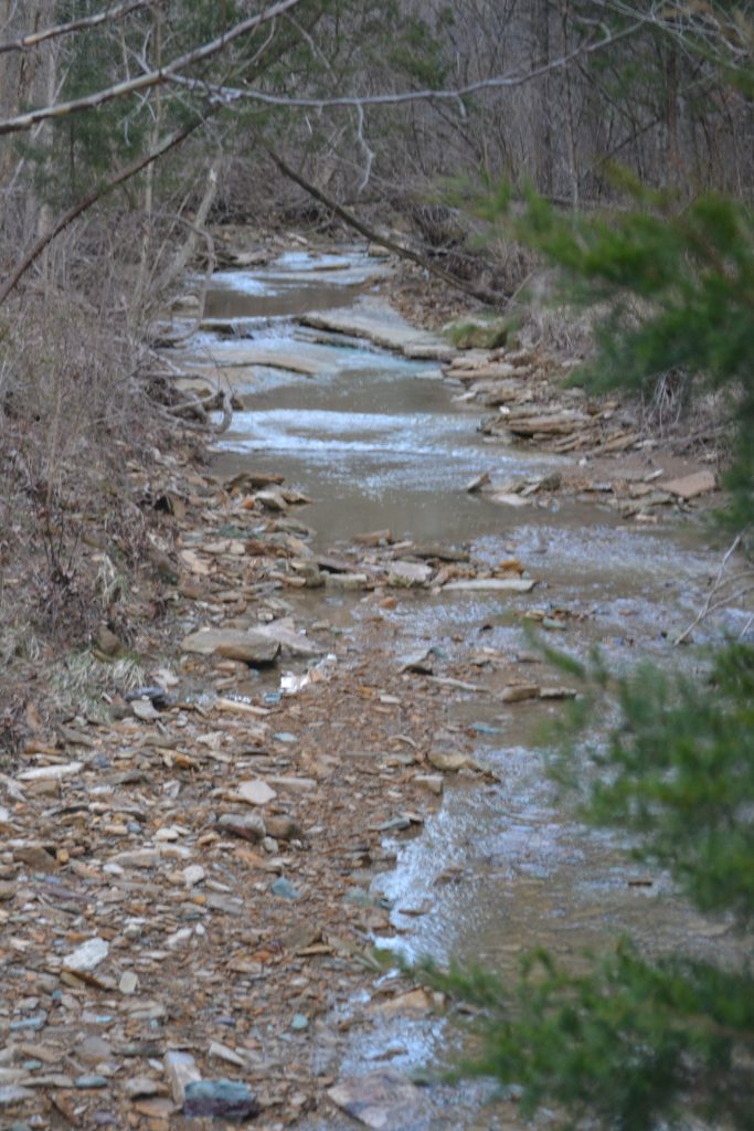
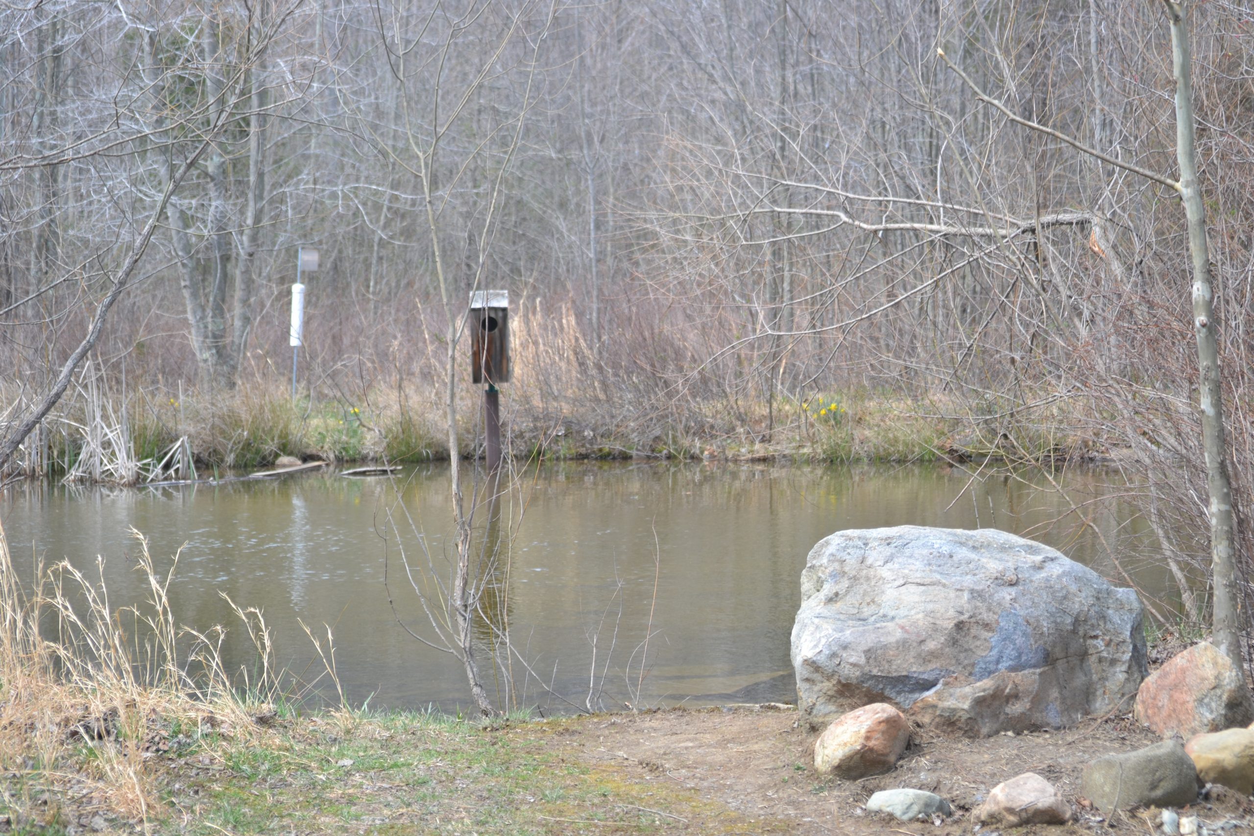
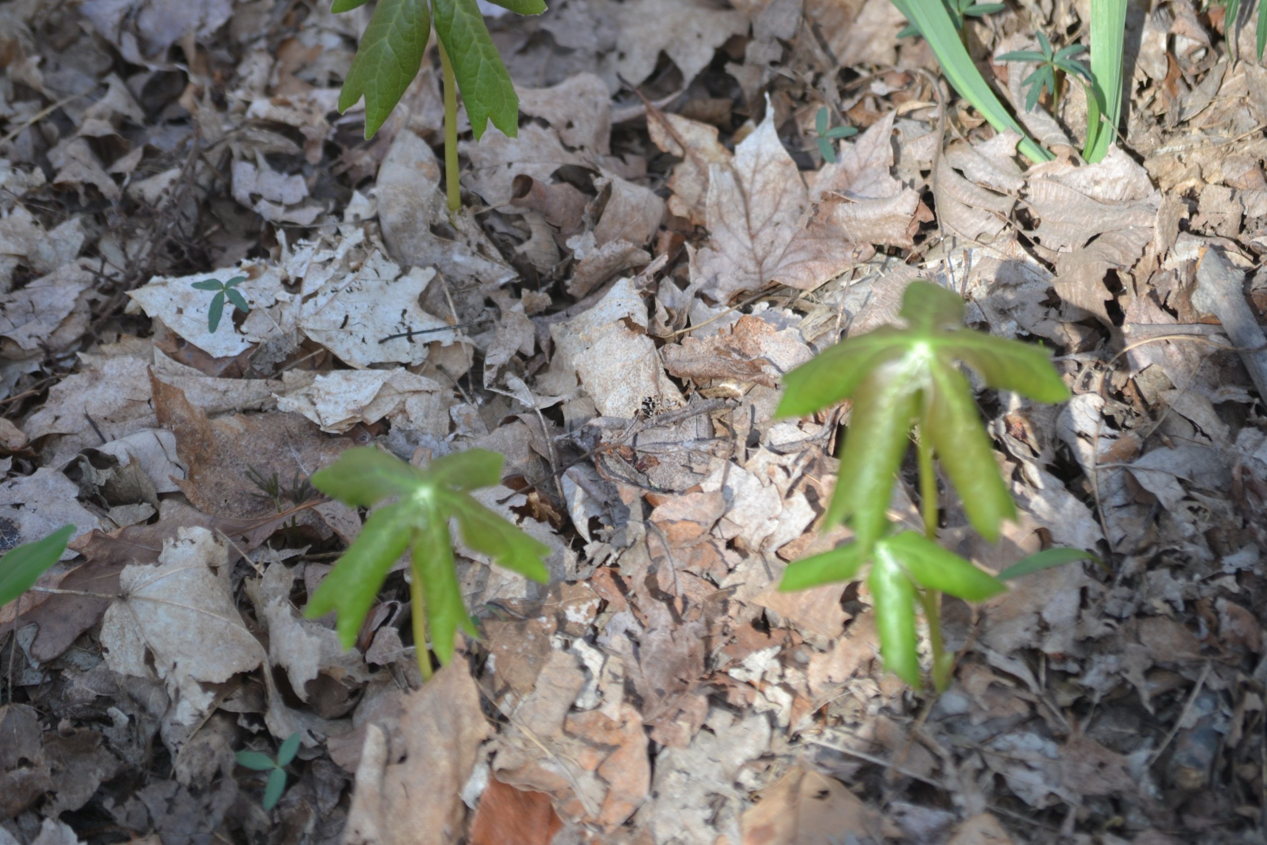
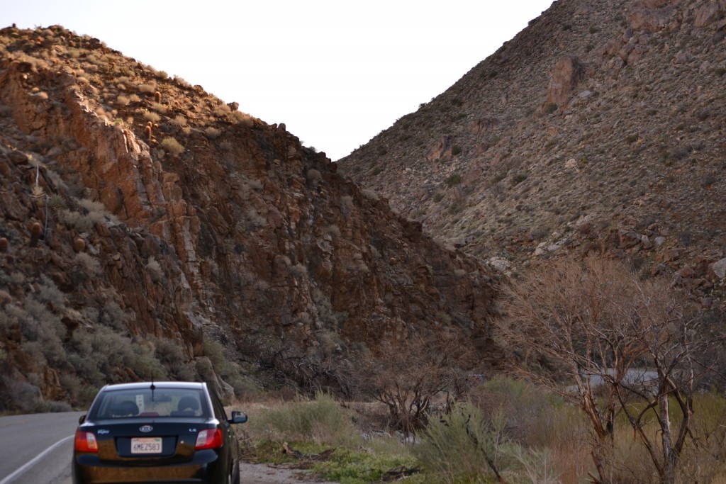 There are close to 500 miles of dirt roads and over 100 miles of hiking trails. Since I was coming from San Diego, I entered the park from state route 79, passing through the Laguna Mountains.
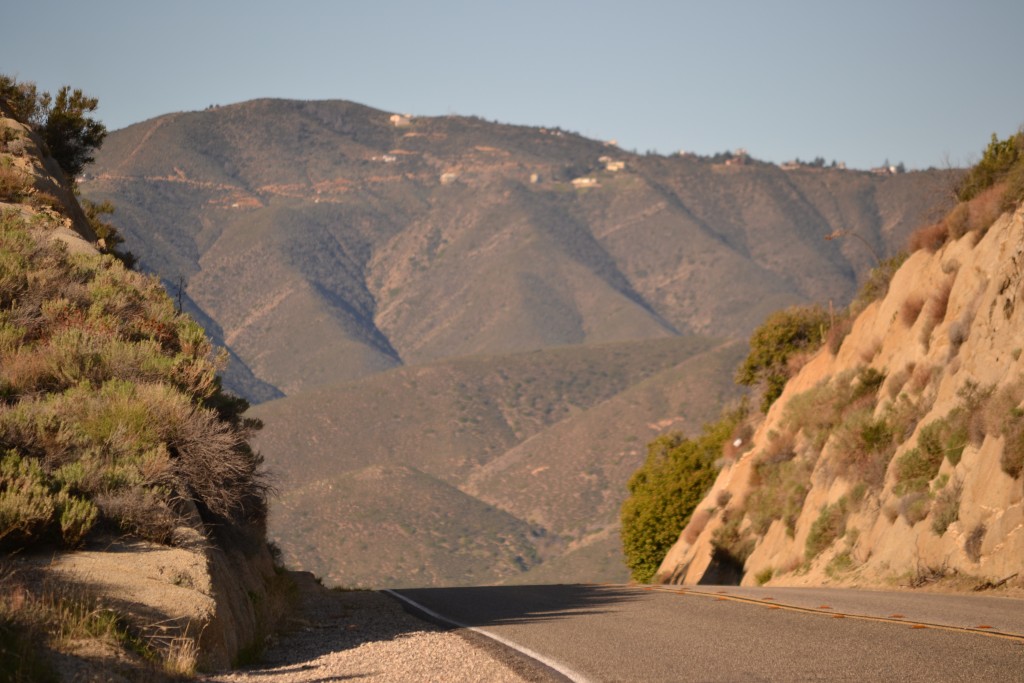
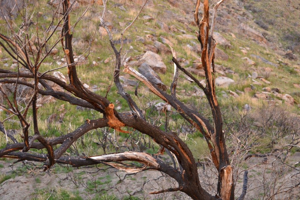


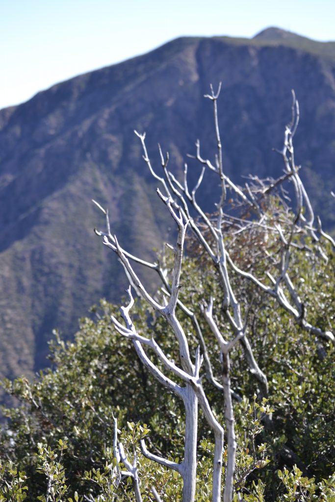
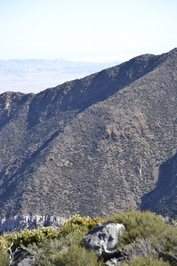
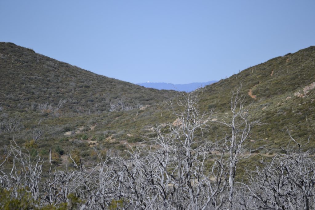
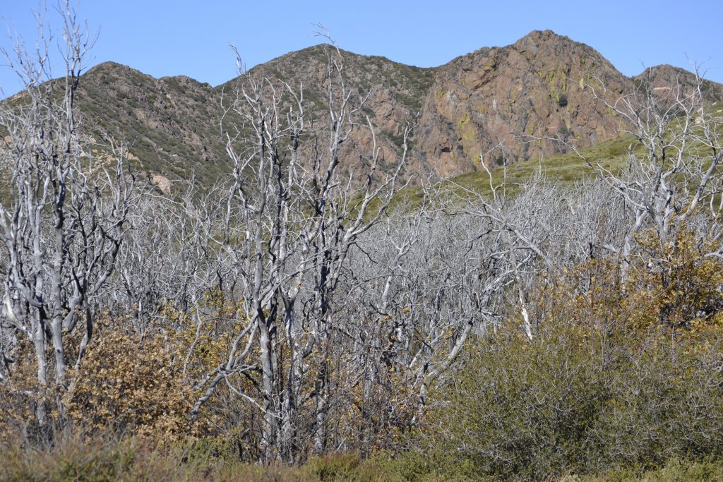
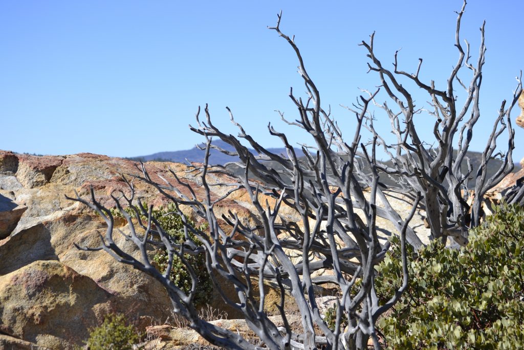
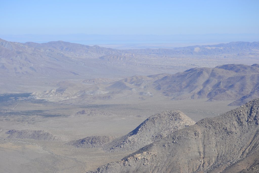
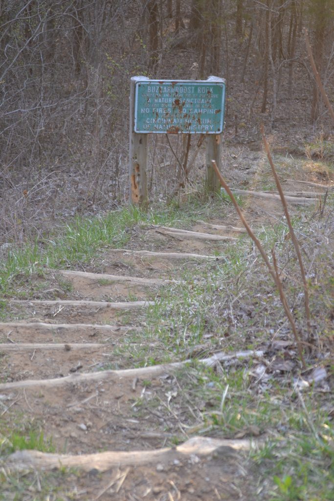
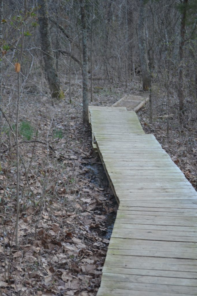
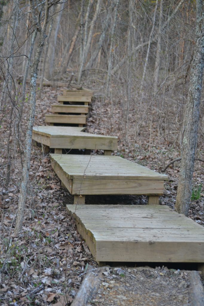
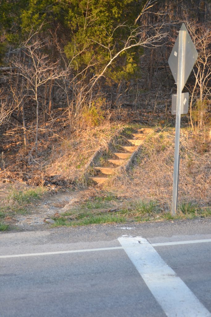
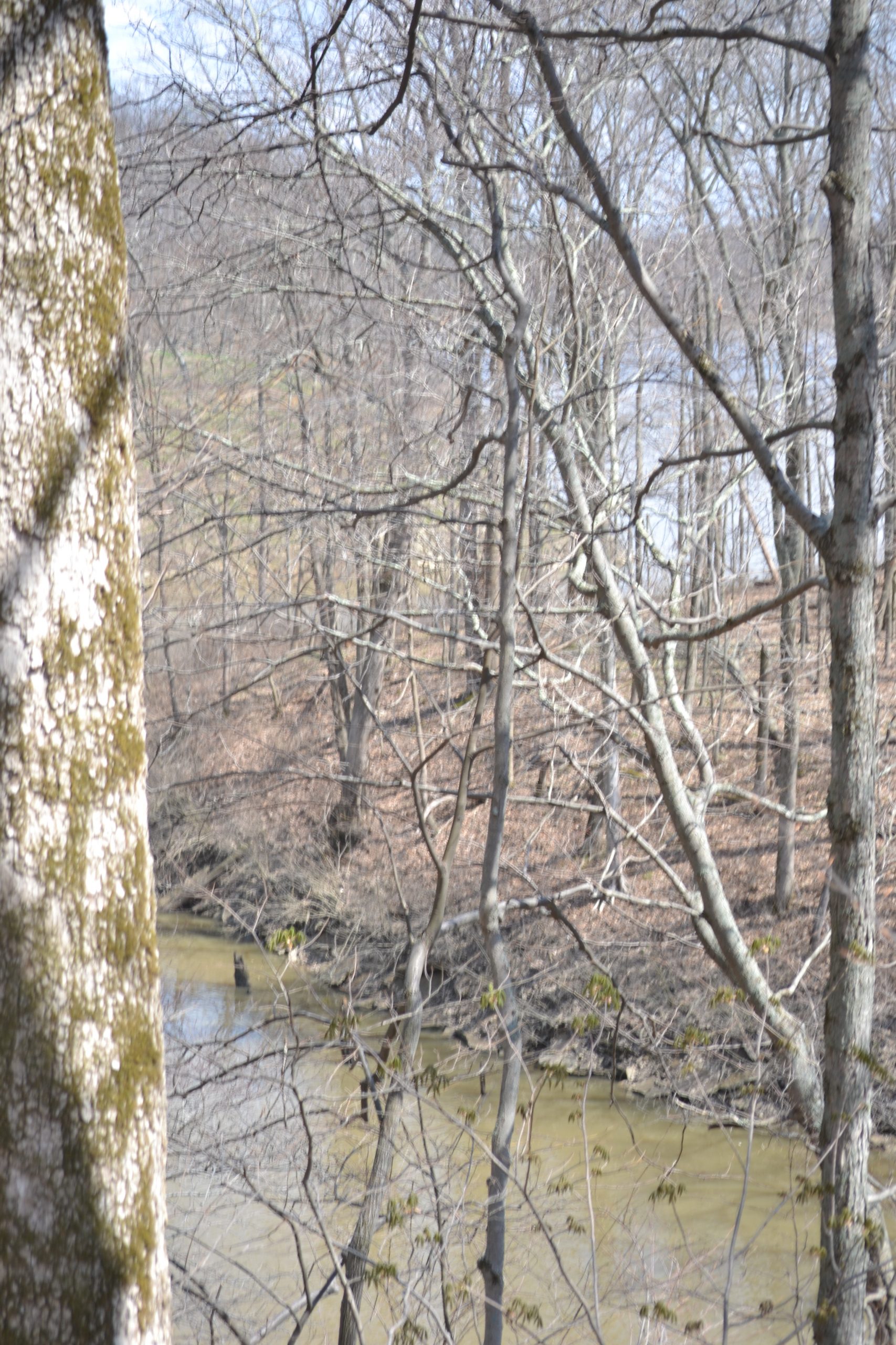
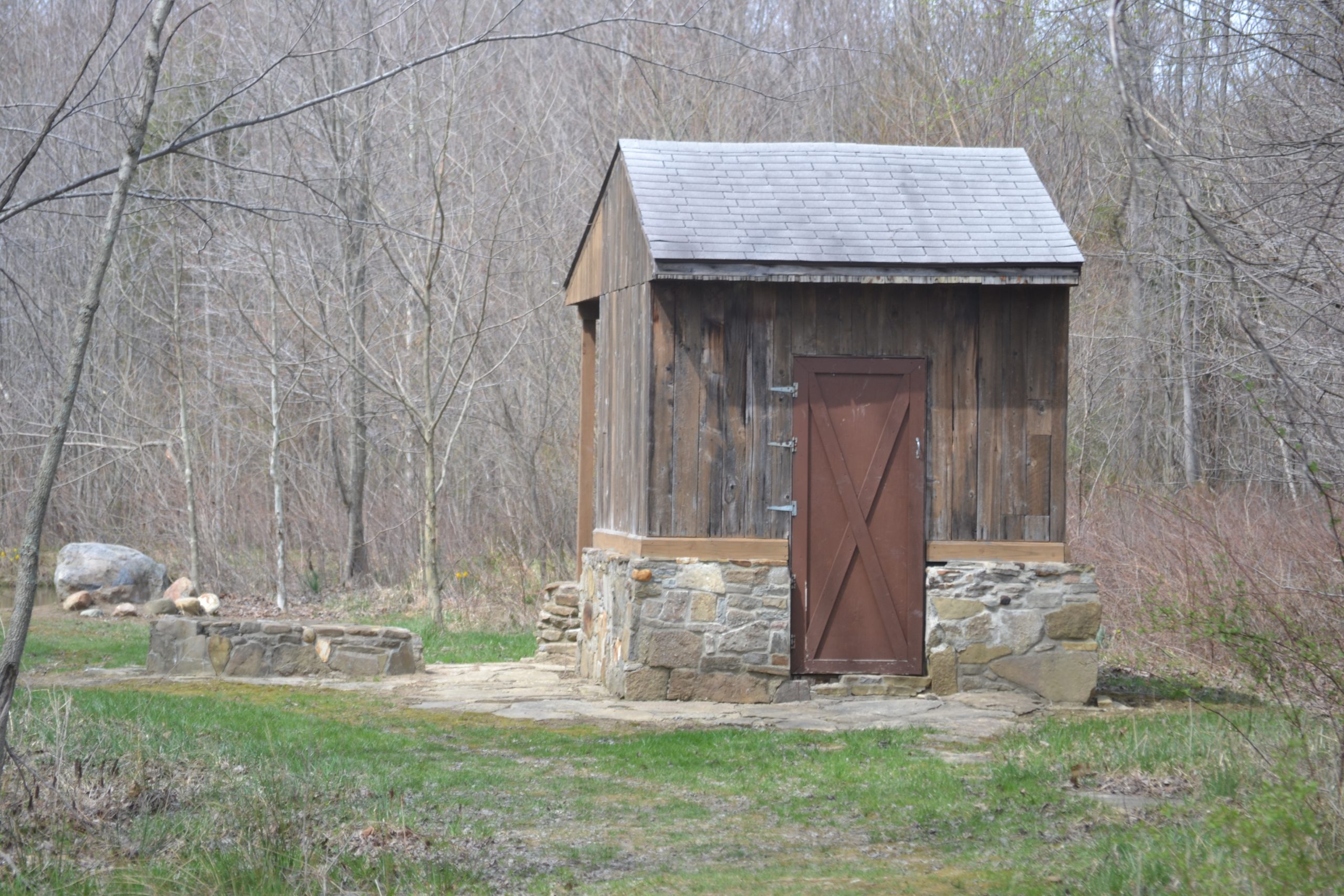
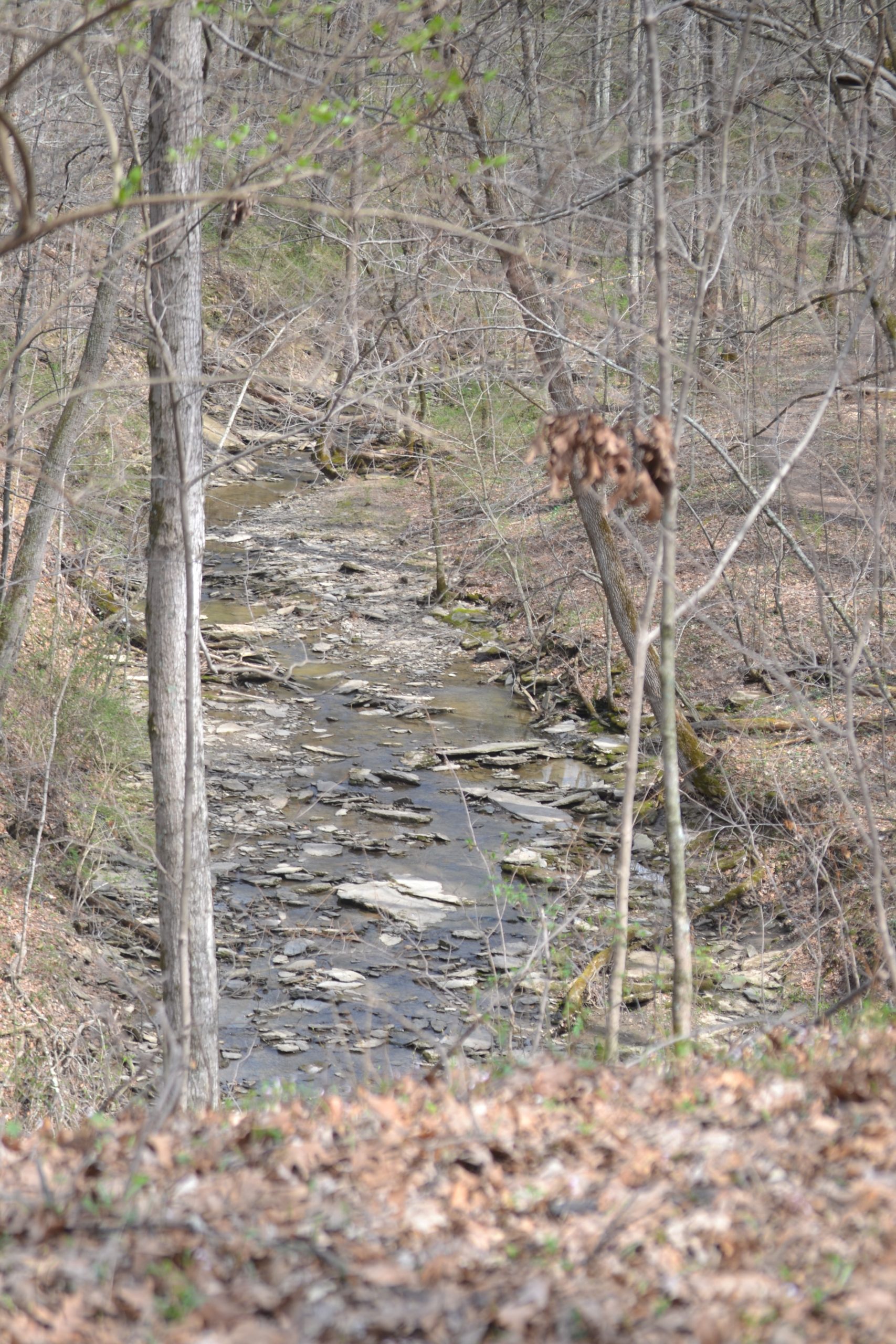
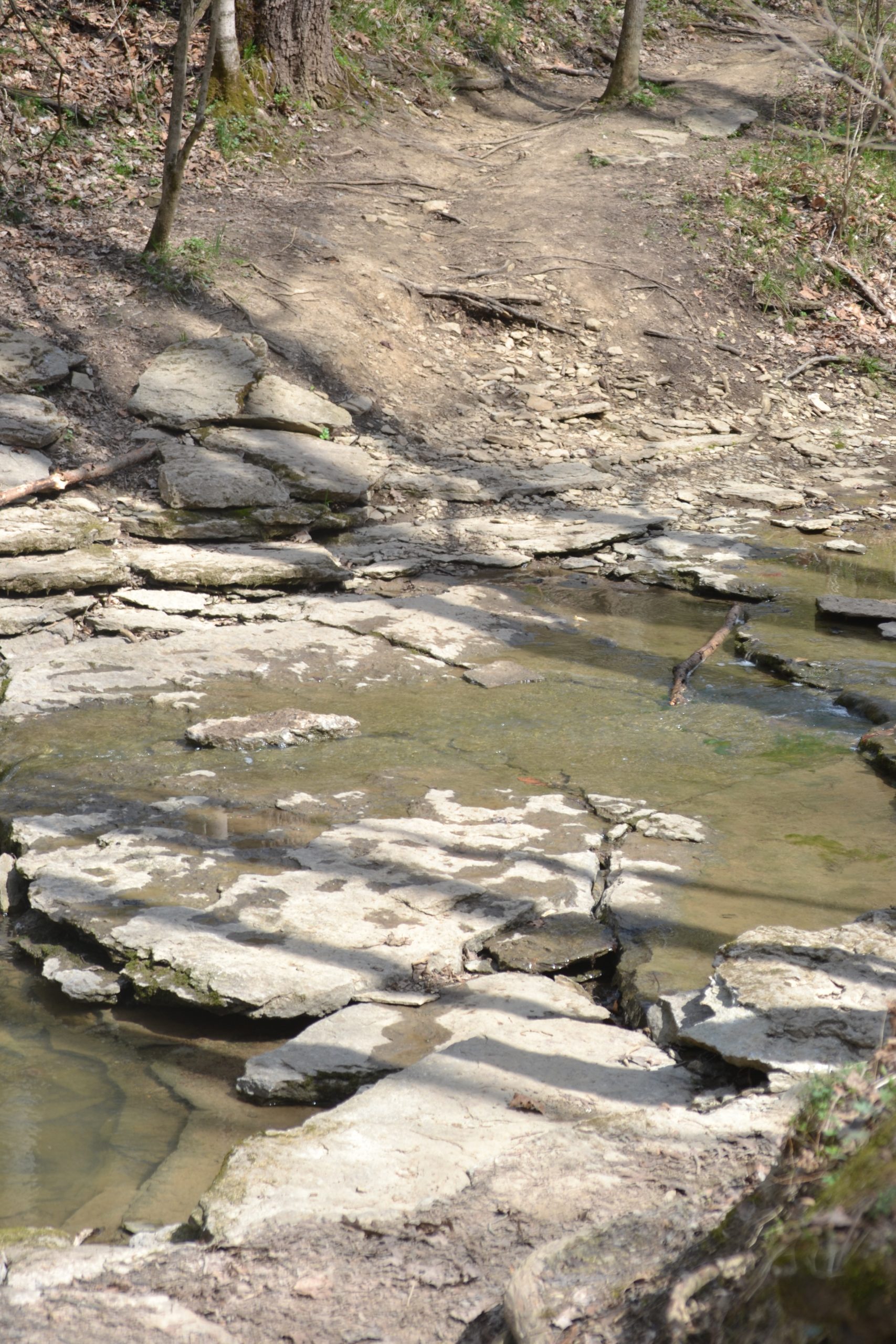
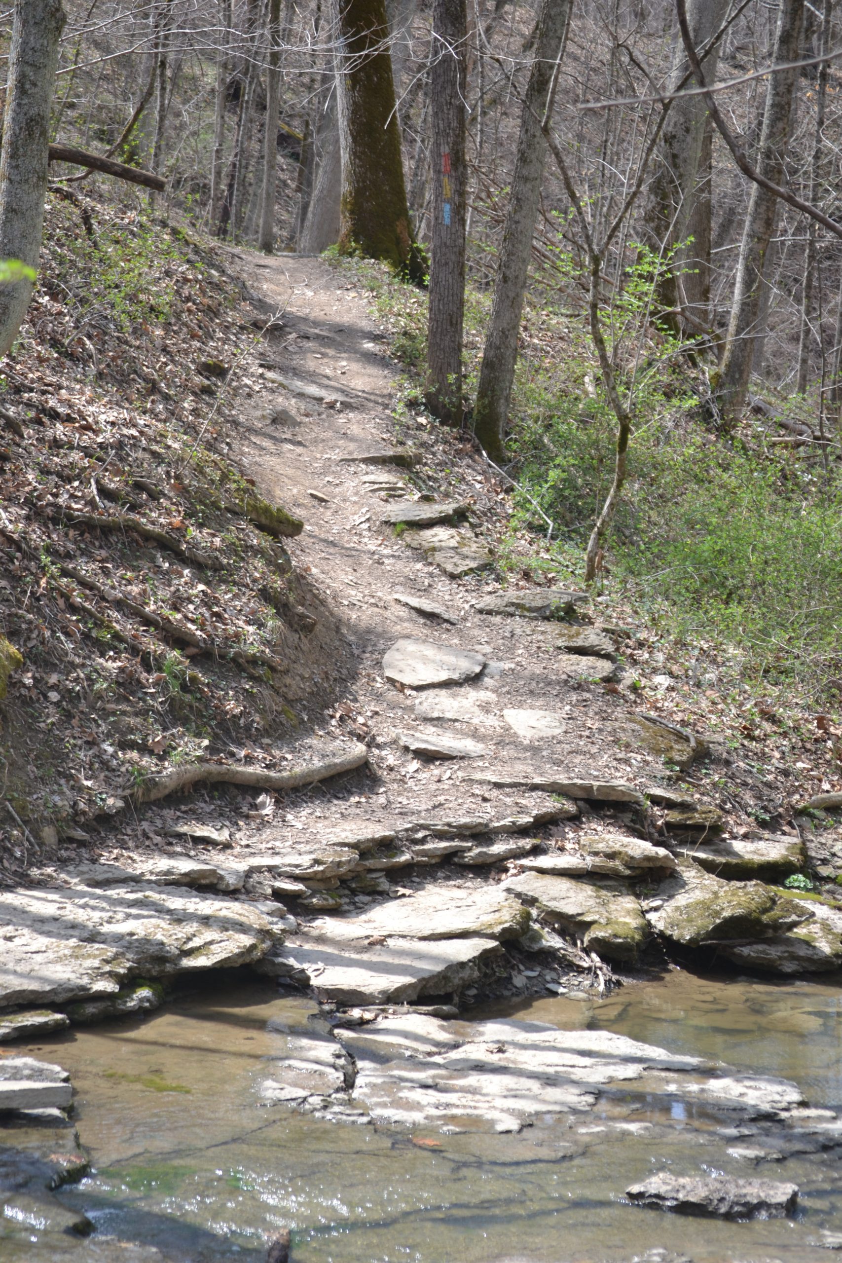
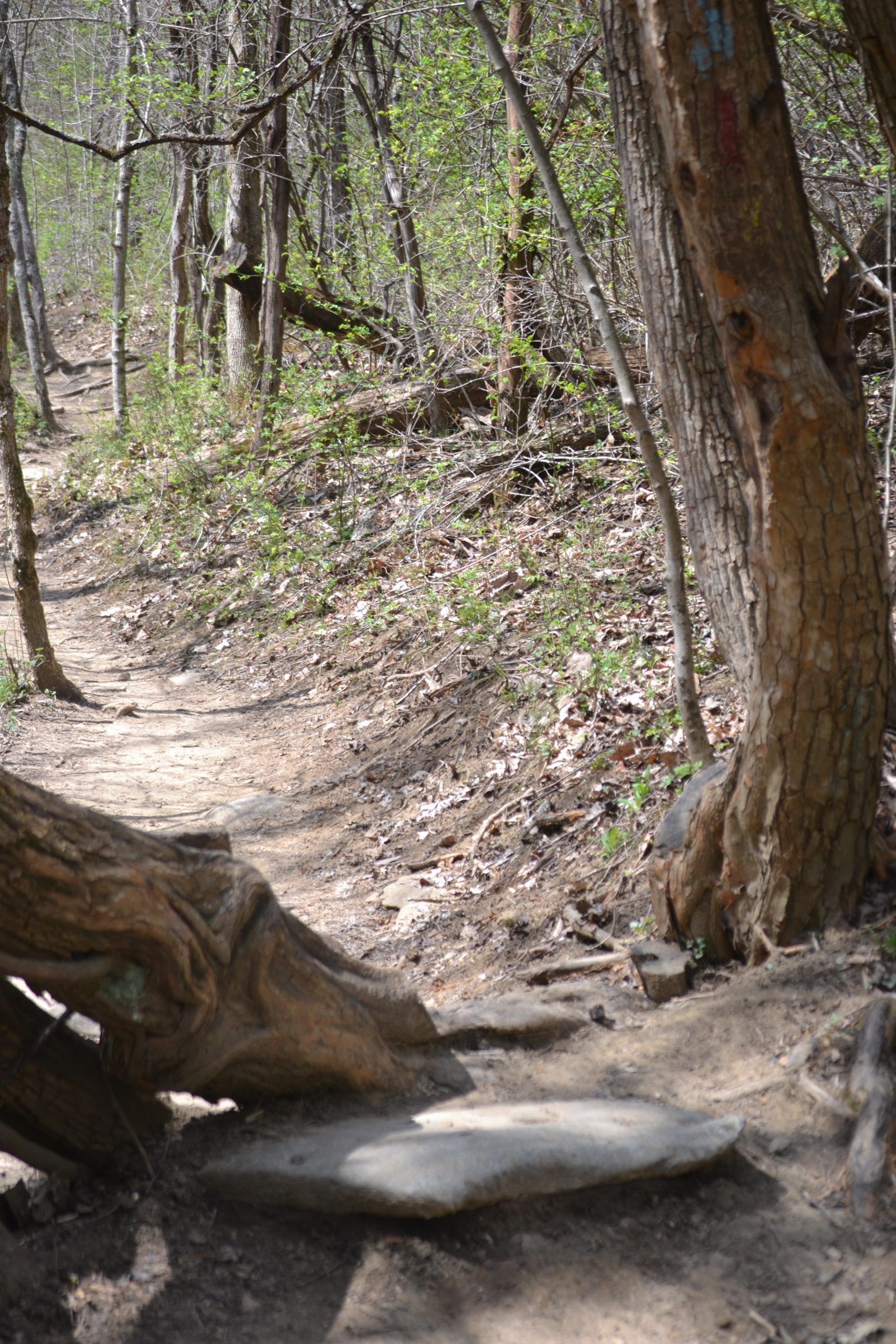
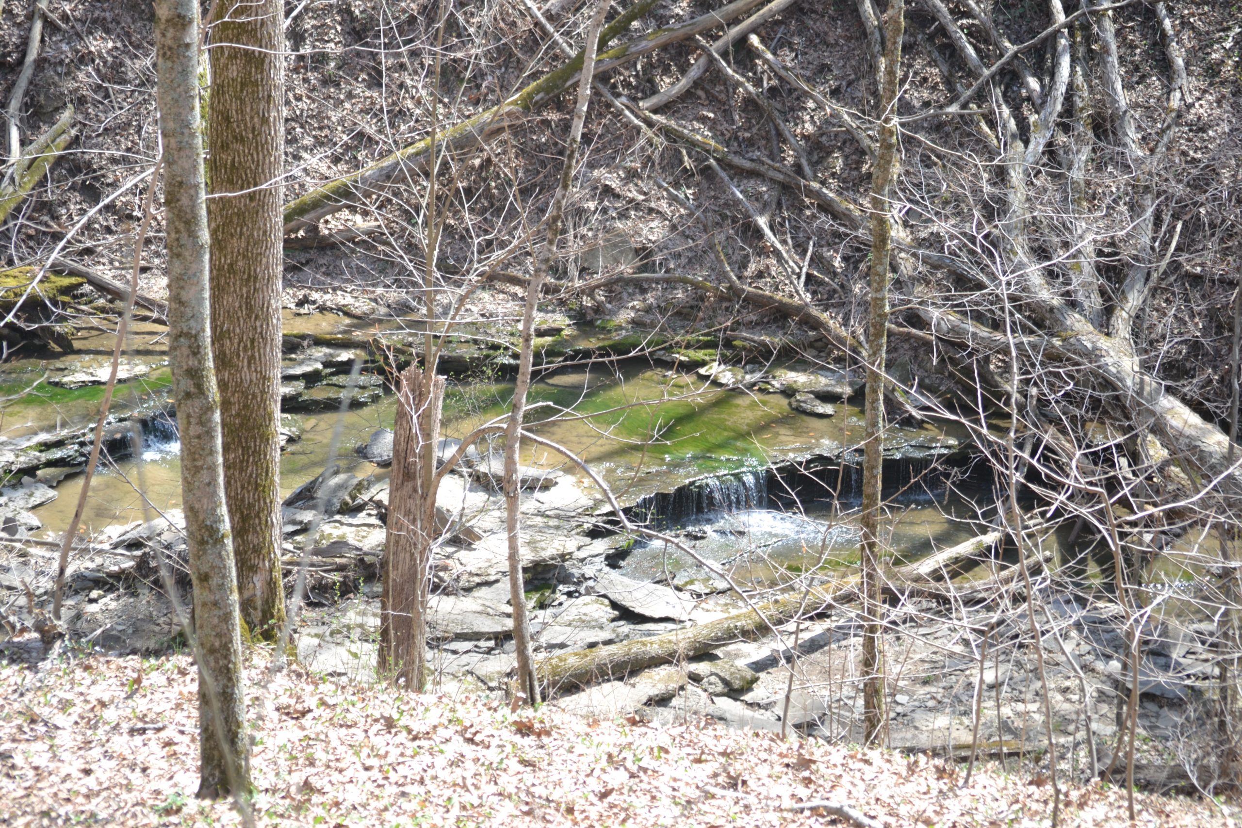
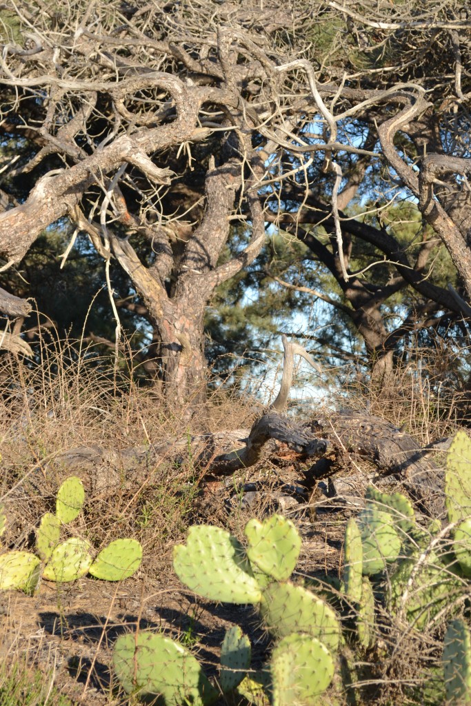
 Visiting East Fork State Park in the early spring was a quiet experience as the summer are the park’s busiest time of the year. For more information about East Fork State Park, visit their website at