Having lived on the coast of California, I was determined to watch the sunset each night in San Clemente. I would walk down to the pier, take a stroll along the beach until the last flicker of light disappeared into the horizon. I vowed never to take the experience for granted and wanted to continue my tradition on a recent visit to San Diego. I was so excited to meet my friend Kristi with whom I had hiked so many times. I thought about all of the SoCal hikes we had done as I drove into Torrey Pines Natural Reserve. This is absolutely one of the most beautiful coastlines in the world and I couldn’t wait to take in another Pacific Coast sunset.
We decided we would hike the Guy Fleming Trail because it has the most scenic overlooks. Measuring a short two-thirds of a mile loop, this hike is also known for its wildlife and wildflowers. There are several trails within the reserve including a beach trail. This one is most popular with the locals during the evening hours because it is easy and in good condition as well as provides the most beautiful views of the sunset from here.
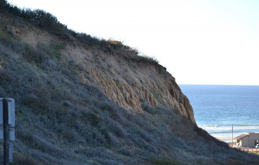
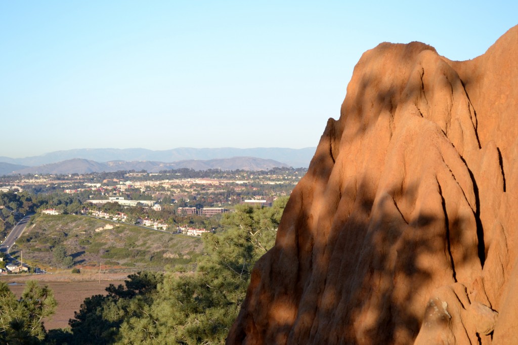
Torrey Pines surprisingly reminds me of the Badlands. Approaching the trailhead, we walked up the hill along the paved roadway, but soon turned into a dirt trail. Parts of the hike were somewhat unstable due to water erosion from a previous rain, so we knew to tread carefully and stay away from the edge.
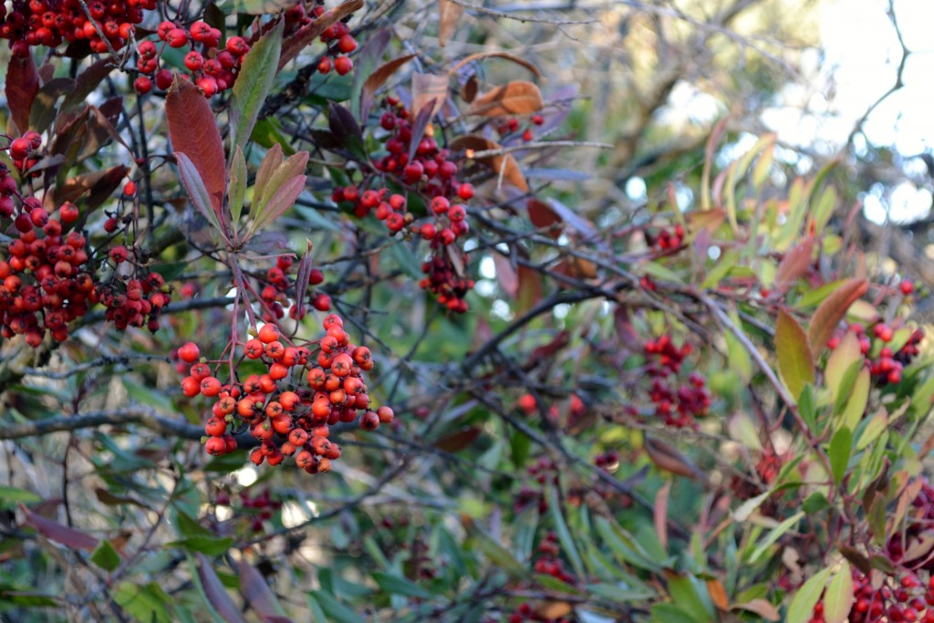
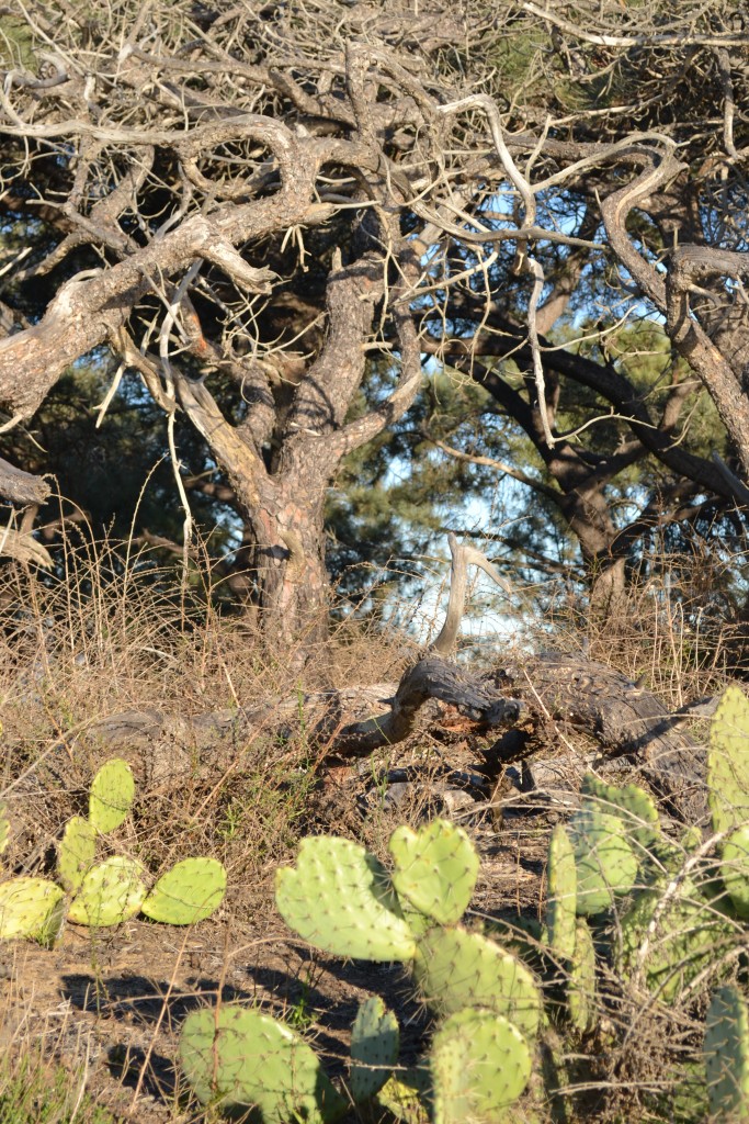
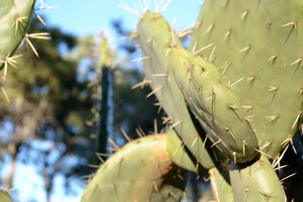
Shortly into the hike, we noticed the berries along the path and the diversity of plant life that grows in Southern California. The best time to see the blooms are during the spring season but there is always some type of vegetation to see throughout the year.
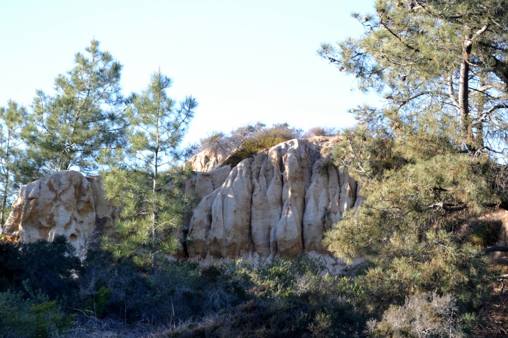
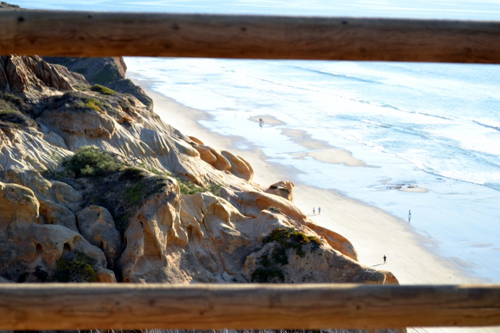
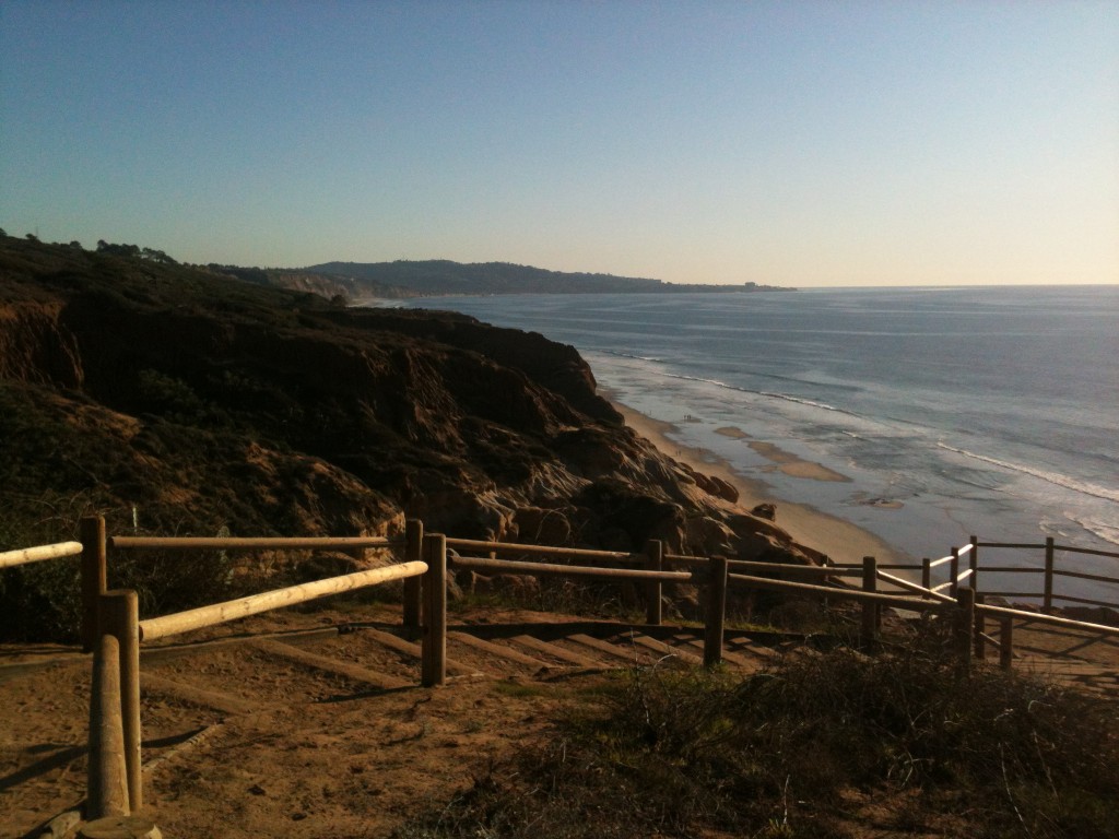
It became clear that we were nearing the edge of the cliff as we caught glimpses of the ocean through the thick vegetation. I was looking forward to the scenic views once I arrived closer to the shore where we could look out into the horizon, or count the number of people strolling the beach below. Ghoulish rock formations hiding between the trees appeared as we continued heading west towards the coast.
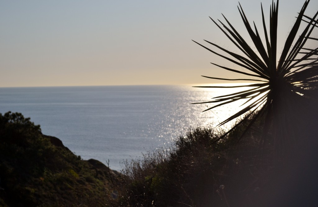
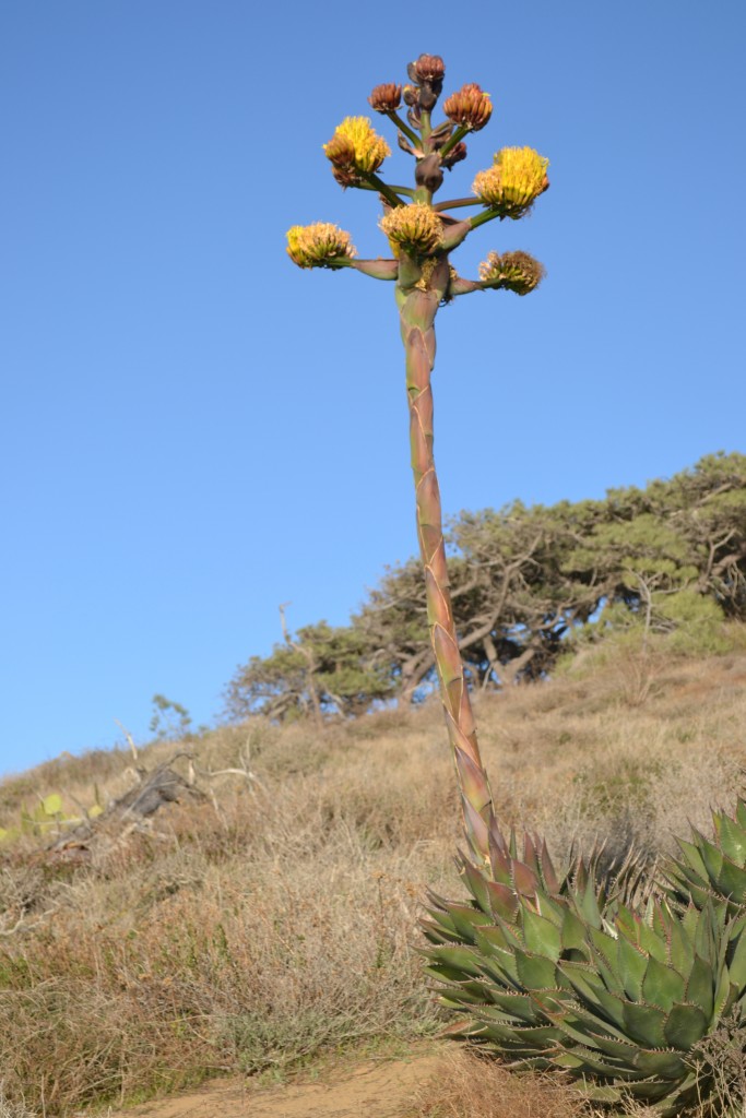
Along the path were Mojave Yucca plants growing along the trail and we began to hear the crashing of waves along the Pacific Coast. Looking down towards the beach we noticed the sculpted sandstone canyon. The rocks and vegetation were an interesting desert-like contrast against the ocean and beach below.
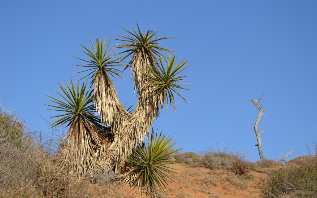
The Mojave Yucca plants looked like scarecrows standing along the trail. Adding to the interesting landscape, they appeared as fireworks sprouting out from pillars of hay. The yucca bloom between the months of April to May exhibiting green capsules with white flesh that eventually dry up in the late summer months.
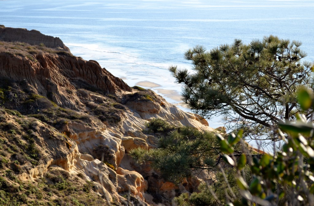
This area is home to the rarest tree in North America, the Torrey Pine, for which the preserve is named. Indigenous to southern California, these pines also grow in Santa Barbara, but only in these two locations. It is for this reason, the Torrey Pines Preserve was designated to protect these trees from further city development.
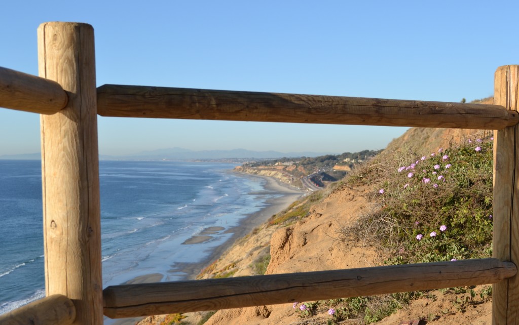
Along the trail were several scenic lookouts where we stopped to admire the coastline. Looking towards the north, I was able to see Del Mar’s Peñasquitos Marsh which is a part of the preserve. The name is Spanish for little cliffs and forms a natural border between San Diego and Del Mar.
Growing among the rocks were pink sand verbenas that added vibrant color to the clay hues of the sandstone.
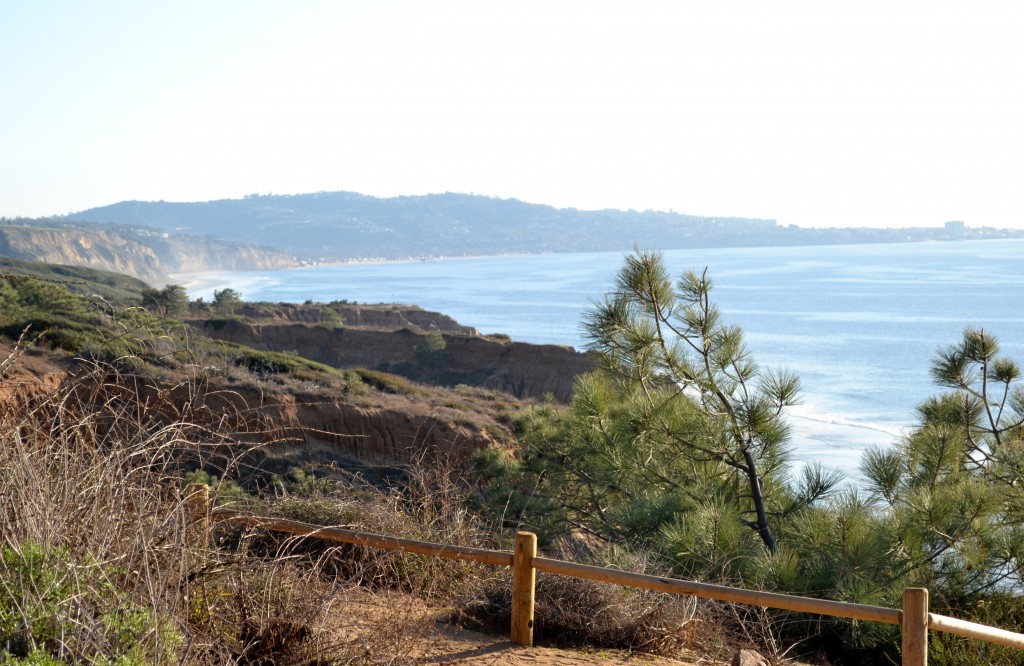
Off in the distance, I could see La Jolla Cove as I looked south from the trail. On a clear day, San Clemente and Catalina Island can be seen from here as well.
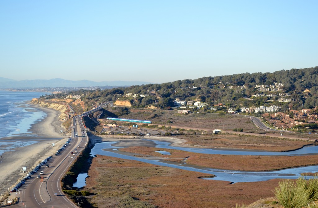
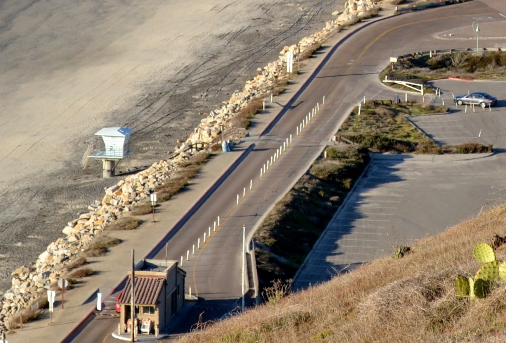
Peering down from the trail towards the parking lot and entrance station, we were looking up the coast towards the north. From here, we could once again see a small section of the Los Peñasquitos Marsh Natural Preserve and Lagoon.
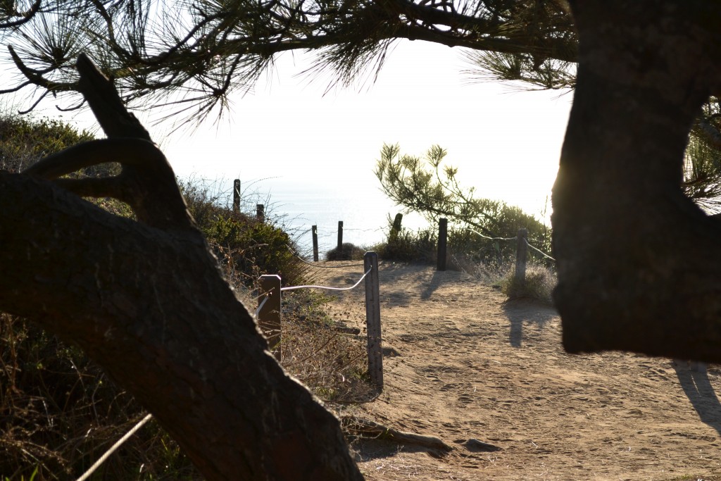
We began to travel back inland on the trail through a small forest of Torrey Pines. Looking closely at the pines we noticed that their needles grow in bundles of five which is unique to its species. The Kumeyaay Indians collected the pinon nut from the Torrey Pine as food while the needles were used to make baskets.
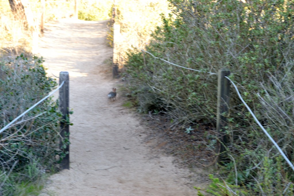
We were hoping to come across some of the local wildlife on the trail because there were not many hikers that day. The only encounter we had was a small bunny hopping across the path, but foxes and mountain lions have been spotted on the preserve.
We returned to where we had first started our hike and happened to notice shafts of sunlight creating shadows on the rock formations. We had eventually reached the paved road with only a ten minute walk to the entrance gate up the steep Torrey Pines Park Road. With plenty of time to arrive at the beach, I was on schedule to watch the glorious sunset.
What trails have you hiked in Southern California? I would love to hear about your experience if you would kindly leave a message in the comments section below. Many thanks for reading about my hike through Torrey Pines and wishing you many Happy Travels!
What to See and What to Do:
Torrey Pines Natural Preserve
12600 North Torrey Pines Road
San Diego, CA 92307
Telephone: 858 755 2063
- Admission Fee: The facility use fee depends on which parking lot you use. South Beach parking during high season (starting at Spring Break until the end of September) costs $15 from Monday – Thursday and $20 from Friday – Saturday. Low season begins in October until Spring Break where fees are $12 from Monday – Thursday and $15 from Friday to Sunday. Note that high season prices may be charged during holidays, so be prepared. For parking on the North Beach, high season (from Spring Break to end of September_ are $10 from Monday – Thursday and $15 from Friday – Sunday. Payment is accepted at the Automated Pay Machine if no staff is available at the kiosk. Low season rates are $3 from Monday – Thursday and $10 from Friday – Saturday. Annual passes are available for $195.
- Hours: Open all year from 7:15AM to sunset
- Amenities: Visitor center, museum shop, guided nature walks, fishing, parking
- Scenic View: Gorgeous views of the coast from the hiking trails and this is the perfect place for watching the sunset.
- Length of Visit: 3 – 4 hours, but there are hikes that will take under 1 hour
- Tips for Your Visit: This is a popular location for sunset and holidays can be extremely busy. Bring water especially if you are hiking. Food and drink (with the exception of water) is not permitted on the Reserve, but are permitted on the beach. No alcohol on the Reserve and the beach. Dogs are not permitted and there is no smoking allowed. Drones are also banned from the Reserve and beach.
Where to Stay:
San Diego Marriott La Jolla
4240 La Jolla Village Drive
La Jolla, CA 92037
Telephone: 858 587 1414
Where to Eat:
Nozomi La Jolla
4150 Regents Park Row #190
La Jolla, CA 92037
Telephone: 858 452 7778
I absolutely LOVE Nozomi’s Famous Chirashi Salad!
What to Eat:
- Burritos at Fred’s on Pacific Beach
- Ceviche at Karina’s Ceviches & More
- Fish Tacos at Wahoo!
- Uni at Pacific Beach’s Sushi Ota
What to Read:
- From What I Remember, by Stacy Kramer
- Beat, Slay, Love by Thalia Filbert
- The Tombs, by Clive Cussler
- How to be an American Housewife, by Margaret Dilloway
Photo Guide for La Jolla:
- La Jolla Cove
- La Plaza La Jolla
- The beautiful architecture of La Valencia Hotel
- View from the Park Bench at the Museum of Contemporary Art
- Salk Institute
- Scoops Ice Cream
- Scripps Pier and La Jolla Shores
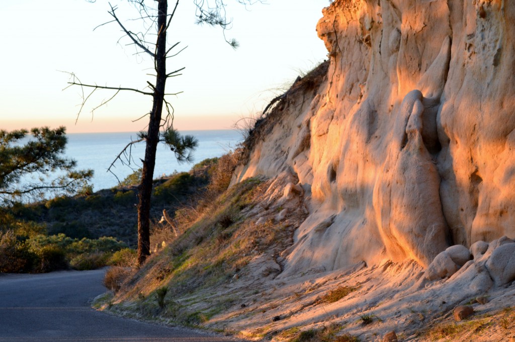
The Sun Setting in Torrey Pines
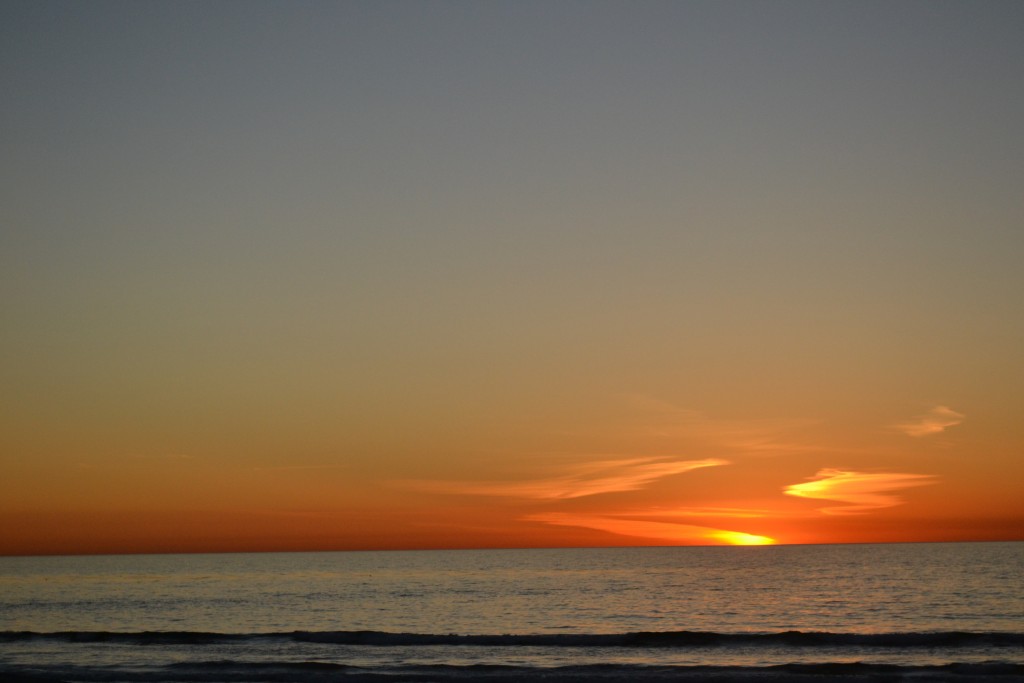
The Sunset from the Beach at Torrey Pines
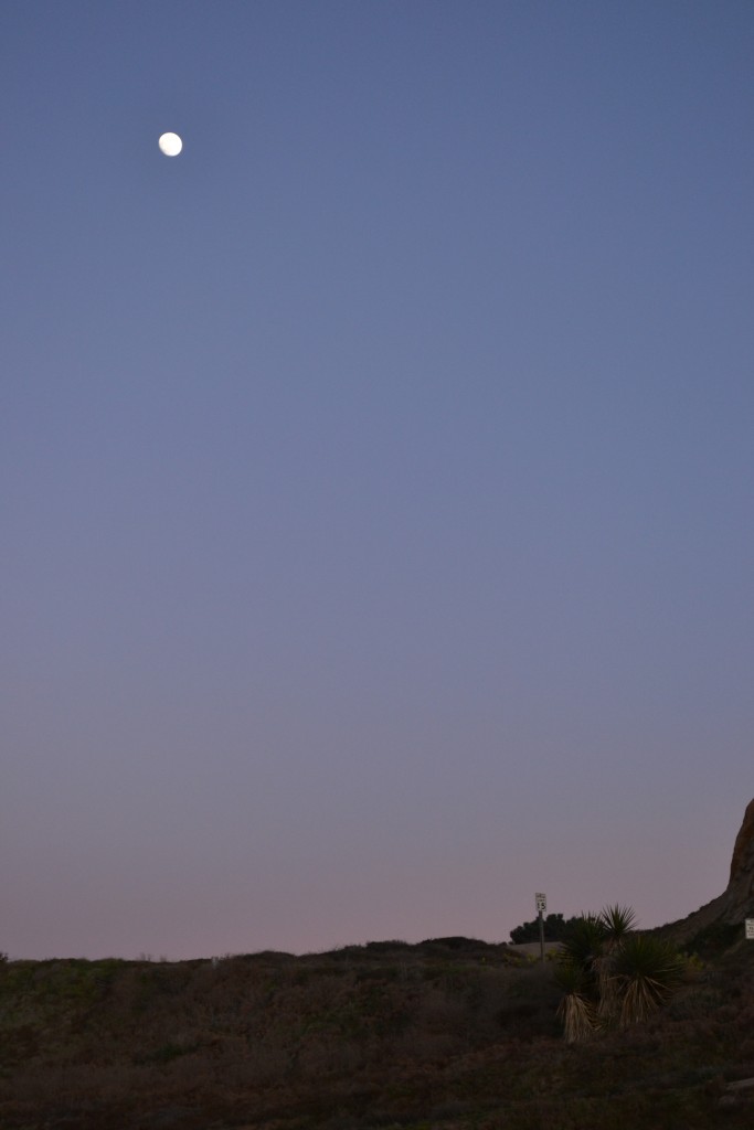
Dusk at Torrey Pines State Preserve
BCheck out more photos of Torrey Pines State Preserve in the Gallery below
